
The breakfast at the town cafe was absurdly huge; none of us could finish our meals. The town of White Bird, named after a chief who led a small band of Nez Perce to Canada after Chief Joseph surrendered, is filled with Trumpers. I suspect there is a serious distrust of Washington. I can‘t imagine why.

Our maps and apps all indicated that we’d be doing some serious climbing today. A very short climb out of White Bird put us on busy US 95 for the day.
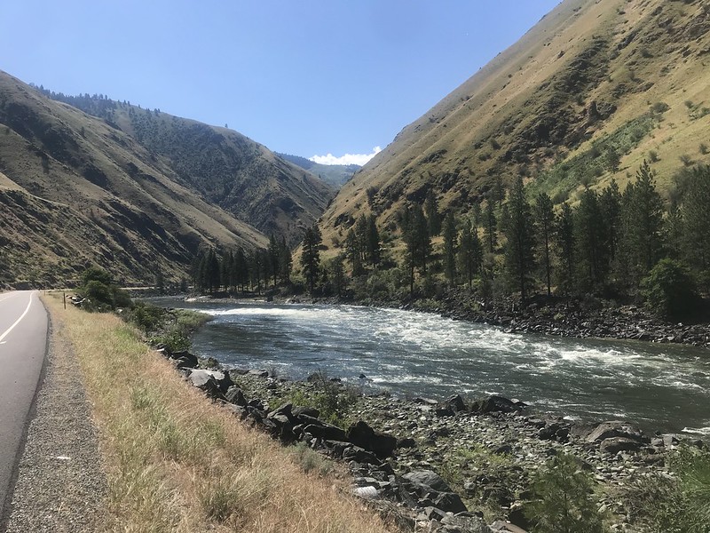
We traveled up the Salmon River, which is a whitewater hot spot. Looking down on the rafters, we knew we were gaining elevation, but it barely felt like it.
The landscape changed every few miles which was a nice distraction from the heavy traffic to our immediate left. There were rounded green hills, craggy cliffs, mountain meadows, all carved down the middle by the twisting Salmon River.
We stopped at a farm stand for a break about half way. A cold sweet tea and a big cookie topped off my tank. The farther we rode the hotter it became. After weeks in the high mountains summer appears to have caught up with us.
We checked into a motel in New Meadows instead of camping in the town park. It’s Mark’s turn to sleep on the floor.


Miles today: 64.5 Tour miles: 2,593

You are near-ish to wear my grandparents used to live in NE Oregon. Are you going near Wallowa Lake at all? Enterprise, Lostine, Chief Joseph? It’s beautiful countryside.
I don’t think so. Council/Cambridge/Oxbow in the next day or two then Baker City
Ah Baker City! I’ve always wanted to stop there.
I totally enjoy your posts and read them faithfully!
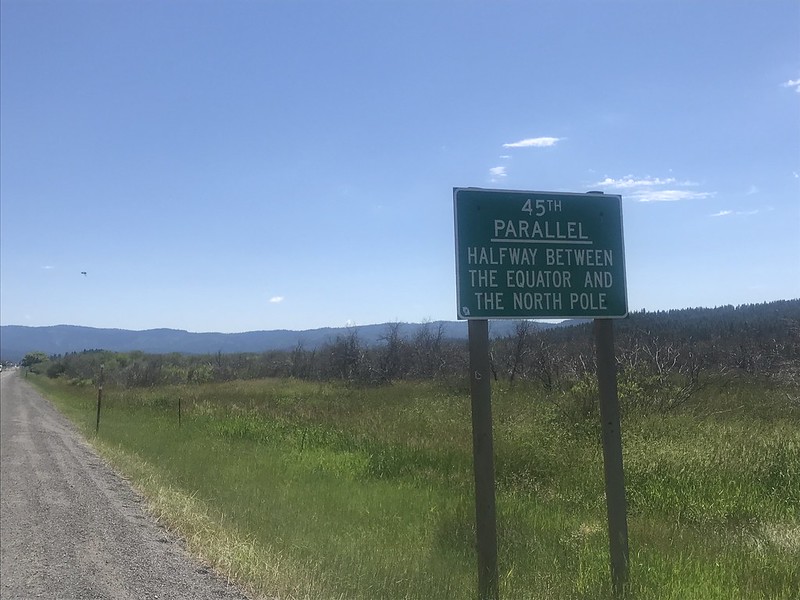
Apropos of your 45th parallel sign: the town of Poniatowski, WI is at 45 degrees N, 90 degrees W, so in the exact center between equator and North Pole/ Greenwich Meriden and International Date Line.
Couldn’t finish your meal? What a travesty.
It was absurdly big. Also, riding this much suppresses the appetite. We don’t feel like eating. Just drinking endless amounts of ice water