Any Road Tour: Day 40 – The Mule goes over the top

Last night I over did dinner again. Cheeseburger (Montana beef is mighty tasty) with fries, three local Belgian white beers, and tater tots stuffed with jalapeño and cheese. Suffice it to say, I did not sleep all that well.

I awoke at 5:30 to a massive muscle cramp in my left calf. It hurt so much. I told myself to breathe through the pain and it subsided. (Frankly, I think the breathing just took my mind off the pain.)

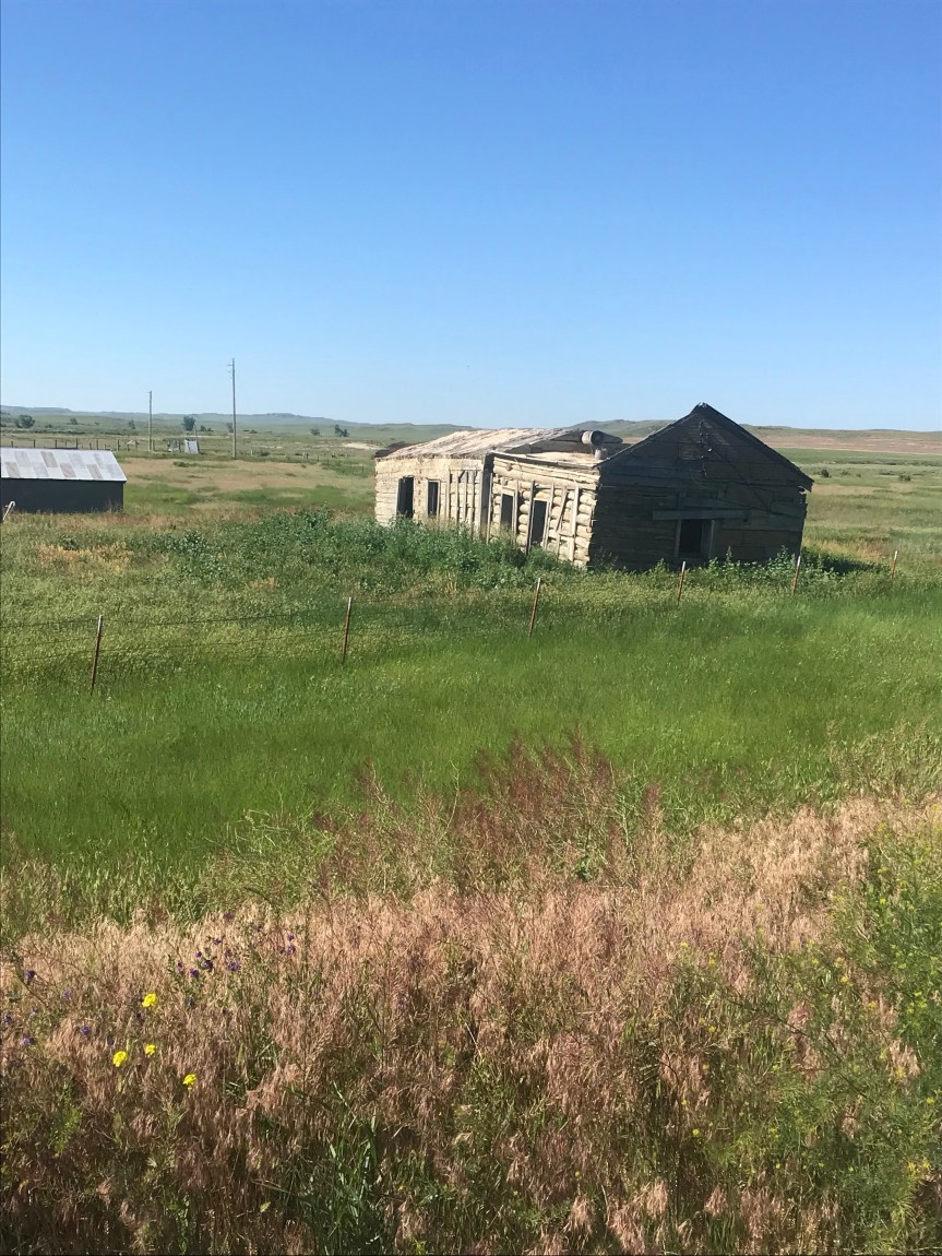
Breakfast was a massive serving of biscuits and gravy with an equally massive side of hash browns at Mel’s Diner across from the Inn. I was disappointed that the Fonz wasn’t there but the food was great.

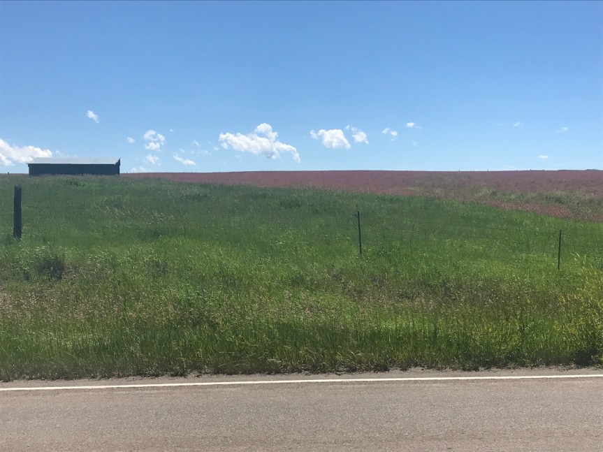
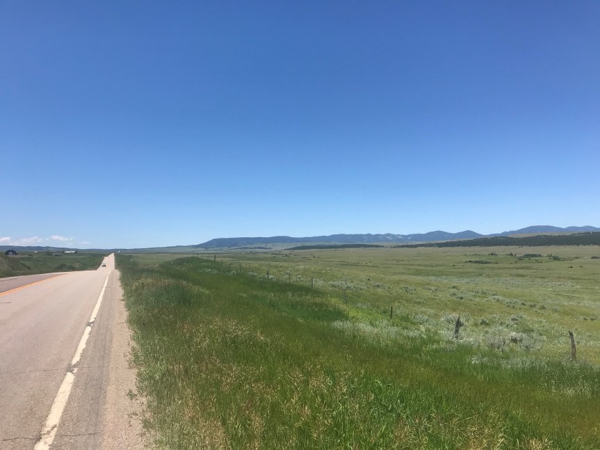
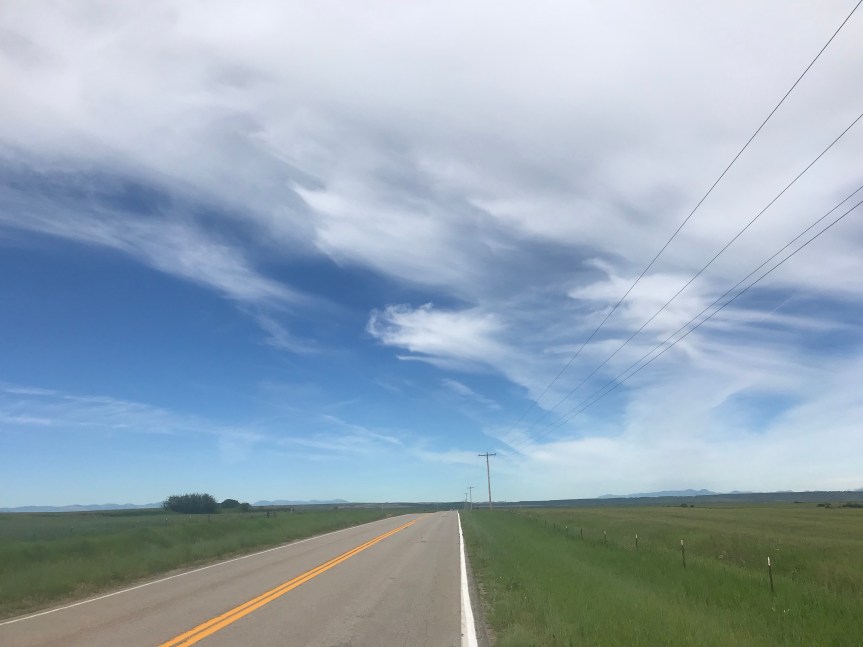
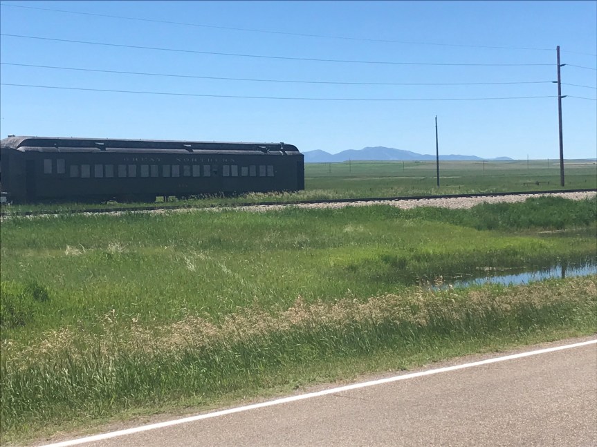
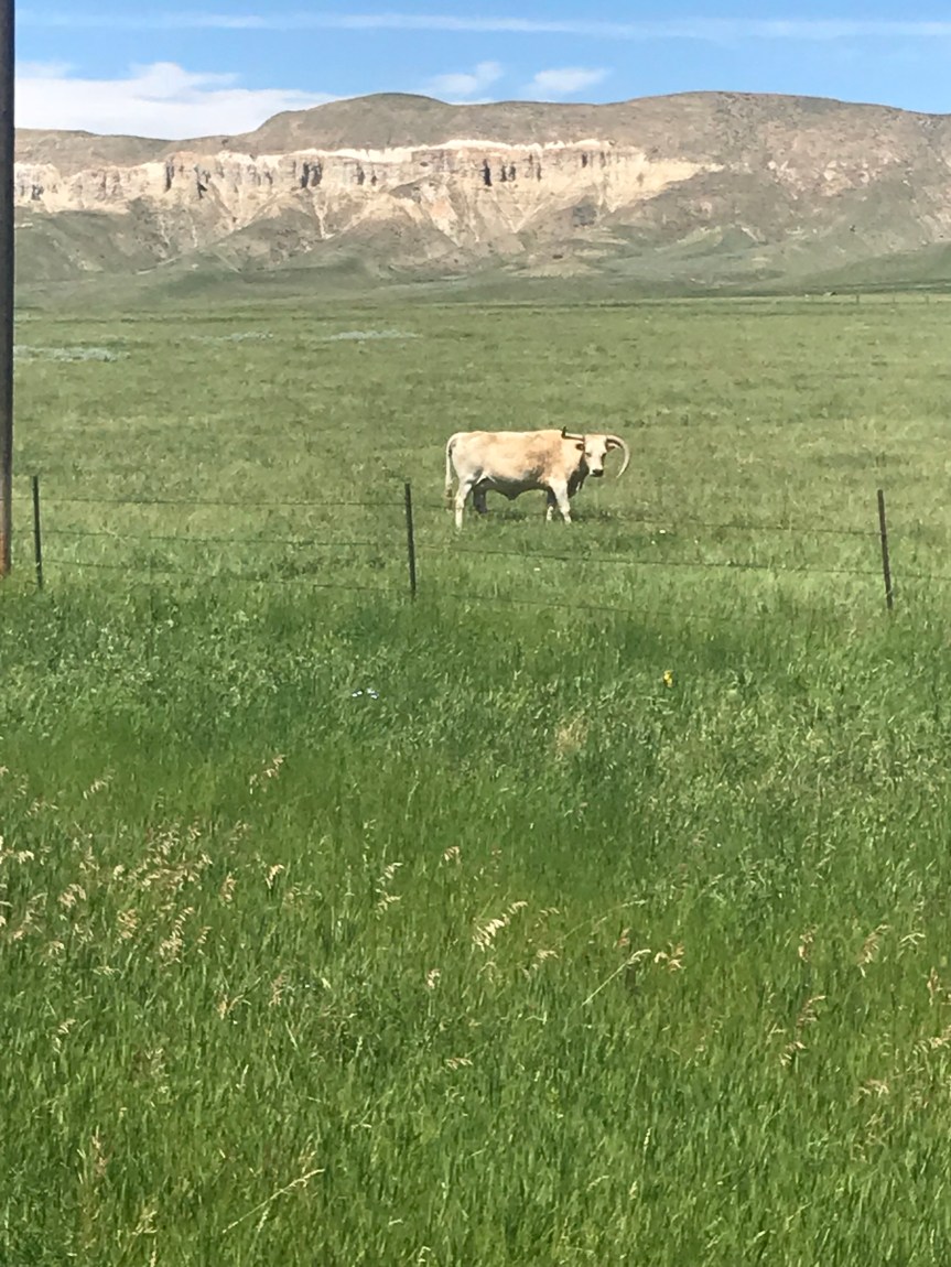
Off I rode budding Augusta farewell. I headed south roughly parallel to the Rockies. A favorable wind allowed me to ride comfortably for 20 miles before I turned west and began THE CLIMB OF DEATH.

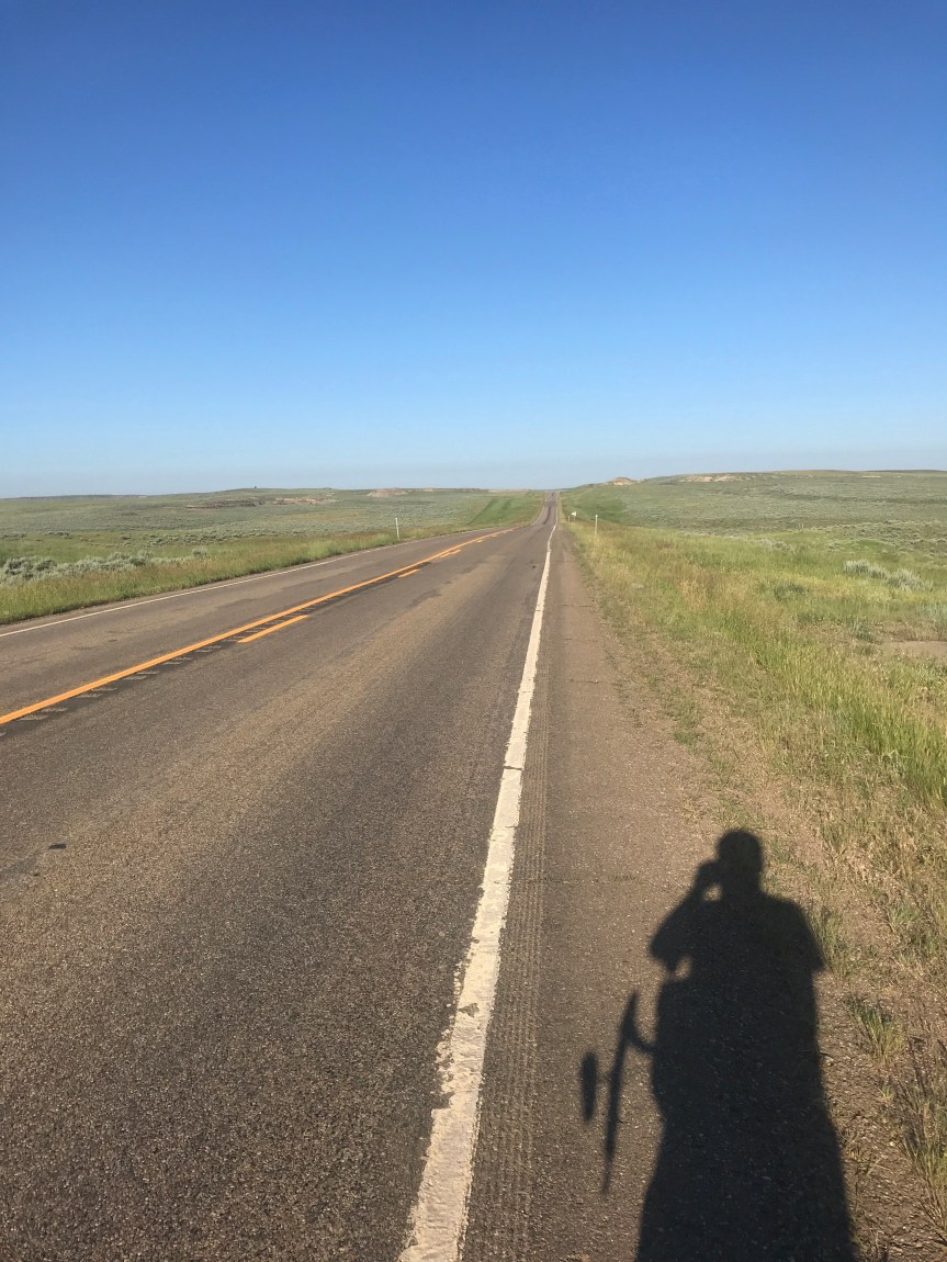
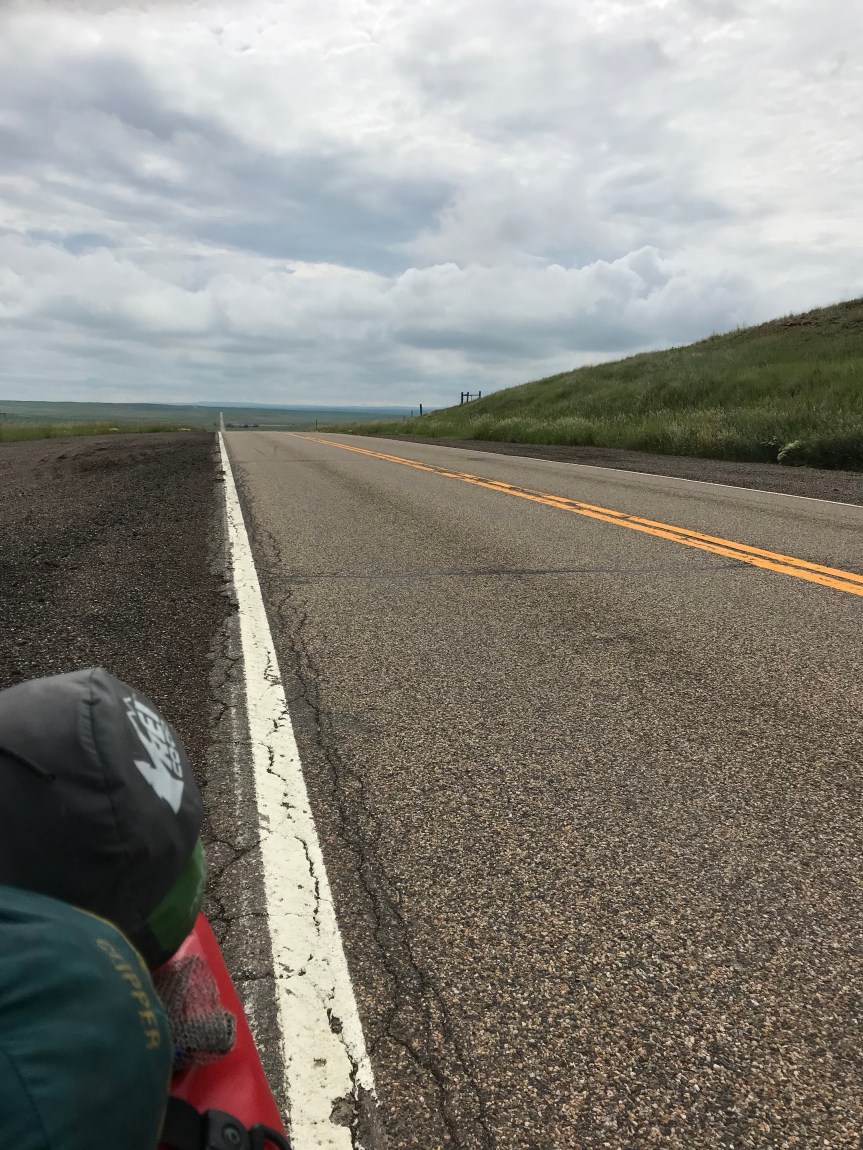
I road a two lane highway with minimal shoulder (thanks to rumble strips). Speed limit 70. Up, down, and around the road meandered. The ups were bigger than the downs as I slowly made my way to 4,500 feet. Then the gun began.

The climb to Rogers Gap at 5,600 feet was 8 miles into a headwind.

Of course, to make it more interesting the road became steeper near the top.

I pulled over to rest about 3 miles from the crest and my bike started to roll backwards. I had been climbing so long that I didn’t realize how steep it was.

I paced myself as I ascended. Getting to the top wasn’t particularly difficult, it just took a long time.

Then I saw the sign for the top. Continental Divide, Ma! (Sorry. Geezer cinematic reference.)

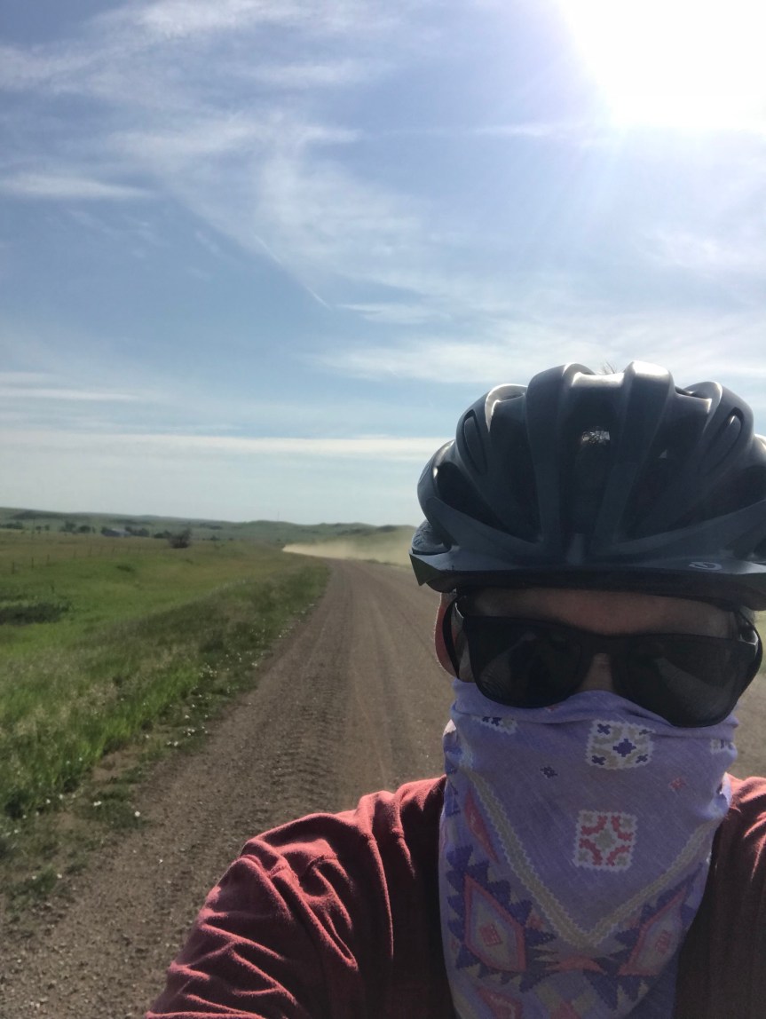
Some cars were parked on the shoulder. A woman got out of the rearmost one and offered to take my picture.

Her name was Maria. We got to talking and I mentioned that I wasn’t sure where I was staying tonight. Maria was doing field work with the Montana Native Plant Society. She invited me to stay with her group (of over 100 people) just east of Lincoln.

I begged off then took off down the mountain. Or not. The dreaded soul sucking westerly Montana headwinds were much stronger on this side of the Mountain.

Running low on food and water I realized that it was poor form to turn down such s gracious invite.

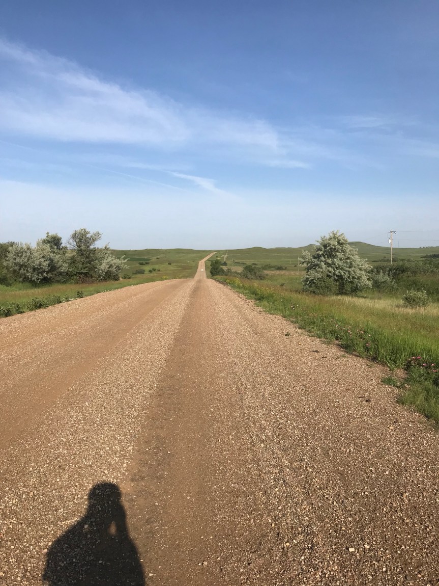
After I crossed a beautiful river, I followed Maria’s directions and ended up at their campground . It has a lodge building and shower facilities. I will be camping along a river.

I arrived around 1:30 so it’s a short day for me. Tomorrow will be a tough 80+ mile grind into the wind to Missoula and a rest day.

Miles: 52

Total miles: 2,956.5

Any Road Tour: Day 39 – Detour

Today was supposed to be an easy 54 miles of relatively level terrain. Just the thing for my tired legs and bloated belly (I totally overdid dinner last night).

I found my way out of Great Falls and across the Missouri River on a bike/ped bridge.

along a nondescript highway to Vaughn where is was greeted with this sign.

This road is the last 20 miles to Augusta, my planned destination.

I decided to continue on to Simms at the beginning of that last 20 mile stretch and then consider my options.

It was a pleasant enough ride into a not-too-annoying headwind.

In Simms I consulted the local gas station for information. He said a couple on bikes made it through a few days ago but could not say I’d be allowed passage over a partially washed out bridge.

We called s couple of places in Augusta but nobody was certain I could get over the bridge.

We all agreed the safe thing to do would be to ride north to Fairfield then west then south to Augusta. This would be an additional 17 miles.

Off I went into a cross wind. When I made the turn west I got clobbered with one of Montana’s soul sucking headwinds.

Whatever. It is what it is. Just keep on pedaling.

Then, unlike the original route, it got very hilly.

This went on for 15 miles then I came down off the hill. Eek!

Then up again. Then down again.

At least the view was interesting. (There was actually a road sign that said Rocky Mountains got the geographically impaired traveler.)

Fortunately the wind died down and I could ride into Augusta with relative ease.

In Augusta I checked into the Bunkhouse Inn. I was expecting a dive but this place is beautiful. Here’s the lobby.

I don’t want to leave but the restaurant across the street is calling me.

The proprietor of the Inn told me that Lincoln MT is having some festival tomorrow. Lincoln is the first town over Rogers Pass. The next one is Ovando, about 80 miles from here. Let by story short: tomorrow’s going to be brutal.

Miles: 71

Total miles: 2,904.5

Any Road Tour: Day 38 – The Tour hits the breaks

I slept nine hours last night, probably recovery from whatever made my head spin.

Breakfast was late so I didn’t hit the road until 9. Into a headwind. But I didn’t care. I was rested and fed and I’ve ridden 2,700+ miles and I’m getting used to wind abuse.

The landscape was greener and less spectacular than yesterday. Field. Grain. Cattle. Butte. Repeat.

I confess to talking to the livestock as I ride by. I swear they understand English. Good morning! How’s it going? Wanna run?!

They said the cattle of central Montana are a lot less interactive than the ones in North Dakota.

I’ve seen some deer now and then. They bound like cartoon animals. You can almost hear the BOING BOING BOING.

After 20 miles I could see cliffs off in the distance. The Missouri Breaks. Here the Missouri, which I crossed back in Bismarck, cuts s deep gash in the land.

At 25 miles the road corkscrews steeply downward to the river at Fort Benton. Yowza!

The town has some historic buildings and an old river boat but I came for the French Dip and the tater tots, or gems, at the Club House sports bar.

What goes down must go up, but the way to Great Falls turns to the south. I had a tailwind for the first time in days. I still had to bring in granny for the climb but it wasn’t nearly as bad as I thought.

About 15 miles later I did another steep descent. My top speed was 39.9, feathering my brakes. The wind had become a cross wind and nothing says “wet your pants” quite like a side blast as your approaching 40 miles per hour in a runaway mule.

It’s a very zen thing. If you think about what might happen you’ll lock your arms and bad things will happen. If you just stay loose, pay attention to this specific instant, and breathe, you’ll turn fear into excitement.

But you may still wet your pants.

The 50+ miles from Fort Benton to Great Falls was pleasant but unremarkable. The last few miles were on a divided highway with strange rumble strips. They were on the edge of the paved shoulder instead of next to the white line. I ran over a few of them and they barely rumbled. Or maybe my ass was numb from so many miles.

I turned off the highway and stopped at the first gas station I saw. I asked to use the bathroom and the clerk laughs and handed me the key. I must have looked like a maniac doing the pee pee dance.

I followed my map to the river edge trail. The Missouri looked angry and muddy. The trail was well designed and seemed interconnect with neighborhoods and other trails. Wayfinding signs made it easy for me to navigate.

Water blasted through the dam near town. It was an impressive site.

After 82 miles I pulled into the Holiday Inn. It looks like an old Embassy Suites hotel with an atrium that appears to be stolen from a Cabelas.

It was a long hard day. I got my money’s worth. Tomorrow I ride to the mountains.

Miles: 82

Tour miles: 2,832.5

Any Road Tour: Day 37 – Dizzy heights around Square Butte

Last night’s dinner was a burrito and Mexicali fries. This is what the Mexican food chain calls tater tots. Head. Table.

The motel room was buggy but I didn’t care. I slept well and dried my camping gear.

I needed a jacket in the morning. Low 50s. No wind though.

I cruised the town, stopping to buy provisions at a grocery store. Then I found a coffee shop that Felkerino would have approved of. Fortified with coffee, bagel, and a jumbo chocolate chip cookie. (Andrea, I don’t have a jersey pocket so I ate it in the spot.)

On the road by a little after 8, I was on level ground with a 2 mph tailwind. I felt strong and cruised along above 10 mph with no effort. Finally!

The route trended downhill between North and South Mocassin Mountains.

I stopped in Denton for lunch, chicken legs, smothered mashed potatoes, and corn on the cob. Burp.

Approaching Coffee Creek, I could see Square Butte. I thought it was only a mile or two away but it never seemed to get closer.

The road turned directly toward Square Butte. I looked at my map and tried to figure out how I was going to get around it. I figured to the left. Then I saw the sign on the side of the road: 8% grade. Downhill.

Suddenly I was flying down a curving road into a canyon. No guard rails. Frequent white crosses denoting fatal crashes. A steamroller in the middle of the road. WTF!

I slowed to 25 mph as it pulled to the shoulder. Would the new asphalt it was smoothing grab my wheels?

Thankfully it held firm. I accelerated with no effort to 35 mph. Curbing down the hill like some crazy two wheeled bobsled. It was just plain thrilling.

At the bottom was a vast valley with Square Butte on my left and Antelope Butte on my right. The cave-like holes in the face of the butte caught my eye as did the defective longhorn steer in the field between the butte and me.

At the recommendation of Michael and Leonore I stopped in the town of Square Butte for lunch at the Country Club. It was quite the dive but the chicken Caesar salad I had was a work of art.

It took a long time to make and eat, using up time I wanted to spend biking.

Seven miles later I pulled into the town of Geraldine. I had booked a room in the B&B. I pulled up and three people were sitting on benches outside the restaurant/bar next door.

As I dismounted I suddenly felt lightheaded. Until I got off the bike I was seriously considering riding on to Fort Benton to take advantage of the perfect riding weather. My spinning head has other ideas.

I checked in and convinced the owner enter to let me do a load of laundry. I sat outside talking to a local farmer. He said the red grain I have been riding past is a kind of hay. He also mentioned how it and everything else is in bloom right now. Then it hit me; I ran out of antihistamines two days ago.

I went next store to the general store and bought some: 120 tablets for $6, about 1/4th the DC price. I asked the clerk to double check the price. $6. I bought some sunscreen. $6. If he sold scotch I’d have bought a fifth.

So I’m spending the night in Geraldine. The town. (Sorry. I couldn’t help myself.)

The only problem with this arrangement is that tomorrow will be an 80 miler with headwinds. I may end up splitting it into two days.

Miles: 75

Total tour miles: 2,750.5

I went over 6,000 miles for the year today.

Any Road Tour: Day 36 – Over Judith

Well it rained four times last night. The first two, at 11 and 1, were loud thunderstorms with lightning. Needless to say, I was awake through every flash and boom. At 3 we had a heavy rain shower. This time drops of water started falling onto my torso.

I put on my rain jacket and tried to sleep. Tried. Then at 5 am another shower came through with more intra-tent dripping. When I got up at 7 some of the inside of the tent was wet but I was pretty much dry. Sleepless, but dry.

I left the tent to air out and rode to the Kozy Korner got breakfast. It was one of those legendary monster pancake breakfasts (with eggs and bacon on the side).

The cook and owner was working alone. She must have been 80 and was using an oxygen tank. The customers were fetching their coffee for themselves until reinforcements showed up. Life out here is hard. Apparently meth is a problem.

After buying some fruit at the General Store, I packed up my tent and bade Michael and Leonore goodbye.

I rode west into a strong headwind. The route was flat for several miles but I couldn’t break 10 mph. I accepted my fate and counted cattle and buttes.

I decided not to stop for second breakfast and continued west. The winds died down a bit but the road now tilted upwards. For 25 miles.

There was a massive field of grain topped with red flowers.

There were some serious hills in the distance. These were the Judith Mountains. The road went over them at a little over 4,500 feet. It steepened near the top as evidenced by this charming sign.

I didn’t bring any tire chains so I forged ahead.

It was a healthy climb, longer but not as steep as the two climbs outside Pittsburgh.

I could now see some serious mountains off in the distance. I suspect they are if the rocky persuasion.

I planned on staying with a Warmshowers host. I checked out his house and the yard was filled with debris from his handyman job. The lawn was filled with tall weeds and the place was protected by three barking dogs (not to mention the neighbor’s barking dog).

All the decent hotels in town are booked or very expensive so I got a room at a cheapo motel. The air conditioner is hard at work drying my camping gear. Unfortunately the place doesn’t have a washer and dryer so my WABA socks will be a tad ripe for WABAsocksWednesday.

Total miles: 57

Tour miles: 2,675.5

Any Road Tour: Day 35 – MOTS

There was a weatherman in Boston who used to put the word MOTS on his weather maps. More of the Same. That’s what today was.

Highway 200 which I was on all day yesterday continued to Willett (emphasis on first syllable). The road rolled but I had several instances of miles long level stretches. The route pivoted toward the southwest so, of course, did the winds. It was also about ten degrees warmer but, by DC standards, this is hammock weather.

The ranges here are thousands of acres with only a handful of cattle on them. You see a house every ten miles or so.

After having a lousy day on the bike yesterday I decided to eat and sleep like a king. Dinner was French dip with gems. Blueberry pie a la mode finished me off.

I took some ibuprofen pm back at the tent and slept through the night. Except my body won’t give up east coast time.

I had a breakfast platter to fuel my ride. Eggs, bacon, toast, and hash browns.

I rode for over 20 miles to Sand Springs where I stopped at the town market and post office. The Postmaster has just made a huge platter of cinnamon buns so I had one with some Gatorade. Bwaaaa!

I had another Gatorade with a cookie while talking Postal Service with the Postmaster.

About mid ride I noticed evergreen trees on the rolling hills. They were a welcome change of scenery but they seemed to be either damaged by fire or some kind of blight.

About 50 miles of rangeland later I rolled into Willett with its dirt streets and weathers buildings. There was nowhere to tent camp but a couple of bicyclists had parked their RV so I joined their site. This is legal as long as I am traveling with them, you see.

Michael and Leonore are very nice folks riding west to east with a humongous sag wagon.

I am eating dinner at the Winnett Bar. The waitress forgot my order of tater tots so she brought out a huge basket of them. The perfect accompaniment to my chef’s salad.

I’ve been getting conflicting information about Rogers Pass, so thanks to Marie Morris for tracking down the official websites and 800 number.

Miles today: 76.5

Total miles: 2,618.5

Any Road Tour: Day 34 – Montana beatdown

After a healthy breakfast of cold pizza, I packed up and rode to the town food market. It wasn’t open until 10 am so I bought a gas station sandwich and bid Circle farewell.

Oh, they have dinos around here.

For the third day in a row I had headwinds but at least I had level ground for a few miles. Then the rollers started. Up 200 feet down 200 feet. Repeat for 60 miles.

To make things interesting the road had expansion joints every 10 or 15 yards. It was like hitting thousands on mini speed bumps. Also there were no services along the route except for a rest room at the half way mark.

It was a two lane road with a 70 mph speed limit. For those of you who thought riding on the interstate was dangerous, I say “Pshaw!”

Up. Down. The wind would stop midway through a climb only to smack me as I crested the hill. All day long.

I had to bail on a climb when an overwide farm machine passed me.

A bike tourist named Dale came from the other direction. We stopped and talked for a half hour. He came from Seaside Oregon, through Portland, and Missoula. He said the road over Rogers Pass is closed from flood damage. He was stuck for days before a pilot of a single engine plan gave him a lift over the mountains!

I told Dale to keep an eye out for Martin who left Circle a couple of hours after me.

The last three miles into Jordan were mercifully flat. They lasted forever. All I wanted was to put up my tent and get off my bike. I rode around looking for the town park not believing that the postage stamp park with a pit toilet was my home for the night.

I had dead legs all day today. I’ve just done too many long days without a break. I need to do some cogitating about my schedule. I started peeking at return flights from Portland and Seattle. It looks like Tuesday July 23 is less pricey and fits my itinerary. I’ll wait until Missoula to book the flight though.

If Rogers Pass is still closed I have two options. Ride north and pick up the Northern Tier Route. This would be pretty but if any roads get closed I’ll be stuck. Alternate routes go through Canada and I didn’t bring a passport.

Option B is to ride interstates to Helena and Missoula. It may not be scenic but it will be fast because the road surface is good and there are no steep climbs.

Final good note: Tater tots are called gems in Montana.

Miles: 69

Total miles: 2,542

Any Road Tour: Day 33 – Headwinds to Circle

Last night I learned that Wibaux has its own microbrewery and it serves pizza. I walked into town to partake. The pizza was very small but delicious. I decided that in lieu of dessert I would have another beer. It was muy bueno.

So if you’re ever in Wibaux try the Pale Ale.

After a sumptuous breakfast of Froot Loops and toast I hit the road for the 30 mile ride to Glendive. The first 5.5 miles were on the interstate. It may sound odd but riding the interstate is actually enjoyable. You get a massive paved shoulder protected by rumble strips. And the grades are gentle. Sadly the interstates still get headwinds.

I left the interstate for 12.5 miles along Ranch Road. This road goes through massive cattle ranches. They don’t seem to have all that many cattle though, but the views ain’t bad.

After another 7 miles on the interstate I took an exit and turned left into Glendive. Had I known better I’d have taken a right to go to a restaurant to top off my fuel tank. Downtown Glendive was all but abandoned. I crossed an old railroad trestle, festooned with flags. It had been turned into a bike/ped bridge over the Little Yellowstone River. The park on the other side in West Glendive was having a show-off-your-old-car event.

Not seeing any 1991 Specialized Sequoias I moved on. I found a gas station and sat down to a fine repast of shrink wrapped sandwich, corn chips, and soda. While eating I read the diesel pump: 146 gallons. $452. I wonder if the vehicle had solid rocket boosters.

I made a decision to continue on another 48 miles to Circle. I knew there would be increasing headwinds and rain but the greater Glendive metropolitan area wasn’t floating my boat.

The next 21 miles were a gradual uphill, I went from about 2,100 feet to 2,700 feet. It was as slow going, about 9 mph.

In Lindsay the maps I have said there was a gas station convenience store. When I got there it was closed. It was a good thing I stopped in West Glendive.

The next 9.5 mikes were uphill, another 500 feet. Out here in the plains you can see weather from miles away. I could see that I was riding between two large storms. I could hear thunder. I ate a two-day old peach then u stopped to put on my rain jacket. Down came the rain. I didn’t mind since it kept me cool and took my mind off the increasing headwinds.

By the time I reached the peak, the rain had stopped and I was dry. The downhill to Circle would have been awesome but the wind spoiled the joy.

I was pretty happy to see the town of Circle. It has an old motel that has free WiFi and shag carpeting.

When I checked in I learned that Martin, the Swiss bike tourist I woke up in Gackle after my 136 mile romp from Fargo, was also staying here. We got together for dinner in town. I had pizza and beer. (I bought enough for breakfast.)

Martin is taking the Northern Tier route from here. I’m taking the more southerly Lewis and Clark Route.

There are no services between here and the next town called Jordan. It should be interesting.

As of today I am 4 days ahead of my planned itinerary. I expect to give at least one back to headwinds.

Also, in the next few days you may notice that the URL for this blog has become Rootchopper.com.

Finally: does anyone know what this is?

Miles today: 78

Miles so far: 2,473

Any Road Tour: Day 32 – Badass in the Badlands way

Before we begin today’s tale, I need to clear up something from yesterday. I did indeed cross into the Mountain time zone late yesterday.

Last night I splurged for a decent hotel and had dinner at a sit down restaurant. Salad and jambalaya. The portions were huge. The walk back to the hotel was mostly a waddle.

At hotel breakfast this morning I met Peggy an Jeff who were traveling to Milwaukee by bike. They are known on Crazyguyonabike as PB&J.

The way west was aided once again by a mild tailwind. I must have been good because Bike Santa is sure being nice to me. The road climbed gradually and rolled a big bit I was having no problems. Then I realized that’s The Mule had achieved a milestone coming out of Dickinson.

The number and size of buttes increased today as I rode west. I startled a pheasant in the tall grass next to the road and he blasted up and away. I also spotted another fawn.

Frankly I thought the green hills and buttes were quite pretty. After a few miles the route took me into I-94. The shoulder is paved, ten-feet wide, and has a rumble strip so I felt very safe. Interstates tend not to have steep hills which made my legs happy.

I noticed the soil near the road was not brown. Instead it was white like a sandbox or gypsum in wallboard. I spotted a couple of cool looking mesas in the distance. Then I went around a big grassy hill. When I came to the other side of the hill I saw it. The Painted Canyon of the Badlands in Theodore Roosevelt National Park.

Not only had the terrain changed in what seemed like an instant, but it was spectacularly beautiful. I rode to the scenic overlook, parked my bike, and walked around for over a half hour.

The road to the scenic overlook contains a cattle guard, a metal rumble strip that catches the feet of large animals. The large animal here is the buffalo. Sadly I didn’t see any but when I got back on the interstate I could hear and see prairie dogs. (No pictures though because I was going downhill.)

I left the interstate to visit Medora, a funky western town that looked cheesy to me.

I stopped at a pub for lunch, a steak salad. Delish.

When I started up again the wind direction had changed. The headwind increased in intensity for the rest of the day as a storm passed through, mostly to the south and east.

Also the hills increased, or seemed to. A bike tourist zoomed by me in the opposite direction. He waved as told me that the food in the gas station in Sentinel Butte was great.

This gave me something to look forward to as I fought the wind and the hills. It also began to rain, not hard but the raindrops were big and cold.

I stopped at the gas station that looked like the one in Mayberry. Inside three men were packing up a burgers and snacks lunch. They offered it to me but I had eaten only a couple of hours earlier. Instead I asked for some ice cream. One of the men paid for it. Then another mad opened up a container on the table. Cookies. I had one, again for free.

Heading west was one big hill then a long downhill through rollers to the town of Beach. Here the route took me back to I-94. And the storm started building over me. Fortunately the road began to angle to the northwest. Into Montana. Note the selfie path.

There were two signs that just might have been related.

For the last five miles I had a strong tailwind. Despite very tired legs I flew along at 17 miles per hour until I exited the freeway at Wibaux. All the rain had convinced me to grab a hotel. I found one just outside of town in a gravel road. No lie.

Time to take the gas station dude’s recommendation and head into town for some pizza and beer.

My thanks to the people of North Dakota for a pretty awesome week that began with colorful ASL bike racks and ended in jambalaya and gas station freebies.

Miles today: 76

Total miles: 2,395

Any Road Tour: Day 31 – A dirt road and a gift brick

The day began with me wondering how I’ve finally gotten used to sleeping in a tent.

I broke camp and headed to the local diner which was on the short side of mediocre but the only game in town.

I sat at the counter and talked with an old man who spent his life making drag lines. I looked it up later. Suffice it to say, drag lines are one of those things you didn’t know had a name but are used in big construction projects.

Off I rode after bidding adieu to Salem Sue who is one of those inexplicable roadside attractions that make America surreal.

The route goes on I-94 but most people take a dirt road instead. The shoulders on I-94 are 10 feet wide and paved. Some genius at the North Dakota DOT put rumble strips across all ten feet. If you rode the entire 10 miles of the route on this, you could forget about having usable personal parts for a year or two.

The dirt road was a little bumpy. I was concerned about breaking a spoke so I took my time. The scenery was splendid. Whoever said North Dakota is boring got it totally wrong.

One downside to the dirt road was the cloud of dust that was kicked up by passing trucks. I pulled out my bandana, which I had hoped to use to rob a bank. There were no banks just my rather delicate lungs.

Along Big Dirt Highway I passed my second Twin Buttes. I figure if both DC and Baltimore can have a Washington Monument, North Dakota can have two Twin Buttes. This one did not have an ugly McMansion in the middle.

The scenery was pretty and interesting (to me at least) wherever I looked

Once back on pavement I rode into Glen Ullin where I snacked in the shade of a gas station convenience store. Up pulled an eastbound tandem pulling a trailer. Gail and Bill Buckley were riding to somewhere on the New Jersey shore.

Back on the road the ranchland gave way to farms. I guessing this yellow stuff was mustard. (Post tour note: It’s alflafa in bloom. Pollinated by the bees owned by the owners of the Honey Pot bike shelter in Gackle.)

I rode into Hebron and saw bricks being staged for transport on trains. I went into Pizza Pantry and had lunch. As I was paying the proprietor, gave me a small brick so that I’d always remember the Brick City. We agreed that it would be too heavy to haul all the way to Seattle so we settled on him taking my picture with it.

The road to Dickinson passes through Taylor. I saw an interestingly weathered old building with a note on the front door. Condemned. As I read the note I could see that the structure was crumbling away.

The last ten miles featured a hill that went on for miles. At the top we’re two geodesic domes under construction. They looked a bit like the space ship from Lost in Space.

Dickinson is a bustling town of about 18,000 people. I decided to check into a hotel to clean up and do laundry. Then I went out and had a massive dinner of salad and jambalaya. I can barely move.

Medical update: The compression sleeve did the trick. My left calf is now almost back to normal size. It doesn’t seem to like confinement though. It’s been itching and sending me little pain shocks all day. Small price to pay, I suppose.

Sociology observation: The people of North Dakota are incredibly polite. It’s a bit hard to get used to. Also, they are whiter than a cue ball, both in terms of complexion and demographic make up. I’ve seen one person of color since Morehead Minnesota.

Chronological note: My maps said that I crossed into the Mountain Time Zone after Hebron but the next set of maps says the time line is the Montana border. Either way my body is still inexplicably on Eastern Daylight Time.

Miles ridden: 73.5

Total tour miles: 2,319