Bike Tour 2022 – El Dorado to Hutchinson

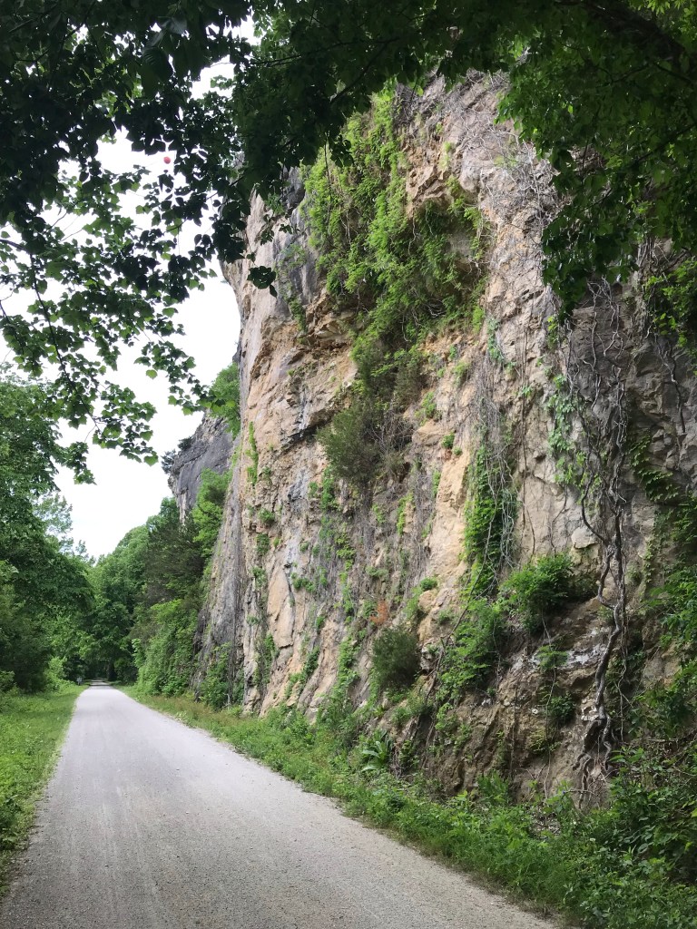
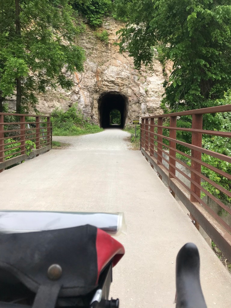
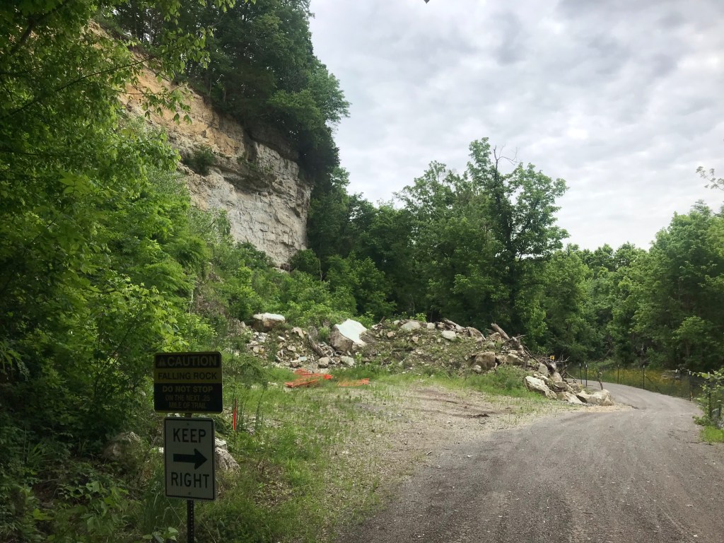
Yesterday was the hardest ride I’ve done in years. It was only 32 miles. Today’s 80 miles were far easier. It’s all about the wind.

I woke up super early again. It was thundering outside. A line of nasty storms passed mostly north of El Dorado.

After a woefully inadequate motel breakfast, I hit the road for Newton about 38 miles to the north. I was wearing my rain jacket and pants to ward off the sprinkles and to keep me warm.

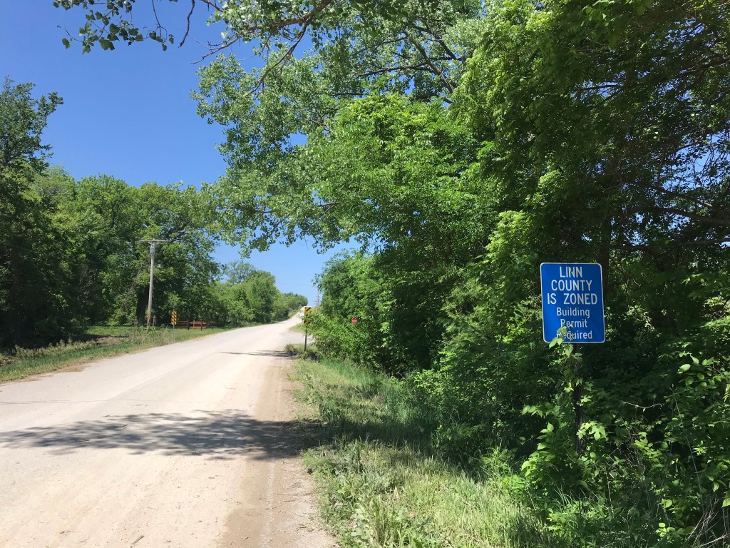
I used the Apple map app to guide me. Within a mile I found myself on dirt roads again! After three slow, bumpy miles, I arrived at a highway. I turned off the app then reactivated it in “car” mode. It gave me simple directions with two turns to Newton, all paved.

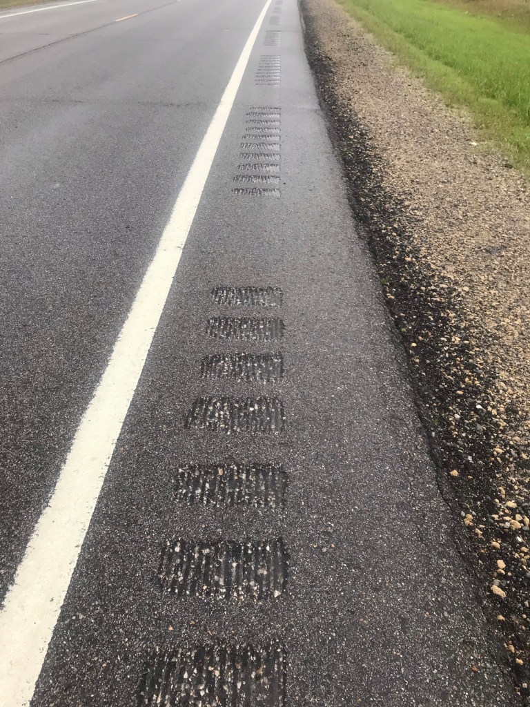
The first highway was a two-lane, 60 mph road with a rumble strip on the side. There was about two feet of pavement to the right of the strip. After a mile of trying to ride this tightrope, I moved into the travel lane. I’d never do this without a mirror. My rear blinky was strobing. What little traffic there was gave me loads of room.

I passed a car parked on the side of the road. A half mile later I passed a young man walking.

“Did your car break down?”

“Yep”

“That sucks.”

“Yep.”

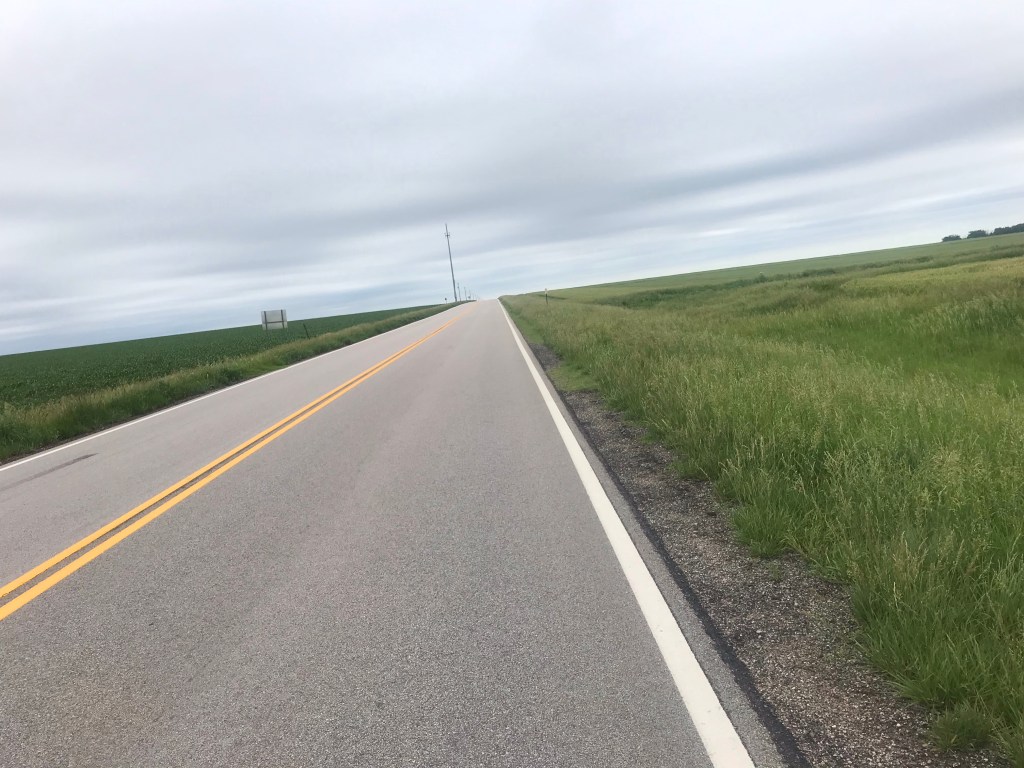
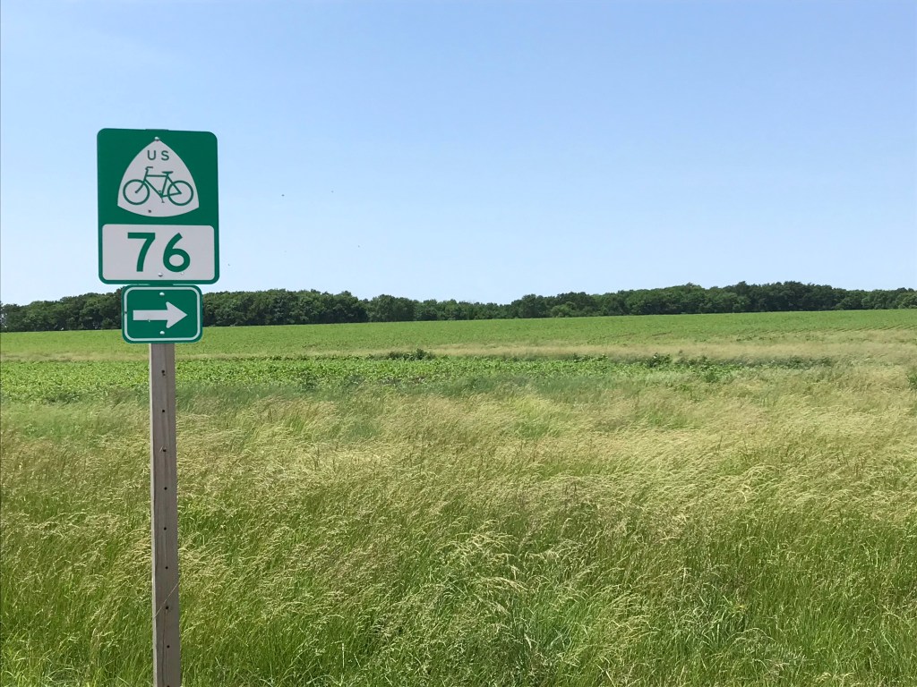
After 12 miles on this lovely road I turned right on a two-lane country road. Into a light breeze. No more soul sucking crosswinds!

After six miles I turned west toward Newton, once again on the TransAm route. I had about 16 miles to go with the wind at my back. I felt like Superman on a bike as the wind pushed me along. I was going 15 – 20 mph with little effort.

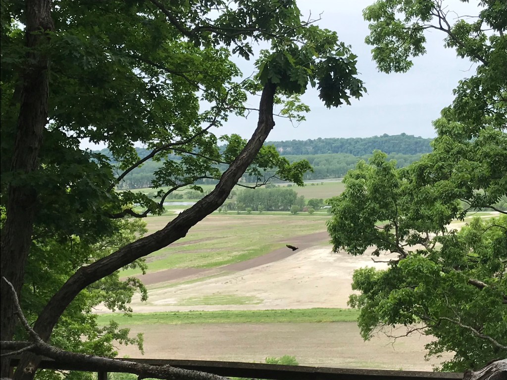
The farther I went the more standing water I saw in the fields. Drainage ditches on the side of the road were filled with rushing water. It really poured in this area last night. I dodged two enormous green bull frogs hanging out on the road.

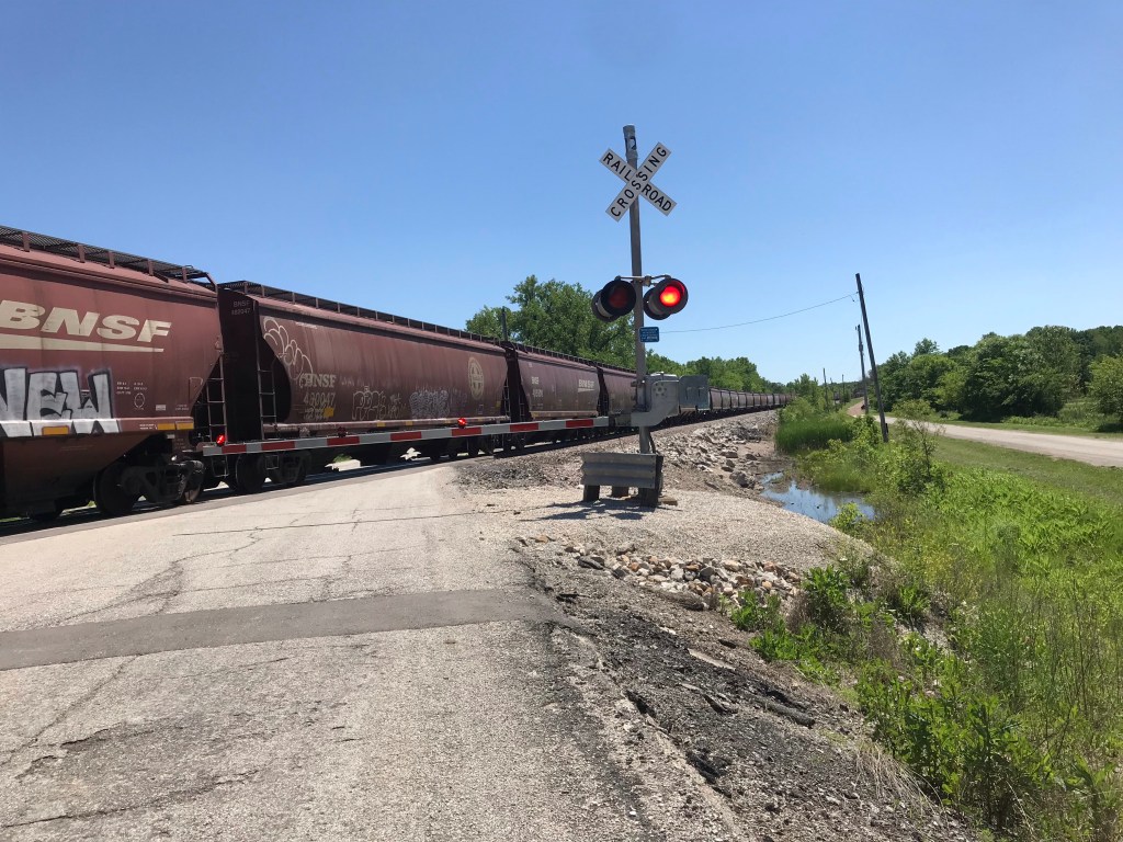
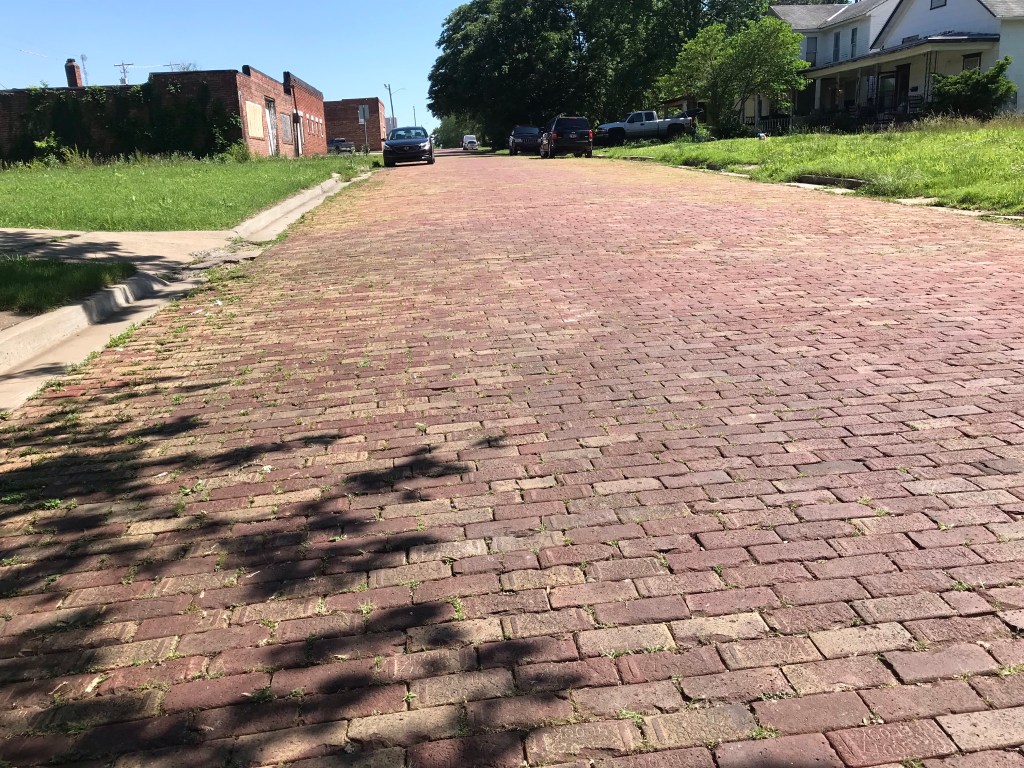
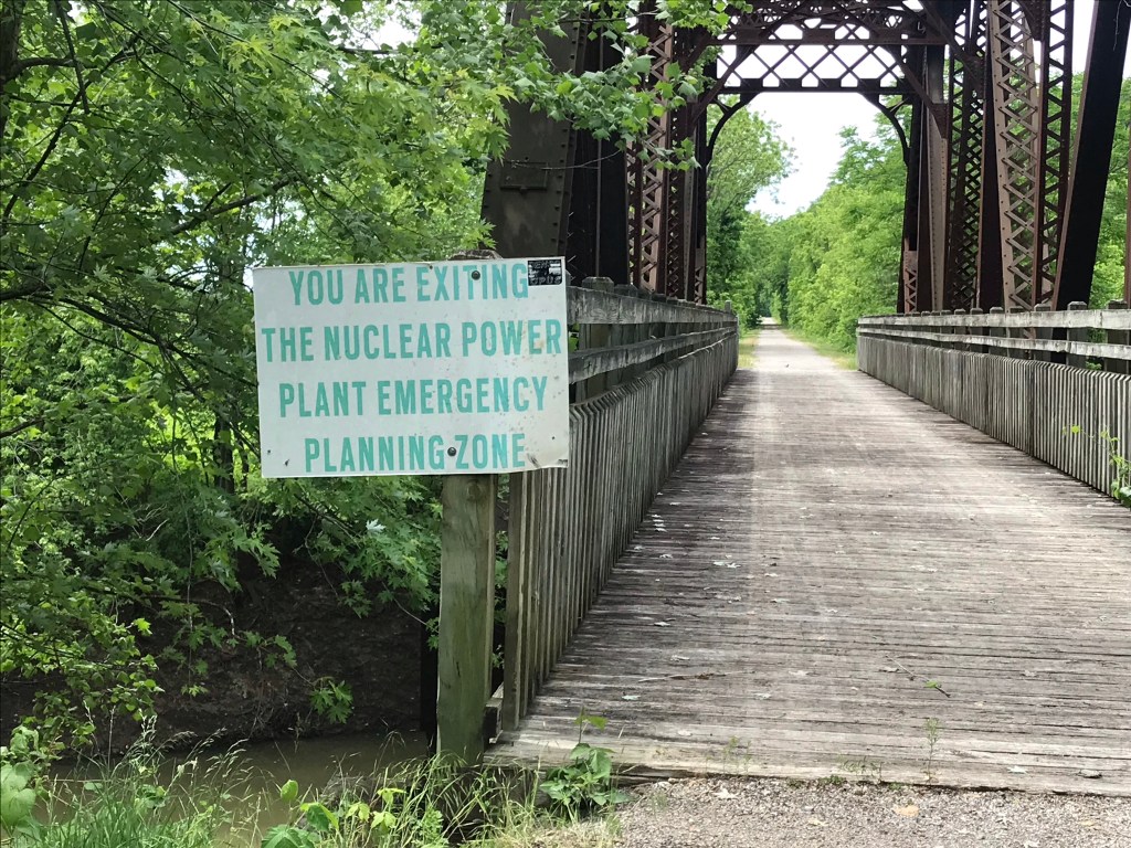
Arriving in Newton, I passed closed motels and businesses. Traditional small town America is hurting. I also passed the old Newton train station. It was a city block long with arches, made of Kansas brick.

I found Main Street and stopped at a Mexican cafe for breakfast at around noon. I considered my options for the rest of the day: (1) Stay in a motel in Newton. (2) Continue northwest ten miles on the TransAm to Hesston and get a room there, or (3) Ride 31 miles due west to Hutchinson where there would be free lodging and a bike shop.

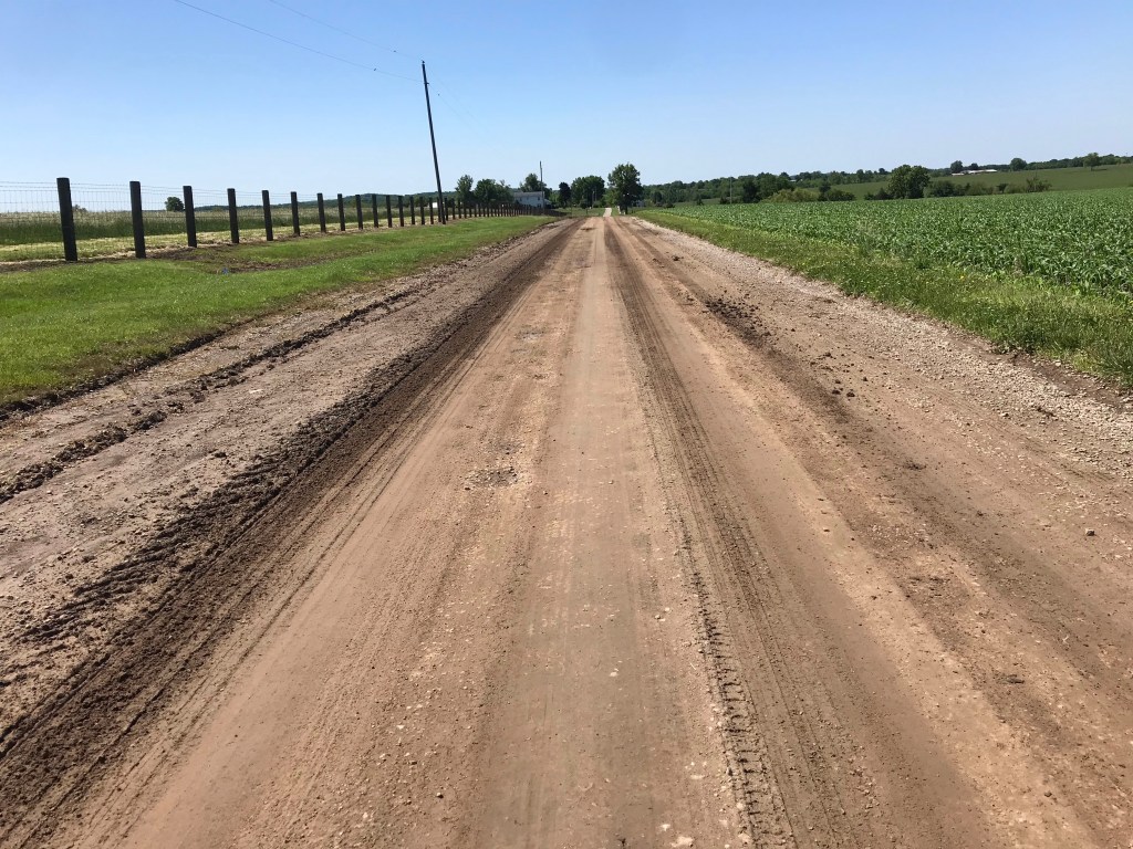
Google indicated that the back road to Hutchinson was paved. And I would have a tailwind. Despite the mileage it was a no brainer to go to Hutchinson. After 12 flat miles the pavement ended and the road turned to dirt. For asphalt I could go six miles north to the TransAm (which would add 12 miles to the day) or ride south a mile or two to US 50, a major highway.

I took a chance that 50 would be rideable. Thankfully it was. I had at least 8 feet of pavement to the right of a rumble strip all the way to Hutchinson. With the wind at my back, I boogied.

In Hutchinson I tried both the Google and Apple map apps. They gave different directions. I followed Google. As I did both apps were barking directions in my ear. I shut off Apple and regretted it. Google seemed to have trouble figuring out where I was. I had a nice tour of the poor side of town including riding by a penitentiary.

I finally got straightened out and found the bike shop. I had been hearing a clicking sound from my left pedal or crank arm most of the day. I suspected that the noise was a bad ball bearing, caused by a lack of grease, perhaps blown out of the bottom bracket by torrential rain and winds we drove through on the way to St. Charles.

The bike shop mechanic told me to drop off my bags at the town hostel, then come back to address the clicking sound.

Upon returning he looked over my bike and tightened this and that: the crank arm, the pedal, some spokes on the rear wheel, and and the seats post. This seemed to quiet the noise. Fingers crossed.

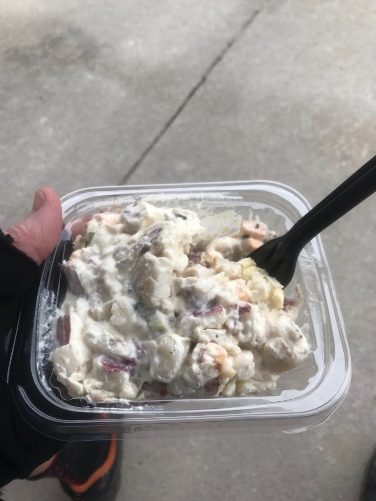
I took a spin to a grocery store to buy provisions. The hostel refrigerator had a case of soda but little else that seemed edible. I bought margarine, bread, jelly, bananas, a grapefruit (masquerading as an orange), a prepackaged salad, some M&Ms and a quart of milk.

My PB&J and salad were a feast that couldn’t be beat.

I need to decide whether to stay here for a day or ride 56 miles to Pratt in the rain. It will be hard to turn down a 16 mph tailwind.

Miles today: 80. Tour miles: 624

You try riding to the right of that rumble strip
The long lonesome highway, bound for the mountains and the plains
Lutherans are kind to bike tourists

Bike Tour 2022 – Eureka to El Dorado

Last night was full of worry. How was I going to ride 72 miles with no services in a brutal crosswind with gusts up to 50 mph? Add to the challenge my super hard 84-mile ride yesterday and the fact that the only breakfast place in town was closed for Memorial Day.

What’s a Rootchopper to do?

For a start I spotted cars pulling into the Pizza Hut across the highway as I was lubing my chain last night. I decided to buy a pizza and save some for breakfast. That solved one aspect of the problem. I had saved half a Dagwood sub from yesterday’s lunch at Lizard Lipps. (Basically it’s a small brick of meat and bread.) I could get 30 miles out of that bad boy, for sure.

But the crosswinds would be even stronger. Gusts of up to 50 mph were forecasted. About 58 miles of the TransAm route would have featured crosswinds.

I woke at 4 a.m. and came up with an alternative. Instead of following the TransAm route through Cassoday to Newton, I’d ride 31 miles straight west to El Dorado on a two-lane highway. If I was feeling my oats, I could continue on to Newton from El Dorado. This route would be a few miles shorter than the TransAm and give me a viable bailout point if things got nasty.

After downing some cold pizza, I headed for El Dorado. The first 19 miles coincided with the TransAm. I figured that if things were going well, I could scrap the El Dorado idea.

Things did not go well.

The first four miles weren’t too bad but the winds intensified as the ride wore on. Once, again, again, again, and again gusts blew me off the pavement onto the 8-foot wide unpaved shoulder. My right arm was getting worn out from trying to control the bike’s direction. Big vehicles zooming past at 60 mph either hammered my front with their wake or sucked me to the left. The latter was quite scary.

I had to be on my toes constantly. (Speaking of toes, my shoe repair last night seems to have worked. Dunno about the tent repair.)

I plodded along going slower and slower up the ridges in the Flint Hills. Every so often there would be a wind break but increasing elevation seemed to anger the wind gods. By mile 14 I’d been blown off the road 10 times. Then a truly powerful series of gusts knocked me off the road four times in a mile.

I gave up trying to spin in my lowest gear and started walking. When the winds calmed (to perhaps 20 mph) I started riding again.

At the town of Rosalia, where the TransAm turned north, I decided to continue west to El Dorado. I was pooped. What a shame to miss out on 20+ miles of tailwinds to Cassoday.

The highway dropped the unpaved shoulder but I still had about three feet of paved shoulder to work with. The big gusts had abated and there were continuous wind breaks for several miles. Yay! My speedometer rose into double digits . Yay!

But I was toast. I stopped every two miles to rest. I made it to El Dorado a little after noon about four hours after I left Eureka.

Having already had lunch for breakfast, it seemed logical to have diner breakfast for lunch. Bacon, eggs, hash browns, toast, coffee, and two gloriously tall glasses of ice water.

Kansas has the best bacon. Wide, crisp, and salty. So salty. Did I mention salty?

Once I got back on the bike, my legs decided that I was done for the day. I rode to one motel then another to find one with laundry machines. The Baymont Inn not only had them but they were operated by credit card.

Tomorrow the winds out of the south will continue until late morning then shift to the northeast. Storms are forecasted for much of the day. It’s about 40 miles to Newton. I’ll stop there unless the wind gods push me to Hutchison where there is free lodging for cyclists. Then I’ll let the weather forecast and motel availability decide if I’m going south to check out the Gyp Hills Scenic Highway and Dodge City.

I’m pretty much on schedule to get to Canon City by June 11. Plenty of time to take a day off unless something unforeseen happens.

Mileage today: 34. Tour mileage: 544.

Long overdue OCP, obligatory cow photo
There’s lots of flint in these hills. The further west, the more rocky the fields were.
Couldn’t resist buying this yesterday. Came in handy at laundry time.
Well played, Mule

Bike Tour 2022 – Erie to Eureka

Lord this got hard.

I had a decent dinner at a bar in town last night. Southwest chicken salad. It was huge. I ate it all. No contest. I also had a beer for the first time in weeks. The menu suggested “Ask about our craft beers”. So I did. All of their beers were mass market. I ended up with a Blue Moon because I needed the orange garnish in a big way.

Riding back to my tent in the park I saw a sign for Dinosaur Park. It was just a block from my tent. A little corner lot filled with dino skeletons made from spare parts. Genius!

I hit the hay before sunset but never really fell asleep. Tossing and turning all night. The wind finally calmed down for a few hours. At 4:30 I gave up trying to sleep and started to break camp. I was doing great with my tent, having pulled all the stakes out of the ground, when a big gust launched my tent 20 yards.

During the disassembly a part of the tent that pulls the side of tent out fell off. The tent is still usable but a bit claustrophobic. I’ve used this Big Agnes tent maybe ten times so this failure really pisses me off.

After a sumptuous breakfast of bean dip on tortillas, I headed out at dawn. Erie was still abed, it’s citizens tired from the raw excitement of Saturday night on the prairie.

My first two miles were aided by a huge tailwind out of the south. A great way to start the day. Then I turned west. The cross wind wasn’t so bad for 14 miles. A right turn had me sailing the winds for four miles into Chanute. In 2019 we couldn’t take this route because the entire area was flooded. I didn’t recognize anything.

In Chanute I stopped at WalMart for some glue to use on my tent and my shoes which are falling apart. (Duct tape has been getting a lot of use.)

The WalMart cashier suggested a diner in town. Good stuff but as I have come to realize nobody in the service industry in Kansas is in a hurry. Breakfast took over an hour.

Back on the road with the engine properly fueled I surfed the cross winds for 15 miles before turning south. Dang! The headwinds were brutal. I turned off the main road to check the offerings at the convenience store in Benedict. This little town is epically impoverished. The convenience store was scuzzy and, just like 2019, closed.

Back on the main highway I rode what is essentially a causeway between two planted fields. The fields are about 10 to 15 feet below the road. In 2019 the flood waters were nearly up to the edge of the road. The road has no shoulders, just an immediate drop off to the fields. Unlike 2019, traffic was light so it wasn’t as scary. I could have done without the crosswinds though.

As the day wore on the winds picked up. I passed many fields with cows grazing. (Heifers bring $1.79 per pound in Missouri. The things you overhear in diners!) After one such field, I saw two donkeys; one was braying loudly at me. It must have recognized The Mule.

A quick check of my phone told me that a diner in the next town was closing at 2. With tailwinds pushing me, I made it in plenty of time only to find the diner didn’t exist. I pushed on to my last hope for food three miles north.

As I rode several ATVs sped past me. When I reached the gas station convenience store all the ATVs were parked there. I went inside and the place was packed with the ATV people. As has been the case everywhere I go around here, none of them were masked. I wore a cloth mask, but I probably should have worn an N95 respirator. If I get Covid I’ll know where I contracted it.

The store has a deli. It took me a few minutes before I realized that this was Lizard Lipps cafe in which I had eaten in 2019. All TransAm riders get a little plastic lizard to zip tie to their bikes. I still have my 2019 lizard on my stem so I’m going to have to get creative with the placement of the new one. I also signed the guest book. I looked up my previous signing and there were the entries of our five man TransAm posse. (Two sped ahead after a couple of days.)

From Lizard Lipps to the next town was an 18-mile slog through strong crosswinds. I was on a highway with broad unpaved shoulders. Three times the gusts blew me clear off the pavement. Passing trucks with big wakes amplified the winds too.

Miles 78 to 80 were into a stifling headwind. I often used my granny gears just to maintain forward momentum.

I arrived in Eureka, passing many old businesses that were closed. A Pizza Hut (a bad one as I recall) with an outdated sign. Cherokee Chinese & American restaurant. La Taqueria B&B.

After over 80 miles of winds on a poor night’s sleep, there was no way I was going to camp in the town park.

A note on the terrain. There are very few steep hills but the road slopes upward gradually. Every so often there’s a rise, like a big step, then back to the gradual incline. The last 15 miles have been in the Flint Hills. No more brick streets.

Nothing is open. Tomorrow being Memorial Day means that many businesses are closed. I don’t know how I’m going to get to Newton 80 miles to the west with more crosswinds and unreliable resources. If I stay here I get to deal with the prospect of violent thunderstorms on Tuesday. I’ll figure it out in the morning.

Todays mileage: 84.5 Tour mileage: 505

Hmmm
Pretty cool
Dawn on the prairie
When in Rome
Amber waves of grain
The causeway without the flood waters
Five went riding – from 2019

Bike Tour 2022 – Fort Scott to Erie

My apologies up front for not taking pictures in Fort Scott. There are several mansions that are now B&Bs. They have Victorian features but are built of brick, of course.

After the hotel breakfast I made my way south in search of a new bike lock. I tried to give my business to two hardware stores but their wares were inadequate. I ended up in WalMart and succeeded in a scoring a lame cable lock and some thin lube, Finish Line 2 in 1, which supposedly allows you to skip the chain cleaning step.

I put the lube on the moving parts of my front detailer and on the cable where it passes through the underside of the bottom bracket, the lowest point on the frame. I also tweaked the barrel adjuster on the cable to tighten it. I had one delayed shift to my granny gear all day. I’ll call that a success.

I rode south on a highway out of town into a 10 to 20 mph headwind. I decided to stop looking at my speedometer and just focus on constant effort.

Most of the drivers gave me plenty of room but as the day wore on the drivers’ patience wore thin. Oddly the only cars that honked were approaching not following.

After 20 miles of head winds I turned west to enjoy 34 miles of sidewinds. Having four panniers on my bike made the turn west a dubious improvement. The panniers act as sails forcing me to leave plenty of space between me and the non-existent shoulder.

I was now on US Bike Route 76, which a bit further on became the TransAmerica Trail.

I stopped at a Lutheran church that shelters bike tourists. I used the restroom, refilled my water bottles, and made off with some munchies. (Yes, brother Joe, I took some crunchy Cheetos.)

On this two-lane, 60 mph road I noticed a turtle making its way across the eastbound lane. I saw a car coming eastbound so I turned across the road and waved at the car to move over so as to avoid the turtle. The car slowed and, with the passenger side window down, the driver cursed at me. It was a kid who was apparently challenged by seeing an obstruction in an arrow-straight road in broad daylight. I didn’t react. I think the turtle made his escape.

About a minute later I was back on the right hand side of the road when a minivan pulled up beside me. It’s passenger side window was open and I could hear the driver raging at me. Just completely out of control. I didn’t look at him because I wanted to avoid his car which was very close to my left side.

He yelled that his kid was 14 years old and could have crashed because of me.

How reassuring!

He may be a crappy driver but at least he’s got the road rage thing down just like dear old dad. Mom was in the shotgun seat giving me the business too. I didn’t react. As they drove off Mom asked me why I swerved. “To save a turtle’s life.”

I may be mistaken but I doubt this was a family of Buddhists.

They turned around in the next driveway and roared past me. I waved. All fingers.

These back to back road rage incidents were only the fourth and fifth of my tours. I could go on about how inane it was. As I rode on it occurred to me that I was lucky they didn’t pull an Easy Rider on me.

A few miles later I rolled into Walnut where the local police had given me permission to camp in the town park. I stopped in the town convenience store and had lunch. A bologna sandwich on wheat with potato chips flavored with Argentinian spices, washed down with a Gatorade. Fine dining.

The store clerk told me that the town of Erie had restaurants and a park with camping so I lit out 9 more miles. Erie is two miles south of my route which meant two more miles of headwinds. I found a camp site conveniently near an empty RV slip where I could use a water pump and recharge my phone. All the comforts of home!

Despite the winds I pitched the tent without much difficulty. After washing up I headed to Main Street for vittles and grog. (Craft beer here is Natty Boh. I resisted the urge to ask for a Gansett.)

Tomorrow promises more strong southerly winds. I’m heading north for at least seven miles so I’m feeling the joy already. I’m looking forward to seeing bike tourists along the road.

Todays mileage: 48. Tour mileage: 525.5

Hello, old friend.
Bless me father for I have spinned.
Cuisine de Walnut
All the Groc you can handle
I was getting sick of motels.

Bike Tour 2022 – Butler, Missouri to Fort Scott, Kansas

The Days Inn was pretty good but I knew it would disappoint eventually. The continental breakfast was on a par with the Hermann Motel’s. Stale cereal. A non functioning toaster. Old, bruised fruit.

I ate what I could. The smart move would have been to go to a diner for something substantial but did I do that? Noooo.

I went to a gas station and bought a couple of snacks figuring I’d get something more substantial during my ride. Didn’t I do this exact same screw up a couple of days ago?

I followed Google maps once again and it once again put me on unpaved roads, this time for at least 25 miles. Must not kill.

Western Missouri has plenty of challenging hills so, of course, my front derailer didn’t want to shift into my granny gear. I think it might be a lubrication issue. Failing that it could just be cable stretching. I’ll deal with it soon.

I’m in cow and horsey country. Also saw a few goats and chickens. And was chased by some dogs.

I crossed into Kansas without the coveted Welcome sign. I wasn’t complaining though since the road went from dirt to asphalt.

This area has a large Amish population. I saw a teenage boy in suspenders wearing a straw hat riding a horse. A couple – older man with long white beard, younger woman wearing a bonnet – in the town of Prescott said hello. I asked a teenage girl for directions to food and she sent me to the gas station near the highway.

I finally tried Hunt Brothers Pizza, a ubiquitous offering in gas station food stores throughout the Midwest. I can confirm that it is edible. I followed the pizza with an ice cream sandwich.

The best part about my gas station experience is that it got me away from Google’s route. I road 1/4 mile west, turned left onto an old paved highway and rode rollers all the way to Fort Scott. Along the way I met a northbound cycle tourist who was heading to North Dakota then somehow to California. We chatted for a bit. I bragged about The Mule’s mileage and age, purchased in 1991. He counters with the fact that his Trek was a 1982 model. Bikes last a long time!

Just before Fort Scott, I saw a big private campground with oddly only one RV. I kept riding until I found the police station. They cleared me to camp in the town park. After climbing yet another hill I found the park. Unlike the rest of the park, the tent camping area hadn’t been mowed. There was a big (two car loads) family with noisy bratty kids in the tent camping area.

I checked out the RV area and it had barking dogs and no electricity for my gadgets. I backtracked into town and stumbled across an old hotel in the heart of the old downtown.

The Courtland was built on 1905 when the streets were still unpaved. It reminds me a lot of the Hotel Nevada in Ely where I stayed on my 2019 tour.

This city was once a railroad and brick-making town. It sent thousands and thousands of train car loads of bricks to the rest of the country every week. Even the streets are brick!

Before checking in I locked my bike outside. Afterwards I couldn’t get the lock, an Ottolock, to open. Frank, the hotel manager, eventually freed The Mule with a hacksaw.

Had I stayed at the campground, I’d have been stuck with an immobile bike. So the decision to get a room worked out well.

The hotel is walking distance to several restaurants. I settled on broasted chicken at the Nu Diner. Broasted chicken used to be the big draw at Whitey’s bar in Arlington, Virginia so I had to try it. Gut bomb!

I followed it up with a large chocolate milk shake. A food coma is about to over take me.

Todays mileage: 57. Tour mileage: 377.5.

Blue skies, green fields, dirt roads
Not a bad day for a ride
Did I say “dirt”? I meant “mud”.
Welcome to Kansas. Pavement ahead.
Hard to do a cross country bike tour without a train delay
Brick streets in Fort Scott
Flower in the park across the street

Bike Tour 2022 – Windsor to Butler

I fell asleep way too early last night. I awoke at 3:30 and immediately began obsessing about my options for today. (1) Stay in Windsor. (2) Ride 20 miles to Clinton at the end of the Katy Trail. (3) Ride to Nevada or Butler, towns well beyond Clinton. (I checked Warmshowers but the only host was away. He only offered tent camping anyway.)

I tried to sleep again but gave up at 5:45. I rode to the town diner for breakfast. Eggs, bacon, toast, hash browns, coffee. All of it hit the spot. Maybe the best diner breakfast I’ve had in a long time.

I texted Kim who rented me the cabin. (Her business is called Kim’s Cabins for some inexplicable reason.) Her cabins were already booked for the long weekend. She suggested some other places in town.

I checked the weather report. It seemed to change every hour. What was once supposed to be constant rain beginning at 7 am was now pushed back to late morning. I decided to make a run for Clinton.

It was in the low 50s so I put on 2 shirts and my sun sleeves under my rain jacket. I wore rain pants. I tied plastic shopping bags to my feet to keep them dry. (My shoes were already wet from yesterday’s soaking.)

I lit out on Highway 52. No more Katy Trail grit for me or The Mule. I rode a mile before realizing I had left an article of clothing hanging from a hook on the back of the bathroom door. I texted Kim and she met me at the cabin to let me in.

Before I left she took a picture of me for her website. I hope I don’t scare any customers away.

To be honest, yesterday’s ride was so hard that I thought I might not be up to much more riding. once I got rolling today, I flew. Smooth pavement is a wonderful thing. Of course, it started to sprinkle then poured on and off. I was toasty in my layers and just amazed at how little effort it took to go 12 – 15 mph.

The highway was a two-lane, 55 mph road with rumble strips in the edges and down the center. I had to ride in the lane. My experience with rumble strips on the Upper Peninsula of Michigan came in handy. I checked my mirror constantly but I could hear cars and trucks approaching from behind with a minute to spare.

I had my rear blinkie going in strobe mode. Luckily no drivers had seizures from the flashing. Drivers, in fact, were extraordinarily cautious when passing me. I waved thanks whenever I could. When they’d move to the left to overtake me I could hear their tires hitting the center rumble strip.

I reached Clinton in well under two hours. Soaked but stoked, I checked the forecast and it had moderated with regard to rain so I called a hotel in Butler and reserved a room.

I glanced at a map on my phone and decided to wing it leaving town. In three miles I realized I was off course and made a correction. With the Google’s guidance I lit out westward. After 7 miles I followed the instructions to take side roads. Apparently Google doesn’t much care if you like unpaved roads or gravel roads. I put up with this annoyance for about four miles, then reversed course to the main highway.

The highway was all but deserted. I rolled along happily but more than a little miffed that my easy day was now going to be a long one.

The Google described the roads around here as “mostly flat”. From what I can tell,this means they are flat between the hills. Each mile seemed to have a climb. And a descent. This would be great on a road bike but not on a touring bike carrying 40 pounds of gear.

With 25 miles to go I left the Google route. Left on K then right on H. That’s all I needed to know. I lucked out that both roads were paved.

I turned on H with 18 miles to go. I counted down each mile, my way of enduring that last bit of riding before I bonk.

After many big rollers, and the approving looks of a few hundred cows, I made it to Butler. I was treated to one last soaking in the last few miles before town.

Possums must be incredibly fertile because nearly every road kill I saw today was a possum. I knew they were quite dead because they were being torn apart by vultures. Eww.

Today’s ride also broke a rule of mine: never stay at a Days Inn. I’ve had two wretched experiences with this chain but today I had no choice. As it turns out, the place is fine except for the fact that they have no elevator. Carrying The Mule (unloaded) up a flight of stairs did not make my back happy.

Riding west to Butler moved me away from the Ozarks, which I imagine will be filed with beer loving drivers over the coming holiday weekend.

I didn’t take any pictures on the road today. Cold rain and unintended side trips put the kebosh on that. Once I got to Butler I saw a sign. Home of the writer of the worst book I’ve ever read, Stranger in a Strange Land.

I don’t grok his writing

Tomorrow’s weather looks great, I would like to make it to the TransAm route in Kansas but it may be a bit too far. I’ll play it by ear. The ensuing three days are expected to feature very strong winds out of the south.

Today’s mileage: 76.5. Tour mileage: 320.5

Bike Tour 2022 – Boonville to Windsor

Last night I ate everything. A sub sammich, a huge bag of chips, and two bottles of Gatorade. Burp.

Breakfast was the usual motel fare. Biscuits (no gravy), hash browns, scrambled eggs, OJ, coffee, a banana, and some Raisin Bran. I took two apples for the road.

I hit the road at 6:30 in the hope of stealing the march on a forecasted 2 pm rain shower.

I rode about three miles on roads to get back to the trail. The trail had left the Missouri River valley and was now climbing ever so gradually through rock cuts and farmer’s fields. This is more like the rail trails I’m used to. The trail sits between parallel rows of trees. As a result you can’t see much of anything.

I could hear plenty of birds whose songs were unfamiliar. From time to time I’d hear a lone cow mooing a yawn. A couple of roosters made their presence known. I came upon a big snapping turtle who seemed completely disinterested in The Mule and me.

Not in a big hurry. Maybe laying eggs.

I later spotted a box turtle crossing a road at an intersection with the trail. I left him alone.

The general plan was to ride 36 miles to Sedalia where I’d consider riding further to Windsor or even Clinton. The trail surface was better than yesterday but the gradual incline provided a false flat. Your eyes tell you the trail is level but you can’t seem to attain a decent speed. It wears you down mentally.

I talked to the people from the Chamber of Commerce who worked in the restored train station at the trailhead. They told me about places to eat and mentioned the Hotel Bothwell as being popular with trail users. I rode a few blocks to check it out. They discount rooms by 20 percent for trail users.

It was a old hotel, the kind you might see in film from the 40s or 50s. I thought about booking a room but I still had three hours before the rain would arrive.

I decided to ride 21 miles to Windsor. The Chamber folks said that Kim’s Cabins in Windsor is popular with cyclists . I called the number and arranged for a cabin.

I bought a sandwich and some potato salad from the deli at the town market. I ate the sandwich as I rolled toward Windsor on the trail.

The trail surface seemed much worse. About a half inch of sand had been poured on the trail. It made for really laborious pedaling. At about the halfway point I ate the potato salad. I stole this idea from Felkerino, a randonneuring friend. It’s a food he eats when his energy is flagging after 200 or 300 miles. (I can’t even!)

It worked but the stop cost me time. With four miles to go the rain arrived. I actually welcomed the change. Alas, The Mule did not agree. The water mixed with the sand and limestone grit on the trail got into my cables making the flat trail feel like a mountain climb.

After an unintended tour of Windsor town, I arrived at the cabins where Kim greeted me. She had a hose set up that I used to gently wash off The Mule and myself. I had trail grit stuck to my legs almost to my knees.

After washing all the mess off it was obvious that the grit had gotten into my brakes – the cables, the brake mechanism and the pads. This same thing ruined a 2003 tour of mine in the GAP Trail in Pennsylvania. The solution is to loosen the cables and wipe the grit off them. A job for tomorrow.

As for tomorrow more rain is forecast for the entire day. Assuming I can get my brakes working properly, I may take the highway to Clinton where the Katy Trail ends. It’s only 20 miles. Then I need to decide whether to continue on 35 miles to Nevada. Another option is to try to set up a Warmshowers visit in Deepwater about 3 miles from Clinton.

Sedalia Depot
Magic Rando Food
It wasn’t my imagination. I was going up after all.
Home for the Night

Today’s mileage: 62. Total tour mileage: 244

Bike Tour 2022 – Jefferson City to Boonville

Yesterday’s decision to stop 10 miles short of my plan proved to be a good one. The hotel in Jefferson City was clean and quiet. I had to walk a half mile for dinner, a local pizza chain called Imo’s. To be honest I’d have eaten a shoe with ketchup on it so the fact that the pizza and Caesar salad was meh didn’t much matter.

The hotel breakfast was decent. Biscuits and gravy, Cheerios, orange juice, and coffee. Oink. I took two apples for the road and headed out at 8.

The chicane down from the Missouri River bridge was a bit disorienting first thing in the morning.

M. C. Escher phone home

Once on the trail I encountered a much better riding surface. My legs were fresh and I found myself cruising along at 11 mph. Bicycling is much nicer when you’re not bonking. After ten miles I came upon the town I planned on staying in last night. It would have been a good place to camp.

If I camped, however, I’d have had peanut butter on tortillas for dinner, with some salmonella on the side. My Jif had been recalled. (I tossed the jar in the trash in the hotel.)

As I rode along I kept finding that my information about trail services was inconsistently inaccurate. There were places to camp that I didn’t have on my guide maps and a restaurant next to the trail that wasn’t on them either. Of course, it wasn’t opened when I rode by.

The morning animal entertainment was bunnies and squirrels. The squirrels here have a faint reddish underbelly, not unlike foxes. An armadillo shell replaced yesterday’s possum carcass.

I munched as I rode. Both apples bit the dust.

The scenery had plenty of variety. Low land farms, the Missouri, and impressive bluffs. I passed a place called Boathenge, just a line of canoes stuck vertically into the ground. Sorry no picture.

I climbed Eagle Bluff to check out the eagles swooping over a vast plowed field. I’m spoiled by the eagles at home. The view wasn’t worth the steep climb. I used a small branch as a cane and didn’t have any back trouble.

I stopped in Rocheport for lunch. Burger and fries and coffee. Hit the spot. I filled one of my water bottles and hit the trail. Later I learned that I had neglected to bring the bottle with me. I suppose it’ll make an odd tip for the wait staff.

Back on the trail I could feel the humidity rising. The wind, a tailwind, started gusting. I made the turn to Boonville, once again crossing the Missouri. My tailwind had become a crosswind making the crossing a bit of an adventure.

The weather changes were a portent of much worse things to come. The next town on the trail is Pilot Grove. It has a single B&B. It’s about 11 miles away. The next town with services is Sedalia, another 12 miles away.

I checked the forecast and the radar on my phone. I would have been heading right into a massive storm with lots of scary red radar blotches. This being Missouri I decided that taking a risk on dancing with a tornado was unwise. I rode out Main Street to I-70 and checked into a motel. Again.

Tomorrow I’ll take things as they come. I can stay here another day or ride to Sedalia. We’ll see.

Mileage today: 56. Tour mileage: 182

Lowland Farm on the Left
Missouri River on the Left
I climbed up a nasty hill for this?
Lots of bluffs
More bluffs
A structure built into the bluff
Obligatory rail trail tunnel

Bike Tour 2022 – Hermann to Jefferson City on the Katy Trail

The Hermann Motel had a comfortable bed but little else. No worries. A couple of Advil PMs put me out for eight hours. I never even made it under the covers.

The motel’s continental breakfast was more like small-quano-island breakfast. I had two cups of coffee and two mini muffins. I took 2 bananas for the road.

Before hitting the road I had to deal with a soft front tire. From what I could tell, an old patch on the tube was failing. So I swapped out the tire for a new one. Changing tires in a motel room isn’t nearly the hassle as changing tires on a dusty trail.

I rode back to the trail over the muddy Missouri. The trail surface was noticeably worse that yesterday. There were signs of flooding from time to time. This created nasty washboard ruts that more than once tossed something off my bike. It was really annoying. So much so that I nearly left the trail for the adjacent two-lane highway. Until, that is, I noticed the 60 mph speed limit sign.

I passed a bakery on the way out of town. I figured, like yesterday, there’d be places to eat near the trail. I figured wrong.

I trudged along barely able to maintain 10 mph. My legs were worn out from yesterday’s overly long ride. Even a tailwind didn’t help much.

After about 20 miles I stopped to inhale a banana. It gave me a momentary lift. I was hoping to find food about 26 miles into the ride at the town of Mokane. Suffice it to say they need to change the name to Lesskane or Nokane because there was no food to be had.

I pressed on wary of eating more of my limited food supplies despite bonking pretty badly. The second banana was too much to resist however.

At a bike hostel in Tebbetts I saw a Coke machine. I didn’t have appropriate coins so I sat down and washed down an energy bar with water.

The snack raised my blood sugar and I found new life back on the trail. I was planning on riding to Hartsburg but the thought of not having food other than energy bars and peanut butter on tortillas for the next 12 hours put me off.

I decided to leave the trail and ride three miles to Jefferson City, the state capital. The route involved a crazy chicane to get up to the level of the highway over the Missouri River. I’ll try to remember to take a picture tomorrow.

Yesterday I saw horses, cows, and a dead possum on the trail. Today I saw a few squirrels, a chipmunk, a box turtle, and another dead possum. (I could tell they weren’t playing possum because they had guts sticking out of them. Then again, maybe they were method-actor possums. You never know.)

I limped into a Baymont Inn, a few blocks from the Capitol. The neighborhood is a mixture of worn out old brick homes, tire and battery shops, and highways. I was starving but, to my chagrin, there wasn’t much in the way of restaurants nearby. I walked to a pizza place and ordered a small pie and a small Caesar salad. I walked back to the hotel and promptly demolished it all. It is my intent to demolish the hotel’s breakfast bar before leaving. I’m on a mission from God.

I’m about 13 miles behind schedule but I don’t care. Better to recover than to grind myself into the ground. As my friend Wendy reminded me during my 2017 tour, “You’re retired. You don’t have a schedule anymore.”

So we’ll just take it as it goes tomorrow. Rain is forecast for the next few days. Are we having fun yet?

Today’s mileage: 50. Tour mileage: 126.

Sign in Rhineland. Zoom in to see the red warning. I’ve got enough problems without radiation poisoning, thank you.
Kinda hard to get lost
You know when you see those Falling Rock zone signs on the road? On the Katy Trail they’re not kidding
A bad picture of me in front of Standing Rock. It’s about 15 feet tall and has marks from numerous floods over the centuries. It doesn’t do much; just stands there.
What a relief
The State Capitol from the trail

Bike Tour 2022 – St. Charles Mo to Hermann, Mo on the Katy Trail

Today was supposed to be a 60-mile slow roll but things happened and it wasn’t.

To begin with the 60 miles did not include riding East on the Katy Trail for 3 1/2 miles to attend a day-after-the-wedding donut picnic breakfast in a park along the trail.

Of course I had already filled my tank at the hotel breakfast bar. It was well above average. As a result I had half a donut and some coffee at the picnic before heading out. The picnic delayed my departure to 11:30 which is much later than normal.

Before I left I had trouble filling my tires up to proper pressure. I decided to roll with it and it worked out fine. Along the way I found a bike repair station at a trailhead and used it’s floor pump to fix the issue.

The trail surface is unpaved but for most of the way you’d never know it. It’s as hard as pavement. Local trail users have an annoying habit of walking abreast on the trail, something I’ve never seen elsewhere. At one point a group of horses were hogging the trail. The riders moved to single file with military precision when I approached.

The trail is FLAT. The surrounding terrain varies between rivers (most often the Missouri), farm fields (occasionally flooded by recent heavy rains), wooded areas, and cuts through rock. I like that the variety keeps you from getting bored with the view.

I rode nonstop to Defiance where there was a trailside eatery. It was crowded and the bike parking didn’t work with my panniers so I forged ahead. I came to Augusta where I found a bike shop, ice cream, and a brewery. I chose the brewery and selected a “to go” box and a Coke.

The to go box had grapes, a clementine, carrots, celery, some cold cuts, cheeses, crackers, peanut butter, and hummus. Dang. I could barely put a dent in it at the brewery so I brought it along for dinner.

About 45 miles into the ride I arrived at Marthasville. Daniel Boone was buried near here so I followed the directions at the trailhead and backtracked 1 1/2 miles to see the gravesite. Along the way I rode the loaded Mule up one of the steepest hills I’ve ever ridden. I can’t believe I made it up without walking.

The Boone gravesite was a bit disappointing as it was adorned with a modern tombstone that look completely out of place.

Back into town I realized that my 60-mile route has somehow ballooned to over 70 miles! Good thing I started late.

I ground away into a light headwind. I decided not to stop to eat, choosing instead to make sure I finished before dark. I made it with ease.

The final town on the trail was McKittrick. Unfortunately all the services at this trailhead are located 2 miles north on the opposite side of the Missouri River in the city of Hermann.

The ride to Hermann was interesting. A wide smooth shoulder made for quick work. With the same effort I used to ride 12 to 13 mph on the trail, I was easily cruising at 15 mph. Once in town I searched for the town park that allows trail users to tent camp. It wasn’t much to my liking (nor was the declining temperature) so I opted for a divey motel instead. If they filmed Psycho at a Midwest hotel, Norman Bates would be from Gurjurat.

I am knackered. Tomorrow’s ride is supposed to be 55 miles. I sure hope it’s not more.

The trail goes through Rapa Nui, MO
I could not come close to eating all this.
The trail has many of these short trestles
Doesn’t look a bit like Fess Parker
Earlier I had to lift The Mule over a fallen tree. We could just squeeze under this one