I had every intention of doing a lot of hiking this spring and summer but, well, you know. So last weekend I kicked off my hiking year with a 10 miler in Rock Creek Park. This was way more than I should have done, but it was fun. I even got a little lost – which is something I am good at.
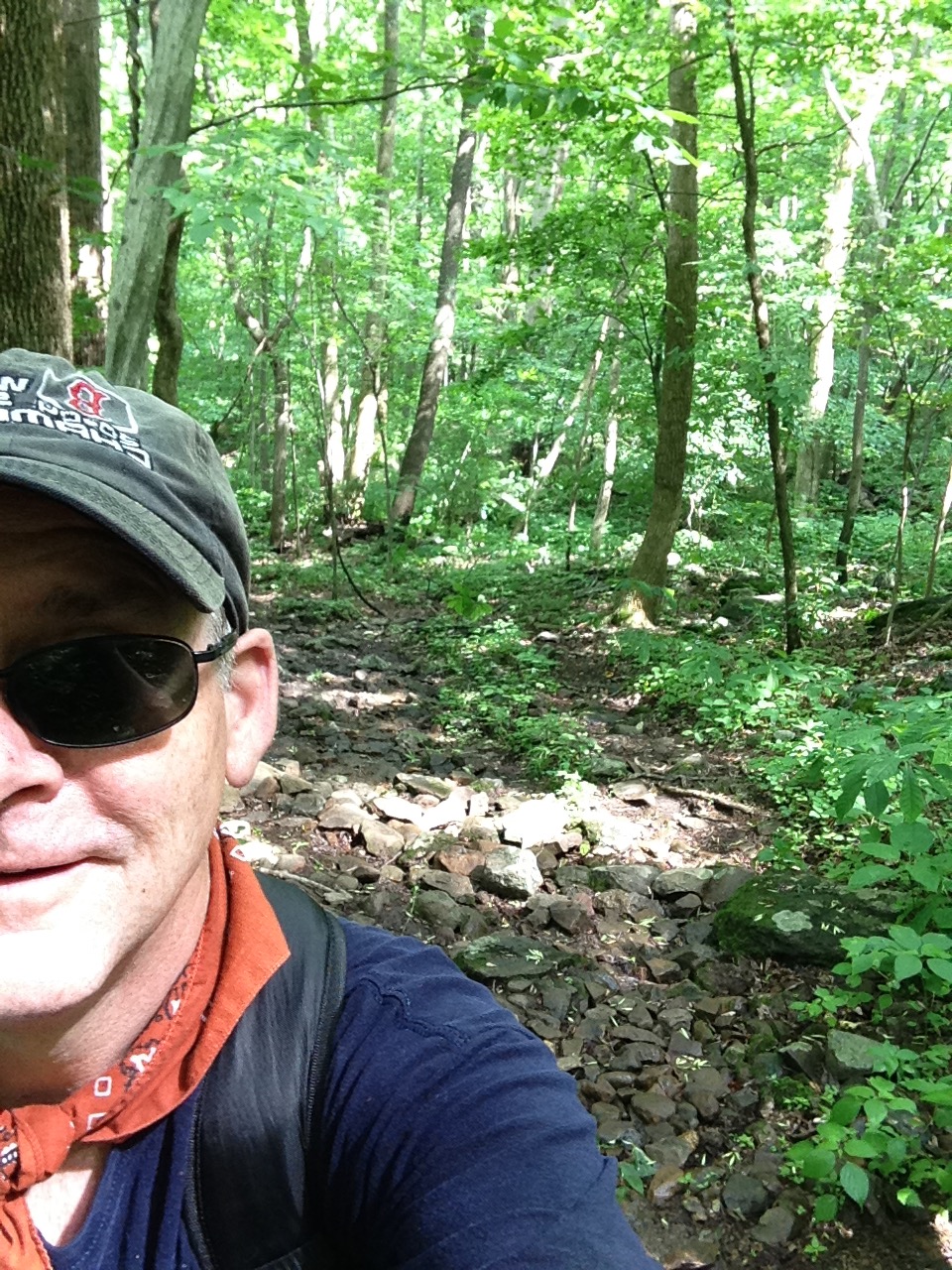
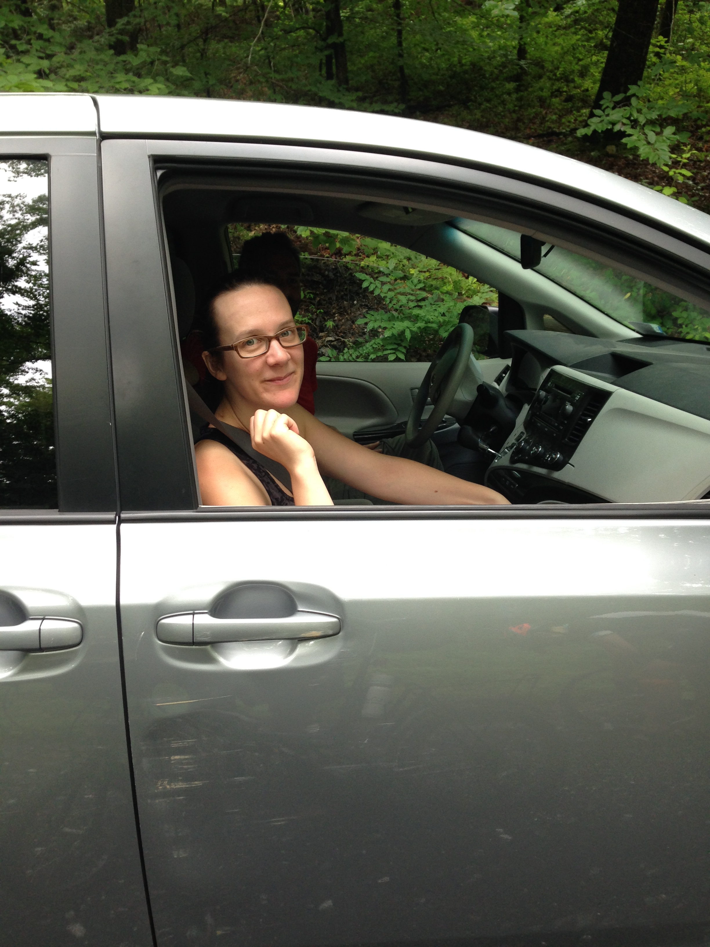
Today I woke up early and drove to the western facing side of the Mount Weather in the Blue Ridge Mountains. After some interesting driving on windy roads, one of which was unpaved, I found the unmarked trailhead. It’s just a point on the Appalachian Trail that crosses this dirt road. I was expecting a sign. Good thing the directions I got from Hikingupward.com were spot on or I’d still be driving around up there.
After smearing myself with sunscreen and big spray, I headed into the woods on the trail. Ahhhh. I was instantly transported back to my childhood when I spent hours and hours in the woods near my home in Albany. In my mind I was in the wilderness but I was never more than a mile from home. This, however, was mighty close to wilderness. It was silent. The canopy of leaves provided relief from the summer sun. All I could hear was the sound of my footfalls, the leaves blowing in the the breeze, the birds calling., and the sound of my breathing.

The first half mile was downhill, sometimes straight, sometimes meandering through chicanes. The footting was fine. There were plenty of rocks and tree roots to force me to focus on the ground in front of me. As I made my way, I suddenly realized this is the goddamned Appalachian Trail!
This section of the AT is called the Roller Coaster, which perfectly describes the terrain: down, up, and around. After a half mile, I came to a bridge across a stream at the base of the hill. On the other side the trail rose for 0.9 miles to a ridge. I realized: nobody’s here! Solitude.
This ended in a few minutes. I came upon a through hiker. He had a big pack on his back and looked like he’d been in the woods for a long time. A few minutes later a trail runner came bounding past. How the hell do you run on this terrain, in this heat and humidity, with all these rocks and roots on the trail? He was smiling. Go dude!
The trail reaches the ridge then drops through a saddle to another stream. This one had no bridge, just a mess of rocks to play hopscotch on.
After this stream I missed a turn (I never did find the blaze) and hiked up a fire road. I didn’t realize my mistake until the road came to a T with no blazes in either direction. I took the Robert Frost route until the foliage overtook the road. Oops. Turn around. Not wanting to hike back down the hill to the last blaze, I took the anti-Robert Frost route. The fire road intersected the trail and I was back in business.
Going up to another ridge. This one has splendid views of the Shenandoah Valley during the winter but for now I would have to be content with a sea of green. The trail instructions that I downloaded said to keep hiking until I came upon a “rocky are with views of the west.” Without the views to the west it was kind of hard to tell when to stop. So, of course, I didn’t.
Did I mention it was hot and humid?
I was soaked in sweat. I was wearing a knapsack containing six water bottles. I felt like and inverse Jacques Cousteau.
I kept going until the trail turned downhill. At this point I figured I must be past the turnaround point. So I turned around. I celebrated by eating some crackers and pop tarts as I headed back. If anyone had come along the conversation would have gone something like this.
“Hello”
“Mmrrmmff”
The way back seemed much faster at first. Of course, I was going downhill at first. I was looking down at the trail to make sure I didn’t turn an ankle on the rocks when I saw it. A tan colored snake right where my foot was about to go. I don’t know much about snakes but he didn’t have a rattle so I figured he was harmless. I picked it up and licked it.
Just kidding. I gave it a wide berth. I don’t like snakes.
On the way down the hill I saw where I had made my mistake. There was actually a sign saying AT North but no corresponding sign saying AT South.
I passed another overnight hiker, this time a woman in her late 20s or early 30s. (For all I know she could have been 40.) She looked like she had just started, but had been hiking for a least an hour. Tough girl.
I reached the bottom of a hill and headed back up. I could hear the sound of boys making a lot of noise. So much for solittude. I reached a ridge and there were the boys splayed out on a wide spot on the trail. They were junior high age, doing an overnight hike with a couple of dads keeping them out of trouble.
They quieted down as I worked my way through their supine bodies. Enjoy the bugs and dirt, kids.
I kept on keeping on with the sound of my feet for company. I pulled up when I saw a huge black snake. Dang. There must be a whole lot of snake food in these hills.
On my way back up the last 1/2 mile to the car, I passed a through hiker resting. His shirt was off, hanging on a tree branch. His stuff was spread all about. “Gotta take a break in this heat,” he said as I plodded past. No kidding, dude.
The last bit up to the car was the steepest part of the hike. This was not unlike my Sugarloaf hike.
Suddenly, I emerged from the woods and there were the cars. When I parked there was only one car, now there were eight.
I was totally soaked. And it felt wonderful.
After the Sugarloaf hike, I thought that hiking is better with other people. Not anymore. This solo hike was like a mental massage. My mind was completely relaxed as I took my pack off.
There will be more hikes. Many, many more. Some solo. Some with friends. Wanna go?
Here are some pix.


 slides into jpeg format. So far I haven’t found any with me and my childhood bikes. Apparently, I was a skeptical boy in those days. I did, however, have awesome jammies.
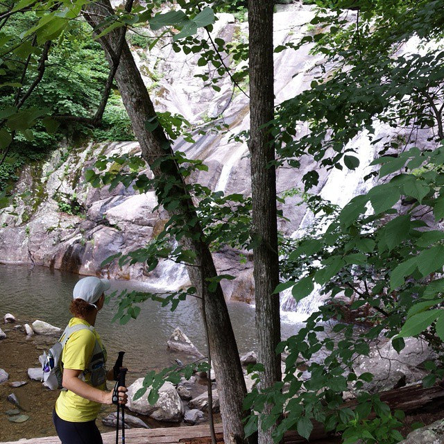

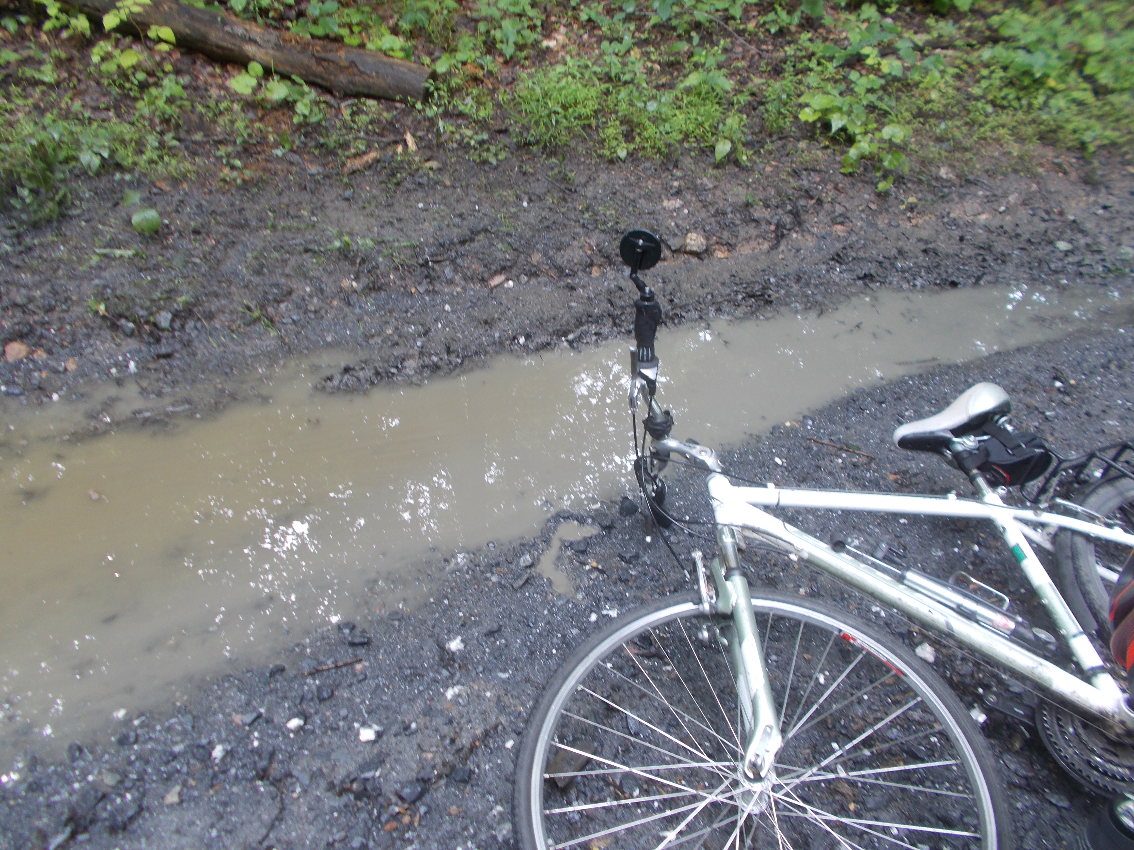
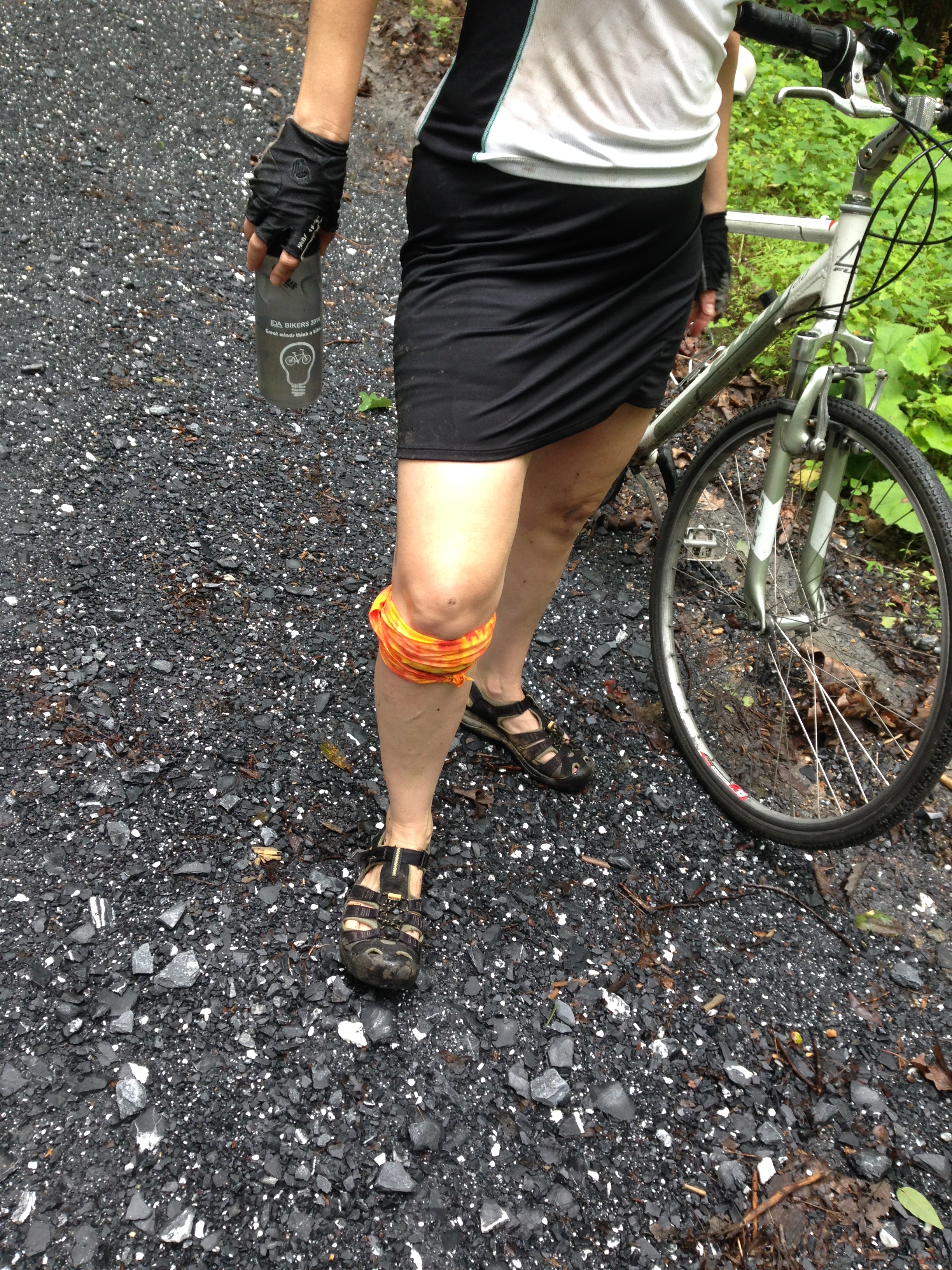
 occassionally had to climb some pretty steep short bits.
 where Four Mile Run is pinched by the underpass and the Four Mile Run trail. The creek had become a rage of white water. The waters began to rise over the artificial banks. Kelly found herself standing in eight inches of water.