I slept poorly last night until I realized the AC wasn’t turned on. I awoke shivering at 7:30 a.m.
The first order of business was to lay waste to the hotel breakfast bar. Mission accomplished.
I left late because my hosts for the night, 30 mikes away, won’t be available until 4 p.m. I stopped at a hardware store to pick up some Velcro strips. I’ll use them to attach my air horn and mace canister to me or my bike. I am preparing for the dogs of eastern Kentucky.
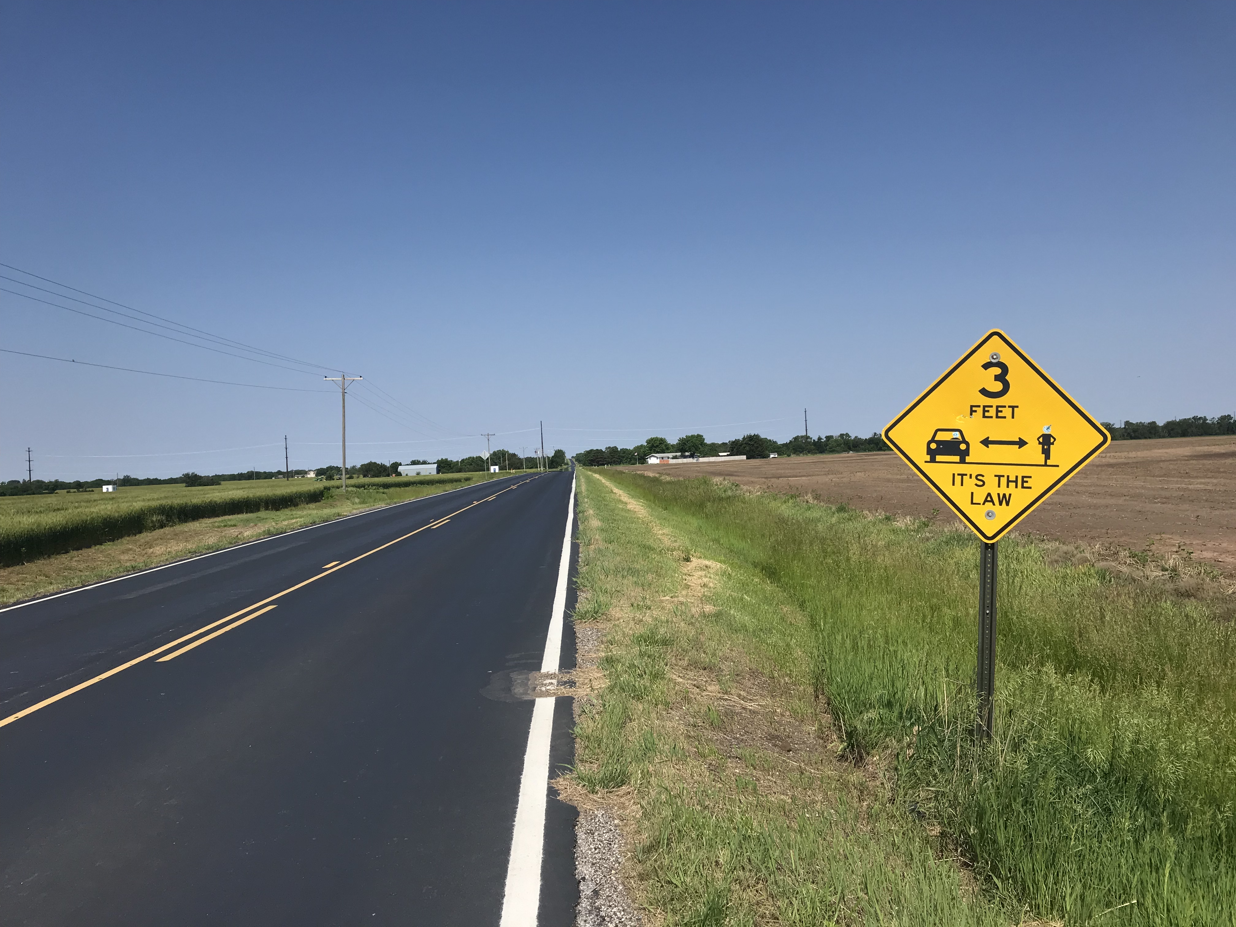
As for the dogs of Virginia, they seem to be on vacation.
The topography of this area is a series of ridge lines running southwest to northeast. I’m in between two ridges following country roads that rise up 100 or 200 feet then go down 100 to 200 feet. None of these climbs were particularly challenging but I walked two anyway because it’s really not much slower and much easier that grinding away at 3 mph.
Before Radford I saw the word SLOW painted on the road. Properly warned I zoomed down and around a steep hill.
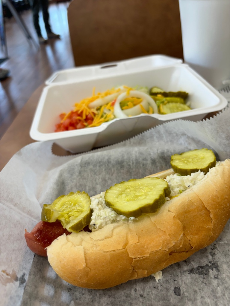
In Radford I stopped for lunch at a hot dog place. I ordered a large Diet Pepsi. It was more ludicrous than large. The food was fine.
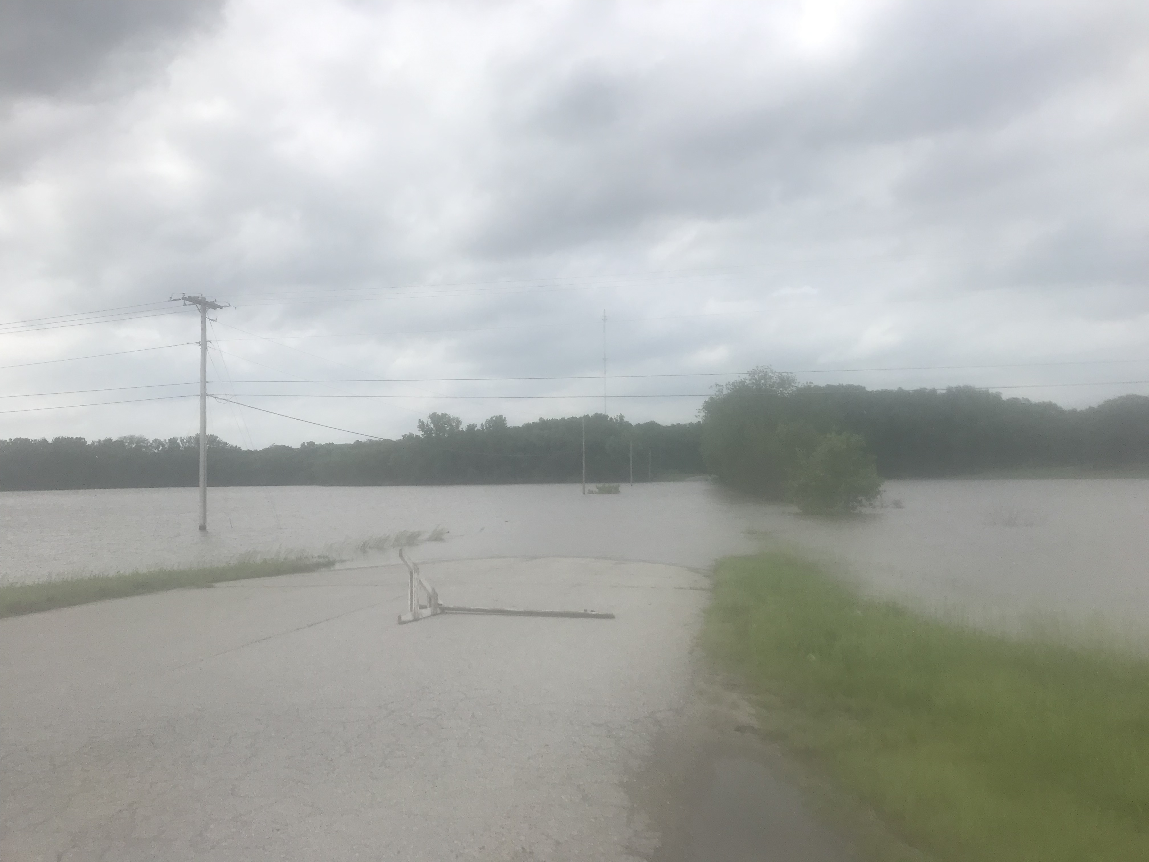
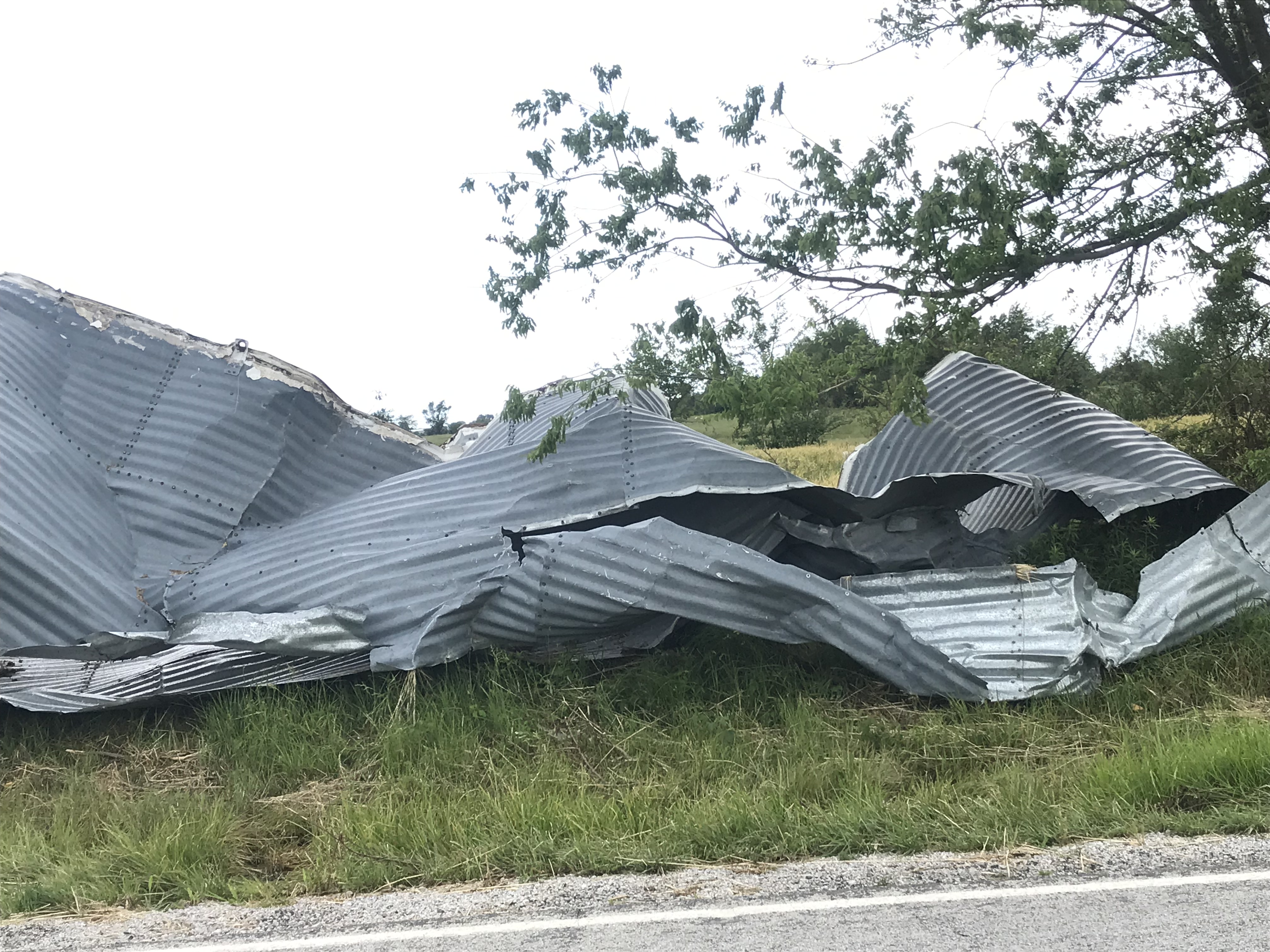
I crossed the New River and continued south with dark clouds coming over the ridge to my left. The temperature started to drop. Winds increased. I stopped and put on my rain jacket. Small leaves started falling and swirling across the two-lane road.
I looked up and saw a 100-foot tree swaying ominously. Limbs started falling onto the road. A few football-sized rocks were dislodged from the jagged rock face to my right.
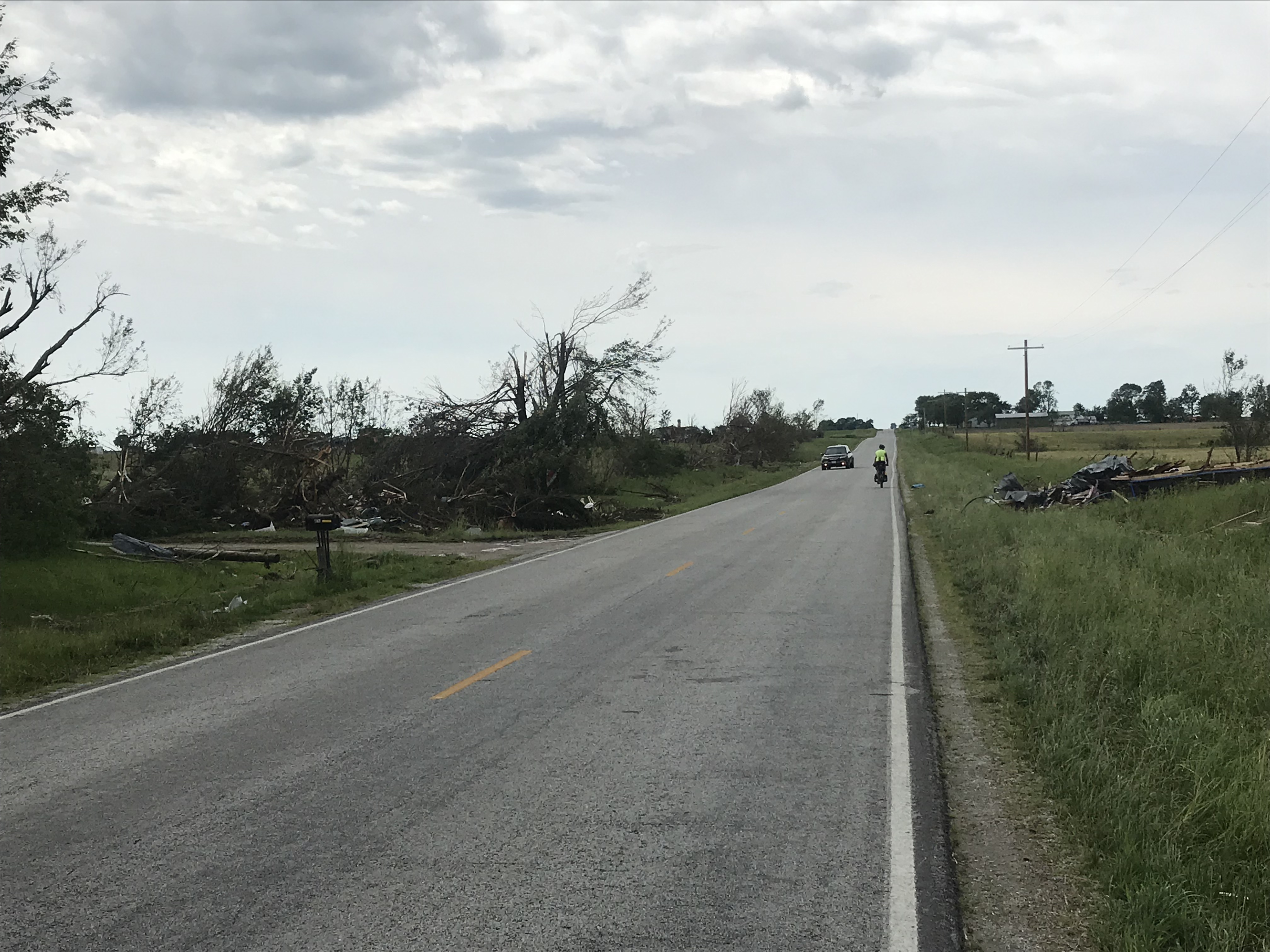
Time to get off the road. I came around a bend and saw a dozen or so big branches in the road. As luck would have it, the was a house with a covered porched to my left. I took shelter as the storm raged. In ten minutes the show was over and I was in my way.
I arrived at my Warmshowers hosts an hour early. They were here and ready to greet me.

I started the day at 2,000 feet and ended it at 2,200.
Dinner tonight is spaghetti and meatballs.
Tomorrow’s planned destination is a church bunkhouse in Troutdale, near the Appalachian Trail. The 60-mile ride involves quite a bit of climbing to about 3,000 feet.
Mikes today: 33.5
Tour miles: 580.5