Bike Tour 2022 – Windsor to Butler

I fell asleep way too early last night. I awoke at 3:30 and immediately began obsessing about my options for today. (1) Stay in Windsor. (2) Ride 20 miles to Clinton at the end of the Katy Trail. (3) Ride to Nevada or Butler, towns well beyond Clinton. (I checked Warmshowers but the only host was away. He only offered tent camping anyway.)

I tried to sleep again but gave up at 5:45. I rode to the town diner for breakfast. Eggs, bacon, toast, hash browns, coffee. All of it hit the spot. Maybe the best diner breakfast I’ve had in a long time.

I texted Kim who rented me the cabin. (Her business is called Kim’s Cabins for some inexplicable reason.) Her cabins were already booked for the long weekend. She suggested some other places in town.

I checked the weather report. It seemed to change every hour. What was once supposed to be constant rain beginning at 7 am was now pushed back to late morning. I decided to make a run for Clinton.

It was in the low 50s so I put on 2 shirts and my sun sleeves under my rain jacket. I wore rain pants. I tied plastic shopping bags to my feet to keep them dry. (My shoes were already wet from yesterday’s soaking.)

I lit out on Highway 52. No more Katy Trail grit for me or The Mule. I rode a mile before realizing I had left an article of clothing hanging from a hook on the back of the bathroom door. I texted Kim and she met me at the cabin to let me in.

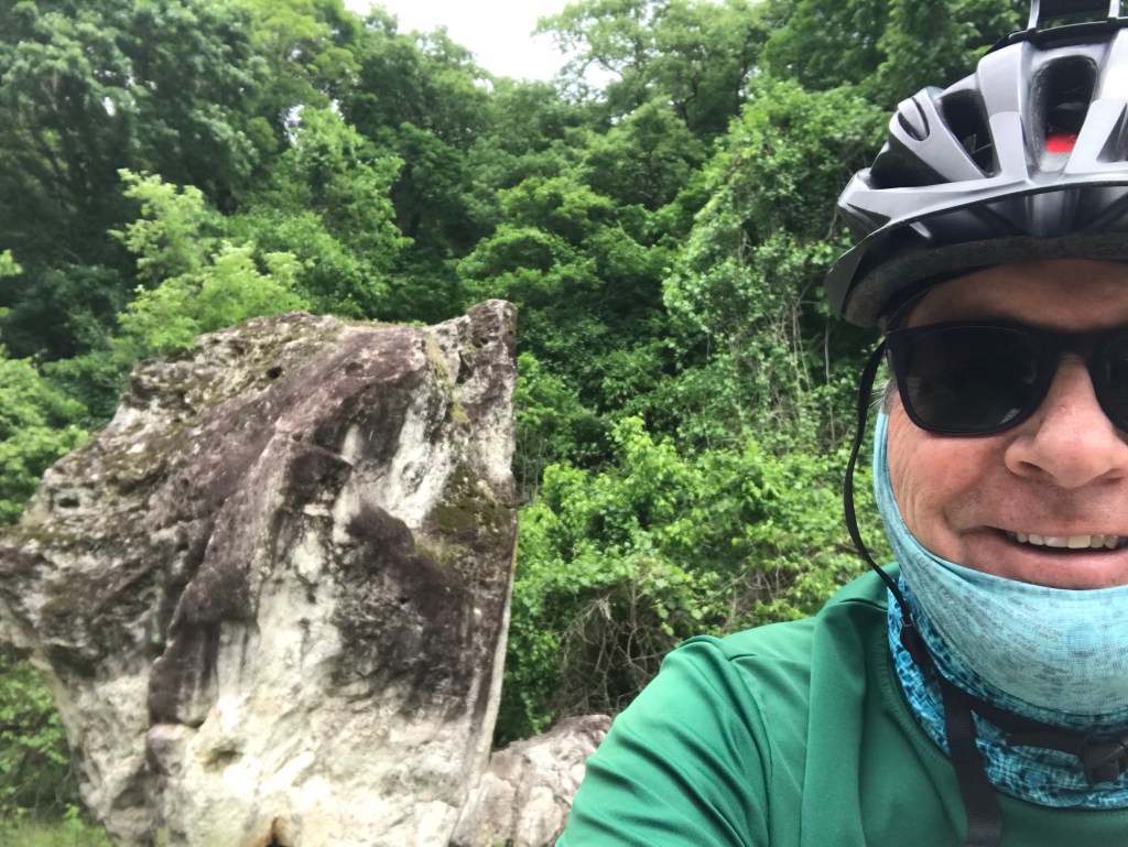
Before I left she took a picture of me for her website. I hope I don’t scare any customers away.

To be honest, yesterday’s ride was so hard that I thought I might not be up to much more riding. once I got rolling today, I flew. Smooth pavement is a wonderful thing. Of course, it started to sprinkle then poured on and off. I was toasty in my layers and just amazed at how little effort it took to go 12 – 15 mph.

The highway was a two-lane, 55 mph road with rumble strips in the edges and down the center. I had to ride in the lane. My experience with rumble strips on the Upper Peninsula of Michigan came in handy. I checked my mirror constantly but I could hear cars and trucks approaching from behind with a minute to spare.

I had my rear blinkie going in strobe mode. Luckily no drivers had seizures from the flashing. Drivers, in fact, were extraordinarily cautious when passing me. I waved thanks whenever I could. When they’d move to the left to overtake me I could hear their tires hitting the center rumble strip.

I reached Clinton in well under two hours. Soaked but stoked, I checked the forecast and it had moderated with regard to rain so I called a hotel in Butler and reserved a room.

I glanced at a map on my phone and decided to wing it leaving town. In three miles I realized I was off course and made a correction. With the Google’s guidance I lit out westward. After 7 miles I followed the instructions to take side roads. Apparently Google doesn’t much care if you like unpaved roads or gravel roads. I put up with this annoyance for about four miles, then reversed course to the main highway.

The highway was all but deserted. I rolled along happily but more than a little miffed that my easy day was now going to be a long one.

The Google described the roads around here as “mostly flat”. From what I can tell,this means they are flat between the hills. Each mile seemed to have a climb. And a descent. This would be great on a road bike but not on a touring bike carrying 40 pounds of gear.

With 25 miles to go I left the Google route. Left on K then right on H. That’s all I needed to know. I lucked out that both roads were paved.

I turned on H with 18 miles to go. I counted down each mile, my way of enduring that last bit of riding before I bonk.

After many big rollers, and the approving looks of a few hundred cows, I made it to Butler. I was treated to one last soaking in the last few miles before town.

Possums must be incredibly fertile because nearly every road kill I saw today was a possum. I knew they were quite dead because they were being torn apart by vultures. Eww.

Today’s ride also broke a rule of mine: never stay at a Days Inn. I’ve had two wretched experiences with this chain but today I had no choice. As it turns out, the place is fine except for the fact that they have no elevator. Carrying The Mule (unloaded) up a flight of stairs did not make my back happy.

Riding west to Butler moved me away from the Ozarks, which I imagine will be filed with beer loving drivers over the coming holiday weekend.

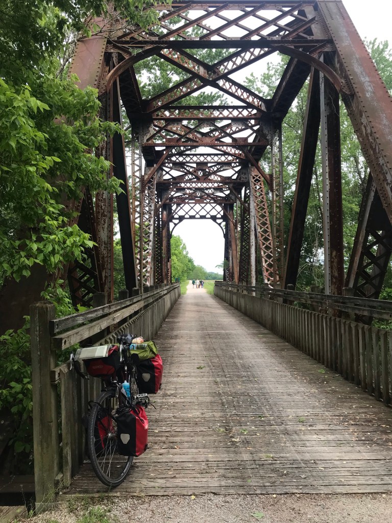
I didn’t take any pictures on the road today. Cold rain and unintended side trips put the kebosh on that. Once I got to Butler I saw a sign. Home of the writer of the worst book I’ve ever read, Stranger in a Strange Land.

I don’t grok his writing

Tomorrow’s weather looks great, I would like to make it to the TransAm route in Kansas but it may be a bit too far. I’ll play it by ear. The ensuing three days are expected to feature very strong winds out of the south.

Today’s mileage: 76.5. Tour mileage: 320.5

Bike Tour 2022 – Boonville to Windsor

Last night I ate everything. A sub sammich, a huge bag of chips, and two bottles of Gatorade. Burp.

Breakfast was the usual motel fare. Biscuits (no gravy), hash browns, scrambled eggs, OJ, coffee, a banana, and some Raisin Bran. I took two apples for the road.

I hit the road at 6:30 in the hope of stealing the march on a forecasted 2 pm rain shower.

I rode about three miles on roads to get back to the trail. The trail had left the Missouri River valley and was now climbing ever so gradually through rock cuts and farmer’s fields. This is more like the rail trails I’m used to. The trail sits between parallel rows of trees. As a result you can’t see much of anything.

I could hear plenty of birds whose songs were unfamiliar. From time to time I’d hear a lone cow mooing a yawn. A couple of roosters made their presence known. I came upon a big snapping turtle who seemed completely disinterested in The Mule and me.

Not in a big hurry. Maybe laying eggs.

I later spotted a box turtle crossing a road at an intersection with the trail. I left him alone.

The general plan was to ride 36 miles to Sedalia where I’d consider riding further to Windsor or even Clinton. The trail surface was better than yesterday but the gradual incline provided a false flat. Your eyes tell you the trail is level but you can’t seem to attain a decent speed. It wears you down mentally.

I talked to the people from the Chamber of Commerce who worked in the restored train station at the trailhead. They told me about places to eat and mentioned the Hotel Bothwell as being popular with trail users. I rode a few blocks to check it out. They discount rooms by 20 percent for trail users.

It was a old hotel, the kind you might see in film from the 40s or 50s. I thought about booking a room but I still had three hours before the rain would arrive.

I decided to ride 21 miles to Windsor. The Chamber folks said that Kim’s Cabins in Windsor is popular with cyclists . I called the number and arranged for a cabin.

I bought a sandwich and some potato salad from the deli at the town market. I ate the sandwich as I rolled toward Windsor on the trail.

The trail surface seemed much worse. About a half inch of sand had been poured on the trail. It made for really laborious pedaling. At about the halfway point I ate the potato salad. I stole this idea from Felkerino, a randonneuring friend. It’s a food he eats when his energy is flagging after 200 or 300 miles. (I can’t even!)

It worked but the stop cost me time. With four miles to go the rain arrived. I actually welcomed the change. Alas, The Mule did not agree. The water mixed with the sand and limestone grit on the trail got into my cables making the flat trail feel like a mountain climb.

After an unintended tour of Windsor town, I arrived at the cabins where Kim greeted me. She had a hose set up that I used to gently wash off The Mule and myself. I had trail grit stuck to my legs almost to my knees.

After washing all the mess off it was obvious that the grit had gotten into my brakes – the cables, the brake mechanism and the pads. This same thing ruined a 2003 tour of mine in the GAP Trail in Pennsylvania. The solution is to loosen the cables and wipe the grit off them. A job for tomorrow.

As for tomorrow more rain is forecast for the entire day. Assuming I can get my brakes working properly, I may take the highway to Clinton where the Katy Trail ends. It’s only 20 miles. Then I need to decide whether to continue on 35 miles to Nevada. Another option is to try to set up a Warmshowers visit in Deepwater about 3 miles from Clinton.

Sedalia Depot
Magic Rando Food
It wasn’t my imagination. I was going up after all.
Home for the Night

Today’s mileage: 62. Total tour mileage: 244

Bike Tour 2022 – Jefferson City to Boonville

Yesterday’s decision to stop 10 miles short of my plan proved to be a good one. The hotel in Jefferson City was clean and quiet. I had to walk a half mile for dinner, a local pizza chain called Imo’s. To be honest I’d have eaten a shoe with ketchup on it so the fact that the pizza and Caesar salad was meh didn’t much matter.

The hotel breakfast was decent. Biscuits and gravy, Cheerios, orange juice, and coffee. Oink. I took two apples for the road and headed out at 8.

The chicane down from the Missouri River bridge was a bit disorienting first thing in the morning.

M. C. Escher phone home

Once on the trail I encountered a much better riding surface. My legs were fresh and I found myself cruising along at 11 mph. Bicycling is much nicer when you’re not bonking. After ten miles I came upon the town I planned on staying in last night. It would have been a good place to camp.

If I camped, however, I’d have had peanut butter on tortillas for dinner, with some salmonella on the side. My Jif had been recalled. (I tossed the jar in the trash in the hotel.)

As I rode along I kept finding that my information about trail services was inconsistently inaccurate. There were places to camp that I didn’t have on my guide maps and a restaurant next to the trail that wasn’t on them either. Of course, it wasn’t opened when I rode by.

The morning animal entertainment was bunnies and squirrels. The squirrels here have a faint reddish underbelly, not unlike foxes. An armadillo shell replaced yesterday’s possum carcass.

I munched as I rode. Both apples bit the dust.

The scenery had plenty of variety. Low land farms, the Missouri, and impressive bluffs. I passed a place called Boathenge, just a line of canoes stuck vertically into the ground. Sorry no picture.

I climbed Eagle Bluff to check out the eagles swooping over a vast plowed field. I’m spoiled by the eagles at home. The view wasn’t worth the steep climb. I used a small branch as a cane and didn’t have any back trouble.

I stopped in Rocheport for lunch. Burger and fries and coffee. Hit the spot. I filled one of my water bottles and hit the trail. Later I learned that I had neglected to bring the bottle with me. I suppose it’ll make an odd tip for the wait staff.

Back on the trail I could feel the humidity rising. The wind, a tailwind, started gusting. I made the turn to Boonville, once again crossing the Missouri. My tailwind had become a crosswind making the crossing a bit of an adventure.

The weather changes were a portent of much worse things to come. The next town on the trail is Pilot Grove. It has a single B&B. It’s about 11 miles away. The next town with services is Sedalia, another 12 miles away.

I checked the forecast and the radar on my phone. I would have been heading right into a massive storm with lots of scary red radar blotches. This being Missouri I decided that taking a risk on dancing with a tornado was unwise. I rode out Main Street to I-70 and checked into a motel. Again.

Tomorrow I’ll take things as they come. I can stay here another day or ride to Sedalia. We’ll see.

Mileage today: 56. Tour mileage: 182

Lowland Farm on the Left
Missouri River on the Left
I climbed up a nasty hill for this?
Lots of bluffs
More bluffs
A structure built into the bluff
Obligatory rail trail tunnel

Bike Tour 2022 – Hermann to Jefferson City on the Katy Trail

The Hermann Motel had a comfortable bed but little else. No worries. A couple of Advil PMs put me out for eight hours. I never even made it under the covers.

The motel’s continental breakfast was more like small-quano-island breakfast. I had two cups of coffee and two mini muffins. I took 2 bananas for the road.

Before hitting the road I had to deal with a soft front tire. From what I could tell, an old patch on the tube was failing. So I swapped out the tire for a new one. Changing tires in a motel room isn’t nearly the hassle as changing tires on a dusty trail.

I rode back to the trail over the muddy Missouri. The trail surface was noticeably worse that yesterday. There were signs of flooding from time to time. This created nasty washboard ruts that more than once tossed something off my bike. It was really annoying. So much so that I nearly left the trail for the adjacent two-lane highway. Until, that is, I noticed the 60 mph speed limit sign.

I passed a bakery on the way out of town. I figured, like yesterday, there’d be places to eat near the trail. I figured wrong.

I trudged along barely able to maintain 10 mph. My legs were worn out from yesterday’s overly long ride. Even a tailwind didn’t help much.

After about 20 miles I stopped to inhale a banana. It gave me a momentary lift. I was hoping to find food about 26 miles into the ride at the town of Mokane. Suffice it to say they need to change the name to Lesskane or Nokane because there was no food to be had.

I pressed on wary of eating more of my limited food supplies despite bonking pretty badly. The second banana was too much to resist however.

At a bike hostel in Tebbetts I saw a Coke machine. I didn’t have appropriate coins so I sat down and washed down an energy bar with water.

The snack raised my blood sugar and I found new life back on the trail. I was planning on riding to Hartsburg but the thought of not having food other than energy bars and peanut butter on tortillas for the next 12 hours put me off.

I decided to leave the trail and ride three miles to Jefferson City, the state capital. The route involved a crazy chicane to get up to the level of the highway over the Missouri River. I’ll try to remember to take a picture tomorrow.

Yesterday I saw horses, cows, and a dead possum on the trail. Today I saw a few squirrels, a chipmunk, a box turtle, and another dead possum. (I could tell they weren’t playing possum because they had guts sticking out of them. Then again, maybe they were method-actor possums. You never know.)

I limped into a Baymont Inn, a few blocks from the Capitol. The neighborhood is a mixture of worn out old brick homes, tire and battery shops, and highways. I was starving but, to my chagrin, there wasn’t much in the way of restaurants nearby. I walked to a pizza place and ordered a small pie and a small Caesar salad. I walked back to the hotel and promptly demolished it all. It is my intent to demolish the hotel’s breakfast bar before leaving. I’m on a mission from God.

I’m about 13 miles behind schedule but I don’t care. Better to recover than to grind myself into the ground. As my friend Wendy reminded me during my 2017 tour, “You’re retired. You don’t have a schedule anymore.”

So we’ll just take it as it goes tomorrow. Rain is forecast for the next few days. Are we having fun yet?

Today’s mileage: 50. Tour mileage: 126.

Sign in Rhineland. Zoom in to see the red warning. I’ve got enough problems without radiation poisoning, thank you.
Kinda hard to get lost
You know when you see those Falling Rock zone signs on the road? On the Katy Trail they’re not kidding
A bad picture of me in front of Standing Rock. It’s about 15 feet tall and has marks from numerous floods over the centuries. It doesn’t do much; just stands there.
What a relief
The State Capitol from the trail

Bike Tour 2022 – St. Charles Mo to Hermann, Mo on the Katy Trail

Today was supposed to be a 60-mile slow roll but things happened and it wasn’t.

To begin with the 60 miles did not include riding East on the Katy Trail for 3 1/2 miles to attend a day-after-the-wedding donut picnic breakfast in a park along the trail.

Of course I had already filled my tank at the hotel breakfast bar. It was well above average. As a result I had half a donut and some coffee at the picnic before heading out. The picnic delayed my departure to 11:30 which is much later than normal.

Before I left I had trouble filling my tires up to proper pressure. I decided to roll with it and it worked out fine. Along the way I found a bike repair station at a trailhead and used it’s floor pump to fix the issue.

The trail surface is unpaved but for most of the way you’d never know it. It’s as hard as pavement. Local trail users have an annoying habit of walking abreast on the trail, something I’ve never seen elsewhere. At one point a group of horses were hogging the trail. The riders moved to single file with military precision when I approached.

The trail is FLAT. The surrounding terrain varies between rivers (most often the Missouri), farm fields (occasionally flooded by recent heavy rains), wooded areas, and cuts through rock. I like that the variety keeps you from getting bored with the view.

I rode nonstop to Defiance where there was a trailside eatery. It was crowded and the bike parking didn’t work with my panniers so I forged ahead. I came to Augusta where I found a bike shop, ice cream, and a brewery. I chose the brewery and selected a “to go” box and a Coke.

The to go box had grapes, a clementine, carrots, celery, some cold cuts, cheeses, crackers, peanut butter, and hummus. Dang. I could barely put a dent in it at the brewery so I brought it along for dinner.

About 45 miles into the ride I arrived at Marthasville. Daniel Boone was buried near here so I followed the directions at the trailhead and backtracked 1 1/2 miles to see the gravesite. Along the way I rode the loaded Mule up one of the steepest hills I’ve ever ridden. I can’t believe I made it up without walking.

The Boone gravesite was a bit disappointing as it was adorned with a modern tombstone that look completely out of place.

Back into town I realized that my 60-mile route has somehow ballooned to over 70 miles! Good thing I started late.

I ground away into a light headwind. I decided not to stop to eat, choosing instead to make sure I finished before dark. I made it with ease.

The final town on the trail was McKittrick. Unfortunately all the services at this trailhead are located 2 miles north on the opposite side of the Missouri River in the city of Hermann.

The ride to Hermann was interesting. A wide smooth shoulder made for quick work. With the same effort I used to ride 12 to 13 mph on the trail, I was easily cruising at 15 mph. Once in town I searched for the town park that allows trail users to tent camp. It wasn’t much to my liking (nor was the declining temperature) so I opted for a divey motel instead. If they filmed Psycho at a Midwest hotel, Norman Bates would be from Gurjurat.

I am knackered. Tomorrow’s ride is supposed to be 55 miles. I sure hope it’s not more.

The trail goes through Rapa Nui, MO
I could not come close to eating all this.
The trail has many of these short trestles
Doesn’t look a bit like Fess Parker
Earlier I had to lift The Mule over a fallen tree. We could just squeeze under this one

Bike Tour Planning – The Solo Route

The tour is in two parts. The solo part goes from Saint Louis, Missouri to Colorado Springs, Colorado. The team route goes from Colorado Springs to the Oregon Coast following the Adventure Cycling TransAmerica Route.

For the solo part of the tour, I decided to ditch Nebraska, Arkansas, and Oklahoma. The plan is to do the Katy Trail from O’Fallon, MO to Clinton, MO. Then take a couple of days to get to the TransAmerica Route at Ash Grove, MO. I’ll take the TransAm west to Hutchison, KS. Next I leave the TransAm to check out the Gyp Hills Scenic route between Medicine Lodge and Clearwater. I will angle back to the TransAm at Scott City then head west to Pueblo CO. From Pueblo it’s one day north and about 3,000 feet up to Colorado Springs. The dates below assume I don’t take any days off but I will almost certainly take at least two. Ash Grove is a free, indoor place to stay. There are any number of small towns on the TransAm west of Scott City that have free camping or indoor accommodations.

It’s pretty common for small towns in the plains, especially those on the TransAm, to have free camping for bike tourists in city parks. Hutchinson, KS and Sheridan Lake (not show, but it’s near Eads) in eastern CO have free indoor camping at churches. I am not anticipating using Warmshowers (a community of people who host bike tourists for free) because of Covid concerns.

DayDateStartEndMilesCumulative MilesSleep?
1May 22, 2022O’Fallon, MOMcKittrick6060B&B/City Park Camp/Motels
2May 23, 2022McKittrickHartsberg66126B&B/City Park Camp/Motels
3May 24, 2022HartsbergPilot Grove53179Town park camping/ B&B
4May 25, 2022Pilot GroveClinton63242Hotel/Camping Sparrowfoot
5May 26, 2022ClintonStockton55297Hotel/Camping Crabtree Cove
6May 27, 2022StocktonAsh Grove40337City Park Camp
7May 28, 2022Ash GrovePittsburg KS72409Hotel/camping
8May 29, 2022Pittsburg KSChanute60469Motels/City campground
9May 30, 2022ChanuteEureka62531Motels/City campground
10May 31, 2022EurekaNewton72603Motels/City campground
11June 1, 2022NewtonHutchinson47650Church Camping/motels
12June 2, 2022HutchinsonPratt56706Motels/Camping
13June 3, 2022PrattMedicine Lodge30736Motel/Camping?
14June 4, 2022Medicine LodgeGreensburg67803Motels/Camping?
15June 5, 2022GreensburgCimarron65868Motel/Camping?
16June 6, 2022CimarronScott CIty70938City Park. Motel. Hostel
17June 7, 2022Scott CItyTribune47985City Park
18June 8, 2022TribuneEads, CO581043City Park/Motel
19June 9, 2022Eads, COOrdway651108City Park/Motel
20June 10, 2022OrdwayPueblo551163All
21June 11, 2022PuebloColorado Springs511214All
Daily Average57.8

Tour Planning – The Pile, The Route, The Body and The Brake

The Pile

I have been building the pile o’stuff for my tour. It’s getting pretty big. In a couple of days I’ll stuff it all into the panniers, load it on the bike, and try not to crash from the sheer enormity of it. At this stage, I keep thinking of things to bring like butt wipes and little bottles for castille soap and chain cleaner. (I hope I don’t mix them up. Could make for an interesting laundry or bathing experience.) There’s also a small jar of peanut butter. And a bigger camp towel. And clothing. I am debating whether to bring allen keys and a chain brake. If I do I may leave my multitool at home. It’s a pain to use. Another item that may get left behind is my water bladder. I used two in the deserts of Utah and Nevada but they were hard to use. In any case, I should have no trouble finding bottled water along the way. The U-lock is for use before the trip. I’ll use a lighter Ottolock for the road. You may also notice a Covid quick test kit in the pile. I’ll organize the small items into Ziplock bags, one for tools, one for medicines, one for maps, one for toiletries, etc.

The pile is growing. Gotta find a way to cut weight.

Of course, every tour begins with too much stuff. Then, after a week of slogging all this up hills, I’ll go to a post office and mail thing home.

The Route

My original plan, Plan A, has been to follow the Adventure Cycling Association’s Lewis and Clark Trail to southeastern Nebraska. This would involve about 200 miles on the Katy Trail, an off road route, then country roads along the Missouri River. The route continues across Nebraska before angling down to Colorado Springs where I meet up with Mark and Corey. This first part of the trip is about 1,000 miles. The three of us will follow the Transamerica Route up to Yellowstone then eventually to the Oregon Coast, another 2,000 miles.

The other night I mapped out a more southerly route. Using Plan B, I’d stay on the Katy Trail to the end in Clinton, Missouri. Then head south to Bentonville, Arkansas. Next I’d head west into far northeastern Oklahoma before angling up to Medicine Lodge, Kansas. There is a road through the Gyp Hills from Medicine Lodge to Coldwater that is supposed to be one of the best cycling roads in the country. After Coldwater I could ride to Dodge City because cowboys, Wyatt Earp, and buffalo hunters. From Dodge I’d angle up to Pueblo, Colorado then up to Colorado Springs.

There are several drawbacks to this route. It looks pretty hilly getting to and from Bentonville, for a start. Also, I can’t find much in the way of cheap or free accommodations on this route. I’d be hopping from one hotel or motel to another. It’s also over 300 miles and five days longer than Plan A.

Plan C is pretty simple. Ride the Katy Trail to Clinton. Then ride two days south to Ash Grove, Missouri which is on the Transamerica Trail. There’s a guest house there with a pool that welcomes bike tourists. (This is where I met Corey and Mark in 2019.) I would just take the Transamerica Route west to Pueblo as I did in 2019. There are three very big advantages to this. Nearly every town on the route has free camping or cheap hotels. The TransAm is the oldest long distance route in the US, so people who live along it expect to see bicycle tourists. And, probably most important, I’d be certain to encounter other bike tourists who can offer help, information, and companionship across the rather boring plains.

A final idea is to use the Katy and TransAm to Hutchison, Kansas, northwest of Wichita. Then I could angle southwest to Pratt. From Pratt I’d go due south to Medicine Lodge. Then the scenic road Gyp Hills road goes straight west to Coldwater. After which it’s a couple of days northwest to Dodge City. From Dodge it looks pretty straightforward to ride back to the TransAm at Scott City.

The red dots are the TransAm.

The Body and the Brake

In 2019, I did my ride from north central Indiana to San Francisco on one good leg. My left knee and hip were aching most of the way. It didn’t help that my front brake pads rubbed most of the way.

In 2022, the knee, hip, and brake problems are fixed. Alas, I am now 66 years old with an 86 year old back. I kind of like to think along the lines of Augustus McCrae: the older the violin, the sweeter the music.