Last night was full of worry. How was I going to ride 72 miles with no services in a brutal crosswind with gusts up to 50 mph? Add to the challenge my super hard 84-mile ride yesterday and the fact that the only breakfast place in town was closed for Memorial Day.
What’s a Rootchopper to do?
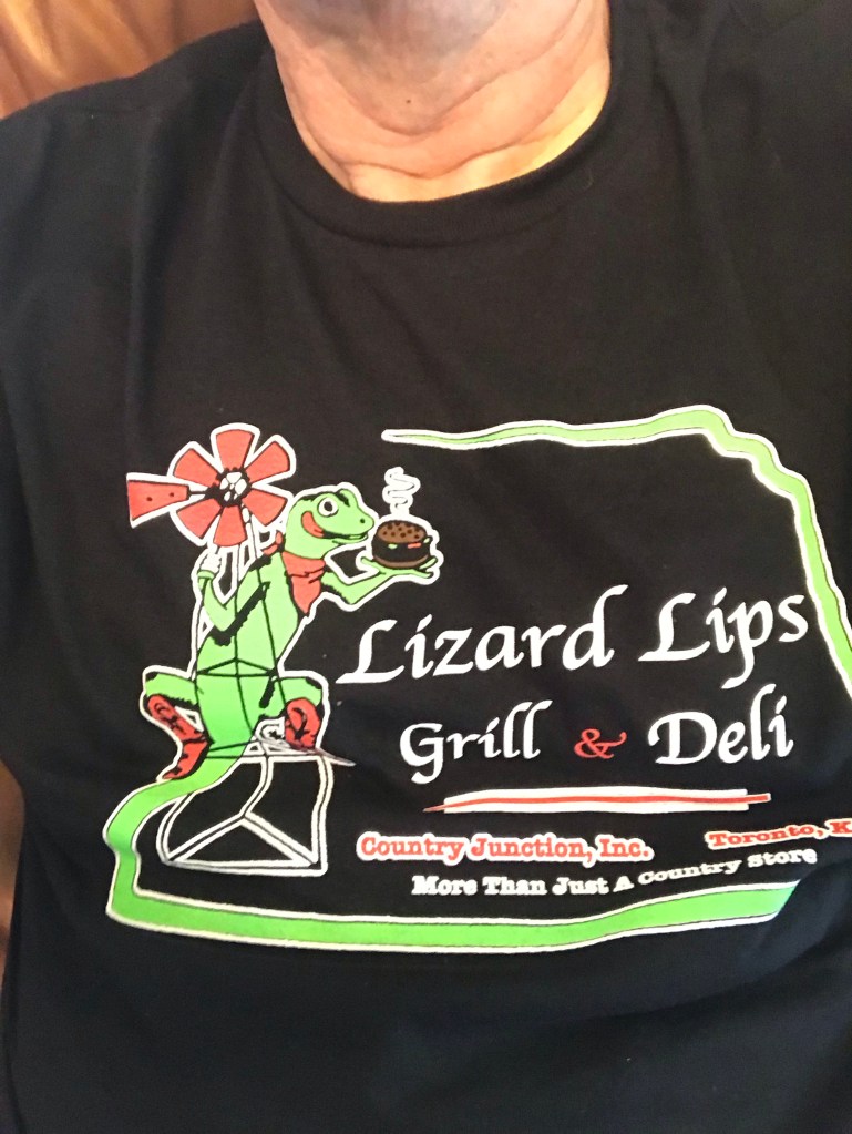
For a start I spotted cars pulling into the Pizza Hut across the highway as I was lubing my chain last night. I decided to buy a pizza and save some for breakfast. That solved one aspect of the problem. I had saved half a Dagwood sub from yesterday’s lunch at Lizard Lipps. (Basically it’s a small brick of meat and bread.) I could get 30 miles out of that bad boy, for sure.
But the crosswinds would be even stronger. Gusts of up to 50 mph were forecasted. About 58 miles of the TransAm route would have featured crosswinds.
I woke at 4 a.m. and came up with an alternative. Instead of following the TransAm route through Cassoday to Newton, I’d ride 31 miles straight west to El Dorado on a two-lane highway. If I was feeling my oats, I could continue on to Newton from El Dorado. This route would be a few miles shorter than the TransAm and give me a viable bailout point if things got nasty.
After downing some cold pizza, I headed for El Dorado. The first 19 miles coincided with the TransAm. I figured that if things were going well, I could scrap the El Dorado idea.
Things did not go well.
The first four miles weren’t too bad but the winds intensified as the ride wore on. Once, again, again, again, and again gusts blew me off the pavement onto the 8-foot wide unpaved shoulder. My right arm was getting worn out from trying to control the bike’s direction. Big vehicles zooming past at 60 mph either hammered my front with their wake or sucked me to the left. The latter was quite scary.
I had to be on my toes constantly. (Speaking of toes, my shoe repair last night seems to have worked. Dunno about the tent repair.)
I plodded along going slower and slower up the ridges in the Flint Hills. Every so often there would be a wind break but increasing elevation seemed to anger the wind gods. By mile 14 I’d been blown off the road 10 times. Then a truly powerful series of gusts knocked me off the road four times in a mile.
I gave up trying to spin in my lowest gear and started walking. When the winds calmed (to perhaps 20 mph) I started riding again.
At the town of Rosalia, where the TransAm turned north, I decided to continue west to El Dorado. I was pooped. What a shame to miss out on 20+ miles of tailwinds to Cassoday.
The highway dropped the unpaved shoulder but I still had about three feet of paved shoulder to work with. The big gusts had abated and there were continuous wind breaks for several miles. Yay! My speedometer rose into double digits . Yay!
But I was toast. I stopped every two miles to rest. I made it to El Dorado a little after noon about four hours after I left Eureka.
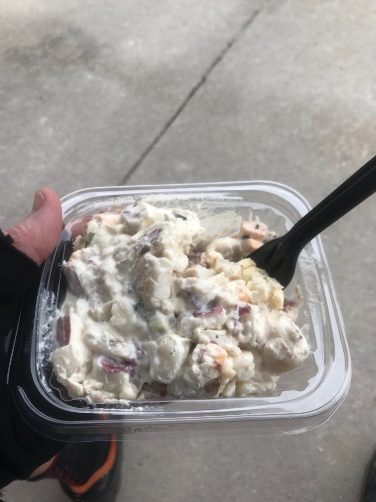
Having already had lunch for breakfast, it seemed logical to have diner breakfast for lunch. Bacon, eggs, hash browns, toast, coffee, and two gloriously tall glasses of ice water.
Kansas has the best bacon. Wide, crisp, and salty. So salty. Did I mention salty?
Once I got back on the bike, my legs decided that I was done for the day. I rode to one motel then another to find one with laundry machines. The Baymont Inn not only had them but they were operated by credit card.
Tomorrow the winds out of the south will continue until late morning then shift to the northeast. Storms are forecasted for much of the day. It’s about 40 miles to Newton. I’ll stop there unless the wind gods push me to Hutchison where there is free lodging for cyclists. Then I’ll let the weather forecast and motel availability decide if I’m going south to check out the Gyp Hills Scenic Highway and Dodge City.
I’m pretty much on schedule to get to Canon City by June 11. Plenty of time to take a day off unless something unforeseen happens.
Mileage today: 34. Tour mileage: 544.