We suffered through three heat waves here in the mid-Atlantic. Thank you, Willis Carrier for your clever invention.
Our home has been infiltrated by some tiny black flying bugs. They are numerous and annoying. Worse, though, are the two palmetto bugs we’ve had to slay. They look like enormous cockroaches. They crawl up the drywall. When you dislodge them the fly awkwardly for a few feet before crashing to the floor. Ayy! Very dramatic. Fortunately they have proven easy to kill. They don’t seem to be propagating, knock wood.
Watching
The Acolyte – This miniseries is the latest installment of the Star Wars franchise. Had it not been for the fact that my sister-in-law designed the costumes, I might have stopped watching after the first episode. The costumes were impressive. Alas, the show didn’t do a thing for me.
Sherlock – Who could resist Benedict Cumberbatch and Martin Freeman as Holmes and Watson. This series (14 episodes, I think) is, but for one episode, set in modern London. Andrew Scott plays Moriarty like a cross between the Joker and Hannibal Lecter. What a contrast with his “Hot Priest’ in Fleabag. The series is uneven. Just as it starts to get formulaic after a few episodes, the stories become somewhat surreal.
Sports
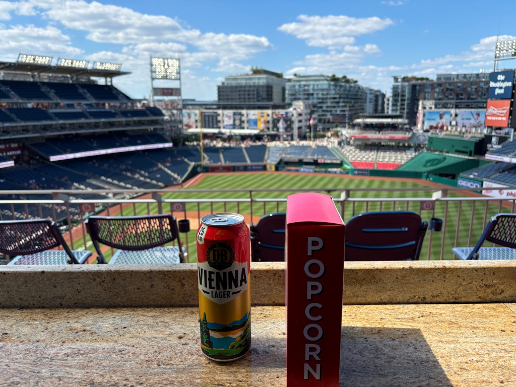
Baseball – I attended one game amid the heat wave and had a most uncomfortable time sitting in the sun. I watched several games on TV but frankly this team is reverting to 2023 form. The Nats showed great promise a month ago but have succumbed to the grind of the long season, exposing their lack of depth and experience. They began to trade away good players to further stock their minor league system.
Olympics – We watched Olympics every night. The announcers suck. And, frankly, I don’t much care what happens except for Katie Ledecky and Simone Biles.
Reading
Table for Two by Amor Towles. I do more riding and napping than reading these days. Of course, you can’t go wrong with Amor Towles. His latest is a series of entertaining short stories and a novella. The latter is a note-perfect noir tale of blackmail in Hollywood in the 1930s.
Riding
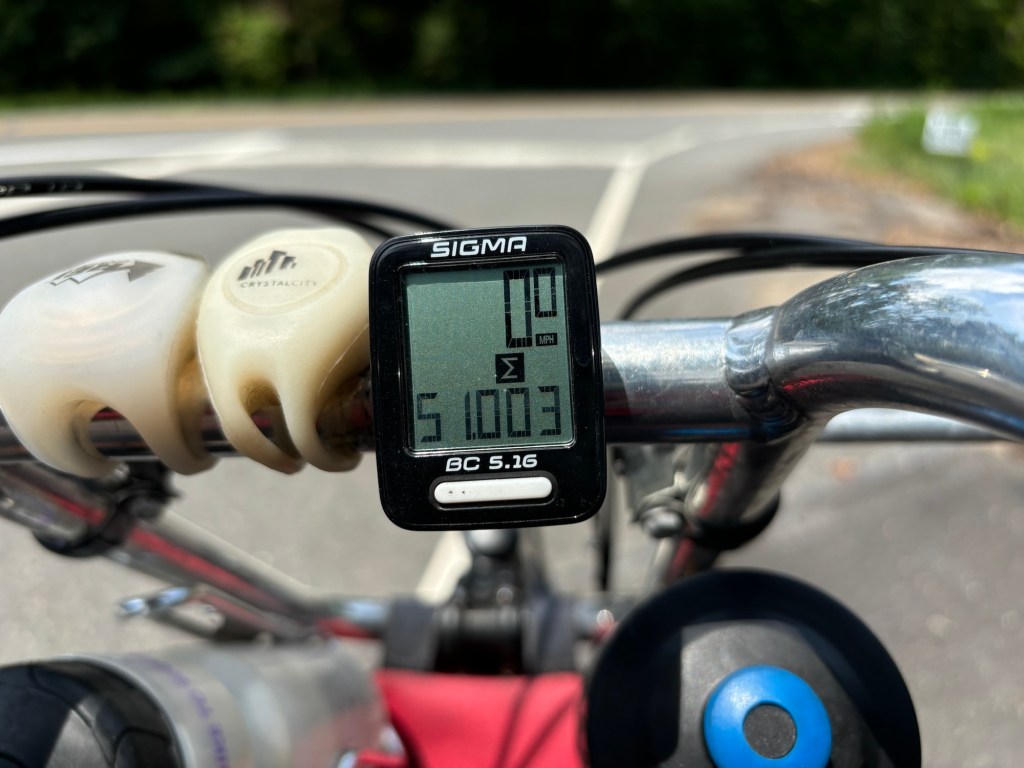
My bike tour fiasco and the heat waves have undercut my biking mojo. I spent quite a few days riding Big Nellie, my recumbent, only to find that it exacerbated the nerve pain from my spinal stenosis. Still I managed to break the 51,000 mile threshold. Before going bent, I rode The Mule past the 76,000 mile mark. Last week I took it to the shop for some overdue TLC. They are going to put a different cassette on it that will make hills less challenging.
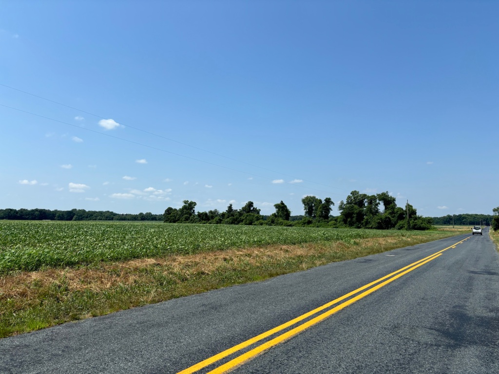
I tweaked the saddle positions on The Mule and The Tank. With The Mule under the knife, I rode the Tank for several days in a row expecting it to wreck my neck. Somehow the tweaks seemed to have lessened the neck issue. In the last week of the month, I rode The Tank, 40, 40, 81, 30, 50, and 38 miles on consecutive days. And to think I was on the verge of selling this bike.
The riding surge on The Tank combined with a botched blood donation (they could only get 1/5th of a bag out of me), boosted my miles for the month to 1000.5 miles.
I finished July at 5,991.5 miles, my lowest mileage at this time of year since 2021 at the end of the pandemic.
Unless I change my mind I’ve decided not to do the Natchez Trace this October. Way too much driving. I have a wedding in Massachusetts the weekend before. I’d have to drive about 20 hours there and back, then drive over 10 to Nashville a couple of days later, then ride to 10 hours to Natchez. Maybe next year.