Any Road Tour: Day 34 – Montana beatdown

After a healthy breakfast of cold pizza, I packed up and rode to the town food market. It wasn’t open until 10 am so I bought a gas station sandwich and bid Circle farewell.

Oh, they have dinos around here.

For the third day in a row I had headwinds but at least I had level ground for a few miles. Then the rollers started. Up 200 feet down 200 feet. Repeat for 60 miles.

To make things interesting the road had expansion joints every 10 or 15 yards. It was like hitting thousands on mini speed bumps. Also there were no services along the route except for a rest room at the half way mark.

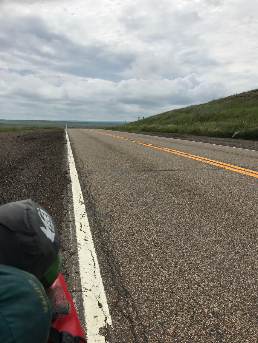
It was a two lane road with a 70 mph speed limit. For those of you who thought riding on the interstate was dangerous, I say “Pshaw!”

Up. Down. The wind would stop midway through a climb only to smack me as I crested the hill. All day long.

I had to bail on a climb when an overwide farm machine passed me.

A bike tourist named Dale came from the other direction. We stopped and talked for a half hour. He came from Seaside Oregon, through Portland, and Missoula. He said the road over Rogers Pass is closed from flood damage. He was stuck for days before a pilot of a single engine plan gave him a lift over the mountains!

I told Dale to keep an eye out for Martin who left Circle a couple of hours after me.

The last three miles into Jordan were mercifully flat. They lasted forever. All I wanted was to put up my tent and get off my bike. I rode around looking for the town park not believing that the postage stamp park with a pit toilet was my home for the night.

I had dead legs all day today. I’ve just done too many long days without a break. I need to do some cogitating about my schedule. I started peeking at return flights from Portland and Seattle. It looks like Tuesday July 23 is less pricey and fits my itinerary. I’ll wait until Missoula to book the flight though.

If Rogers Pass is still closed I have two options. Ride north and pick up the Northern Tier Route. This would be pretty but if any roads get closed I’ll be stuck. Alternate routes go through Canada and I didn’t bring a passport.

Option B is to ride interstates to Helena and Missoula. It may not be scenic but it will be fast because the road surface is good and there are no steep climbs.

Final good note: Tater tots are called gems in Montana.

Miles: 69

Total miles: 2,542

Any Road Tour: Day 33 – Headwinds to Circle

Last night I learned that Wibaux has its own microbrewery and it serves pizza. I walked into town to partake. The pizza was very small but delicious. I decided that in lieu of dessert I would have another beer. It was muy bueno.

So if you’re ever in Wibaux try the Pale Ale.

After a sumptuous breakfast of Froot Loops and toast I hit the road for the 30 mile ride to Glendive. The first 5.5 miles were on the interstate. It may sound odd but riding the interstate is actually enjoyable. You get a massive paved shoulder protected by rumble strips. And the grades are gentle. Sadly the interstates still get headwinds.

I left the interstate for 12.5 miles along Ranch Road. This road goes through massive cattle ranches. They don’t seem to have all that many cattle though, but the views ain’t bad.

After another 7 miles on the interstate I took an exit and turned left into Glendive. Had I known better I’d have taken a right to go to a restaurant to top off my fuel tank. Downtown Glendive was all but abandoned. I crossed an old railroad trestle, festooned with flags. It had been turned into a bike/ped bridge over the Little Yellowstone River. The park on the other side in West Glendive was having a show-off-your-old-car event.

Not seeing any 1991 Specialized Sequoias I moved on. I found a gas station and sat down to a fine repast of shrink wrapped sandwich, corn chips, and soda. While eating I read the diesel pump: 146 gallons. $452. I wonder if the vehicle had solid rocket boosters.

I made a decision to continue on another 48 miles to Circle. I knew there would be increasing headwinds and rain but the greater Glendive metropolitan area wasn’t floating my boat.

The next 21 miles were a gradual uphill, I went from about 2,100 feet to 2,700 feet. It was as slow going, about 9 mph.

In Lindsay the maps I have said there was a gas station convenience store. When I got there it was closed. It was a good thing I stopped in West Glendive.

The next 9.5 mikes were uphill, another 500 feet. Out here in the plains you can see weather from miles away. I could see that I was riding between two large storms. I could hear thunder. I ate a two-day old peach then u stopped to put on my rain jacket. Down came the rain. I didn’t mind since it kept me cool and took my mind off the increasing headwinds.

By the time I reached the peak, the rain had stopped and I was dry. The downhill to Circle would have been awesome but the wind spoiled the joy.

I was pretty happy to see the town of Circle. It has an old motel that has free WiFi and shag carpeting.

When I checked in I learned that Martin, the Swiss bike tourist I woke up in Gackle after my 136 mile romp from Fargo, was also staying here. We got together for dinner in town. I had pizza and beer. (I bought enough for breakfast.)

Martin is taking the Northern Tier route from here. I’m taking the more southerly Lewis and Clark Route.

There are no services between here and the next town called Jordan. It should be interesting.

As of today I am 4 days ahead of my planned itinerary. I expect to give at least one back to headwinds.

Also, in the next few days you may notice that the URL for this blog has become Rootchopper.com.

Finally: does anyone know what this is?

Miles today: 78

Miles so far: 2,473