So here’s the thing. It was raining cats and dogs outside on dreary November day. I decided to give my bikes the day off and my thoughts turned to the future.
I have three events that constrain my touring activities for next year. In April, I’ll be in Indiana for the total solar eclipse. In May, I’ll be in Hartford for my daughter’s law school graduation. In early October I’ll be on the north shore of Massachusetts for a wedding. Of course, I want to be back in DC for the fall riding events so September and November are out. Barring some additional unknown obligation, that leaves mid-May through the end of August for touring. Perfect. Of course, plenty of other things can come up in the meantime but rainy days in November are perfect for dreams of summer on the roads.
Of course, one thing I still want to accomplish is to ride my bike in all 50 states. Most of the states I am missing are in the south and the middle of the country. Here are two ideas that I’ll be rolling around in my head for a few months.
Hot and Sweaty
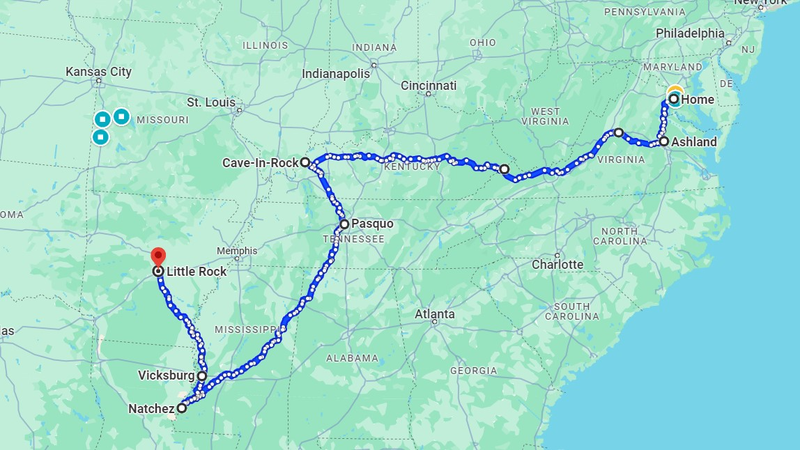
My southern tour idea would pass through Virginia, Kentucky, Tennessee, Alabama, Mississippi, Louisiana, and, maybe, Arkansas. (The states in italics would be new ones in my 50 states quest.) It would rely mostly on three Adventure Cycling touring routes: the Atlantic Coast, Transamerica, and Great Rivers South routes. Here’s how it would go. Riding south from the DC area to Ashland, Virginia, just north of Richmond (Atlantic Coast), I’d bang a right and head west to the Blue Ridge Mountains. Crossing over the ridge I’d drop into the Shenandoah Valley then southwest to the Kentucky border at The Breaks Interstate Park. I’d cross Kentucky until just north of Cave in Rock, Illinois (TransAmerica). From there I’d head south to the Nashville area where I’d pick up the Natchez Trace Parkway. The Natchez Trace goes southeast through Tennessee to the very northwest corner of Alabama then turns southwest across Mississippi. After the Trace, the Adventure Cycling route continues south, across the Mississippi River to Baton Rouge, Louisiana (Great Rivers South). Just beyond the end of the Trace I’d cross the Mississippi River into Louisiana through Baton Rouge to New Orleans and fly home. This makes for about a 1,700 mile tour.
This tour has some interesting aspects. First, it is logistically pretty simple. I only have to figure out how to get my bike and me home from the finish. Second, it uses the TransAmerica route for about half the distance. The TransAmerica has been in existence since 1976 so there are loads of places to stay. It uses the Natchez Trace which does not allow truck traffic and has numerous campsites and other places to stay. The Great Rivers South route goes near a few interesting places like Muscle Shoals, Alabama (famous for two music studios) and Tupelo, Mississippi (Elvis Presley’s birthplace). And if I get really ambitious there are scads of Civil War sites. The big downside to this route is that it can be oppressively hot and humid in the deep south. At least this means I can bring lighter gear. Two other unfun considerations are the dogs and steep hills of eastern Kentucky.
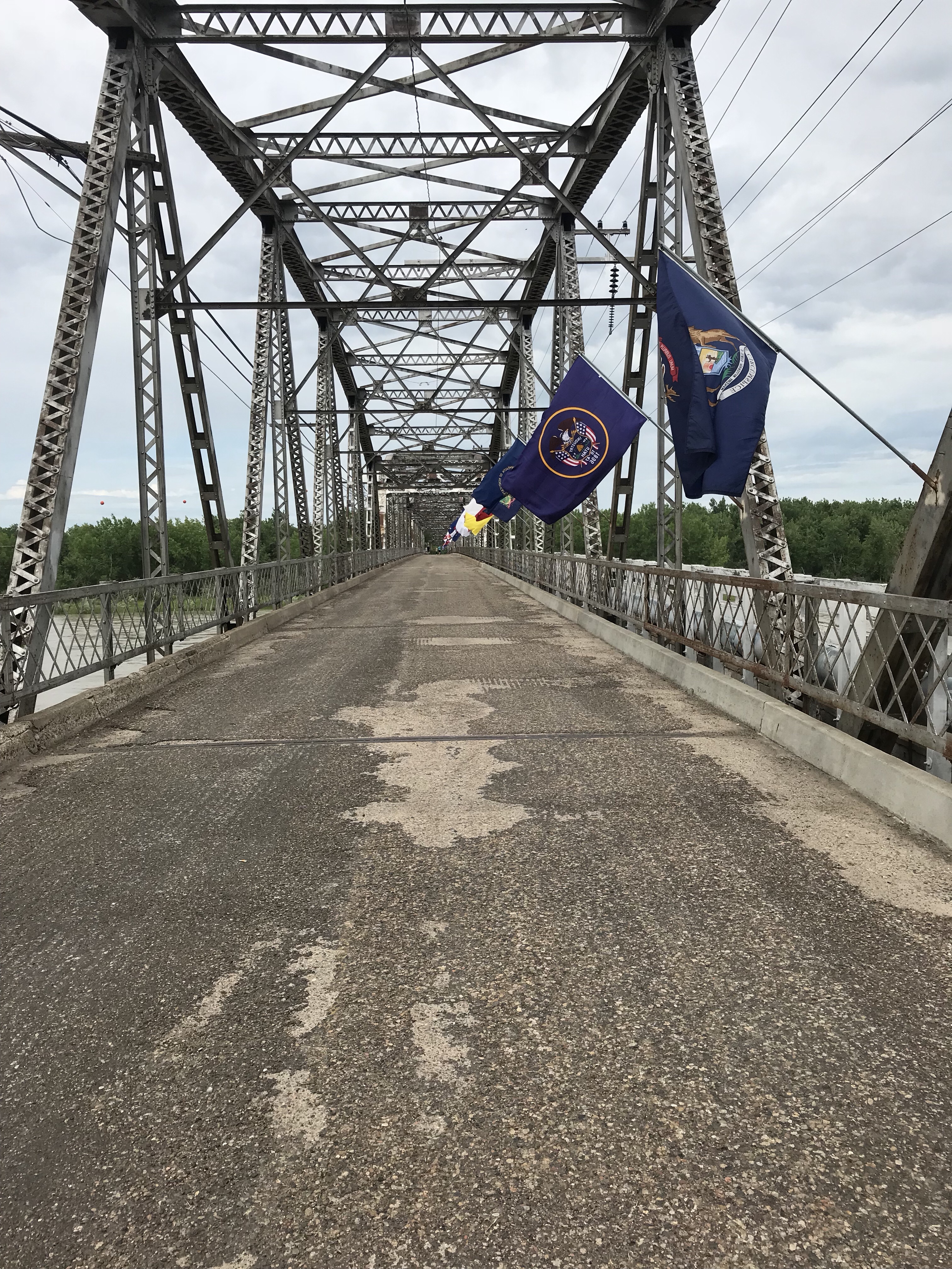
An alternative would allow me to pick off Arkansas. The bridge across the Mississippi at Natchez looks like a death trap (no shoulders, beaucoup trucks, rednecks in beat up pick up trucks, Easy Rider nightmares) so I would have to turn north somewhere along the southern part of the trace. I could ride 90 miles from Natchez to Vicksburg and cross the river there on an old two-lane bridge that is right next to an interstate bridge and likely to be lightly used. Once across I’d head north into Arkansas ending at Little Rock. The area along the river in Mississippi is a series of short steep climbs but oddly not too hilly in Arkansas. This 350-mile side trip is an awful lot of riding to pick off one state though.
Fly Over Loop
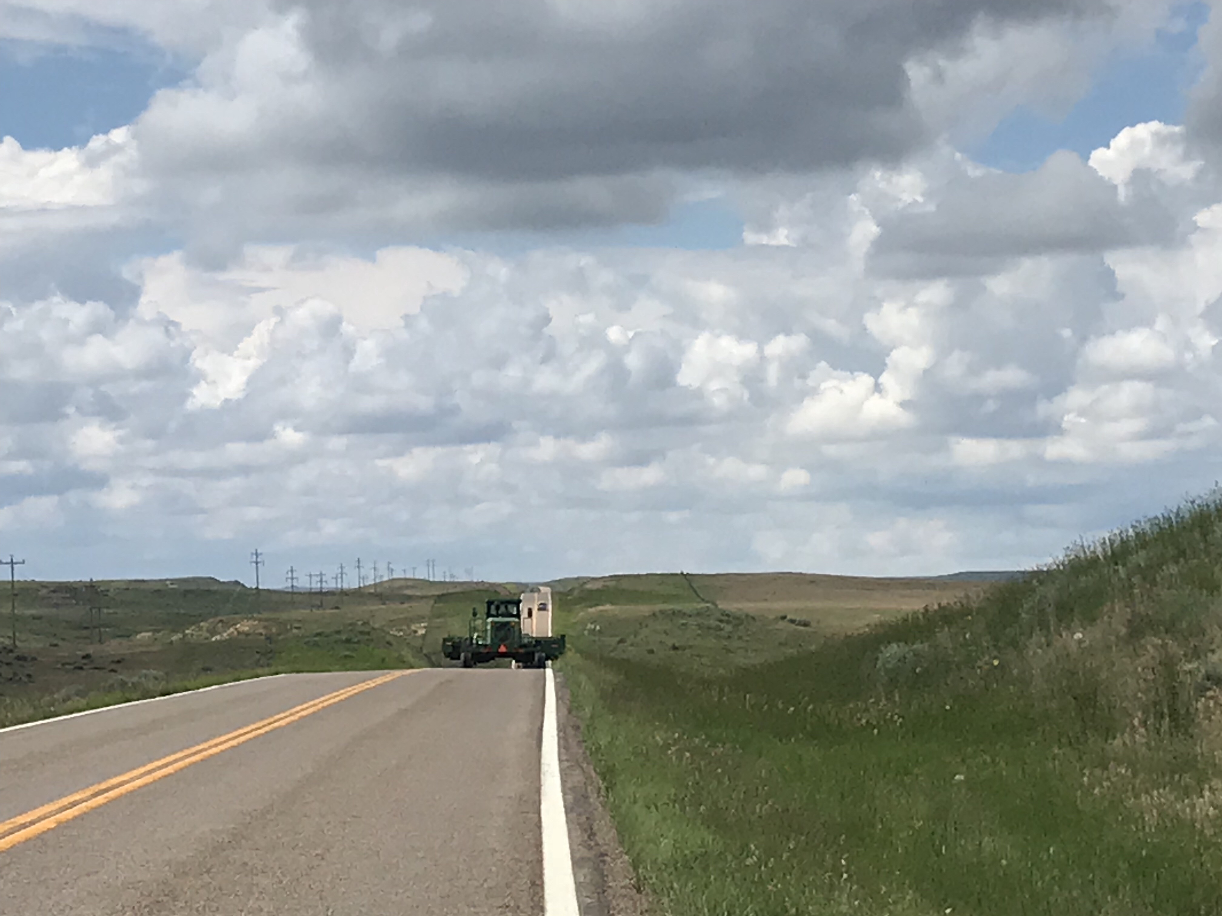
Should my spouse decide to visit her parents in northern Indiana, I could start a tour from there just as I did in 2019. This route would run through Indiana, Illinois, Kansas, Iowa, South Dakota, Wyoming, Nebraska, Colorado, Texas, Oklahoma, and Arkansas. I’d begin riding due south to Indianapolis where I’d pick up Adventure Cycling’s Eastern Express route. This route would take me west across Indiana and Illinois to Saint Charles, Missouri. There I’d pick up the Adventure Cycling’s Lewis and Clark route and follow the Katy Trail and the Missouri River west. I’d continue northeast of Kansas City into Kansas, Iowa, and Nebraska until turning west at Sioux Falls, South Dakota. I’d then follow the Adventure Cycling Association’s Pikes, Peaks, and Prairies route across the Badlands to Mount Rushmore. I’d head north along the Michelson Trail through the Black Hills to Deadwood. Next I’d turn west to check out Devils Tower in Wyoming before heading south across the prairie through Nebraska and Colorado to Amarillo, Texas. At Amarillo I’d bang a left and head east across Oklahoma into northwest Arkansas where I could finish near Fayetteville.
I suppose I could simplify this tour by riding straight across Iowa. That would take some additional planning though. The highlights of this tour would be the Badlands, Devils Tower, and the Michelson Trail, which has a stellar reputation among tourists. The lowlights would be heat and wind. Most of the Great Plains can get brutally hot in mid-summer. The long ride south from Wyoming to Texas likely would be into a strong headwind. Also, there are long stretches on this route without any services including water. BYOB.
The whole loop would be about 3,000 miles, the same distance as my Indiana to San Francisco tour in 2019.
It would make a heck of a lot more sense to start the tour in Sioux Falls but that would involve an additional logistical hassle. Also, I’d miss out on so much corn and soy and livestock.

Beyond 2024 and 2025
Aside from Alaska, which would involve some sort of special one-off trip, I’d still need to pick off the southwest. There are two options.
Option one would follow Route 66 from Santa Monica, California through northern Arizona and New Mexico (with side trips to the Grand Canyon and Sedona) ending who knows where. I could even go all the way home which would be about 3,500 miles. If I still needed Arkansas, I would ride from Tulsa to Fayetteville before rejoining Route 66 in Joplin, Missouri.
Another option would be to cross the country from San Diego to New Orleans. This could be combined with the first tour above to pick off seven states in one go. That would be somewhere over 3,300 miles. Also, I’d probably stop in Phoenix to rent a car to go see the Grand Canyon and Sedona.
Any tour involving the desert Southwest would start in early April to avoid the impossible heat of the desert southwest in May and June. I’d finish in June.
The biggest impediment to conquering the 50 States challenge is age. I lost two good touring years to the pandemic which pushes a completion out to my early 70s. As old as that sounds I recall meeting two 70-something riders in my bike travels. I met one man near Fort Scott, Kansas. He was riding north to Sioux Falls, South Dakota before turning left for somewhere in California. I encountered the other elderly rider near the Oregon/Idaho border. “When I was young this was fun; now that I’m old, it’s work.”
Then there’s the 80-year-old man I met in Sheridan Lake, Colorado in 2022. He was riding a tadpole (two wheels in front) trike and pulling a trailer. His daily mileage was low but he started in Denver and was headed somewhere east.