It’s been over a week since I competed my van-assisted tour of the Natchez Trace with the Adventure Cycling Association (ACA). I’ve had time to reflect on things. Here are some thoughts.
Tour Administration
I signed up for a tour that began in Nashville, a 10-hour drive from home. Day 1 of the tour was supposed to involve a 9-hour shuttle ride from Nashville to Natchez. Apparently previous participants found this unappealing. (I can’t argue with that.) A week or so after I committed and paid for the tour, I was notified that the tour would begin in Jackson, Mississippi, a 15-hour drive away. It would still involve a shuttle from the end in Nashville back to Jackson. I was notified that if I wanted to return to Jackson at the end of the ride, I would have to cough up an additional $75 for a seat on the shuttle. Finally, the itinerary was changed to include a 90-mile day. These changes gave me the impression that the entire operation was amateurish.
Participants were also advised that it would be wise to bring a light-weight road bike instead of a heavy touring bike. The Mule, which I long ago altered with easier gearing for touring, has carried me on 8 loaded tours over 10,000 miles. The Mule was not amused.
Fortunately, once I was on-site, the mishigas stopped and the tour itself was well-run.
After the tour, I received an email with a link to a feedback survey from the tour organizers at Adventure Cycling. Like most people, I have filled out dozens of on-line surveys without incident. This survey was a Microsoft product that failed to accept my login information. Try as I might, I couldn’t crack the secret of launching the survey. I have never encountered survey software this lame before. I ended up sending an email with some feedback to Adventure Cycling instead.
Operational Aspects
The tour co-leaders were Jeff and Beth Ann, both of whom are very experienced. The experience showed. There was a system to every aspect of the tour. The whole thing went off like clockwork with only a couple of glitches that were easily resolved.
Shopping for and cooking dinner, breakfast, and lunch was the responsibility of the riders, organized into groups of two or three people each day. It was obvious that the idea of rushing through a long ride to shop for food so that the rest of the riders could eat before dark was unappealing. We all knew this cooking and shopping arrangement was part of the tour but the reality of it just didn’t sink in until the second 70+ mile day. Remarkably, each group had a creative chef and support crew. Vegetarian options were provided which is quite a trick when cooking outdoors for 15 people. Also, Jeff taught us how to make coffee using a French press. Suffice it to say, bicycle tourists drink the stuff by the gallon and it was very good.
On the second day we were confronted with a situation near Jackson. Traffic is quite heavy in this area. Trail users are normally required to use a side path but the path was under construction. The tour leaders offered a shuttle ride past the problem area and we all accepted the lift. Safety first.
The 90-mile day began with a long, steep-ish climb from our lakeside campground back to the Trace. Some of the riders were already tired from three long days. It became clear that most of the riders wanted nothing to do with the either the distance or the climb and requested a “push”, a shuttle ride 20 or so miles into the route. The tour leaders met this request without drama. (It’s a serious pain to load and unload the bikes onto the roof of the van so the leaders’ cooperation was not without significant effort.) I decided to ride the whole 90 miles. Jeff had told us of a stone wall (a man’s tribute to a relative who walked the Trail of Tears) that was a must see along the route. There was no wayfaring information on the Trace so we would have missed this otherwise. It was beyond cool. Unfortunately, with 90 miles to cover in a day, I felt I couldn’t stay at the wall more than a few minutes. (As it was I was the last person to finish for the day.)
Tour Lowlights
Sleep: For some reason I struggle to sleep on bike tours. Camping, hotels, Warmshowers…it doesn’t matter. I don’t think I had more than 4 continuous hours of sleep on any night during the tour. When I arrived home, I slept like a log for 3 straight nights.
My Back: Whenever I was off the bike, I had back pain, caused by my lumbar spinal stenosis. Lugging things to and from the trailer, hefting my bike up to Jeff on the roof of the van, not consistently doing my therapy exercises, poor sleep, and driving 15 hours to the start all contributed to an incessant dull ache in my lower back whenever I was on my feet. (I had no such pain while riding, however.) Once home, I switched to riding Big Nellie, my Tour Easy recumbent, for a week and got back on my therapy routine. It feels much better now but I am still thinking of getting a referral to a surgeon.
The Fixed Itinerary: I didn’t think about this when I signed up but normally I draft an itinerary for all my tours. Each day’s ending point is determined by the availability of a place to sleep. If I am feeling spunky, I ride farther (I’ve done more than 100 miles in a day several times). If I’m dragging, I take a short day or an off day. On an organized tour, you pretty much are locked into an itinerary. Not much of a lowlight, but I wanted to mention it anyway.
Waiting: It takes quite a long time to cook and clean up dinner for 15. It’s nice to have company but the waiting can get irritating. It’s worth noting that the leaders’ organization helped keep this under control.
Truck Sewer: The drive to and from Jackson was especially stressful on I-40 in Tennessee. The truck traffic was incredibly heavy. From time to time the trucks would clog both lanes and traffic would go from 70 to 0 without warning. Ugh.
Tour Highlights
Weather: Days began in the 40s with temperatures rising above 55 degrees within an hour or so. It rained for a grand total of 15 minutes. Once. Humidity was low until the last day. Darn near perfect
Bugs: Except for a spider bite on the first or second day, I saw virtually no evidence of bugs. This sucks for the frogs and birds but it was pretty amazing for bike riders and campers.
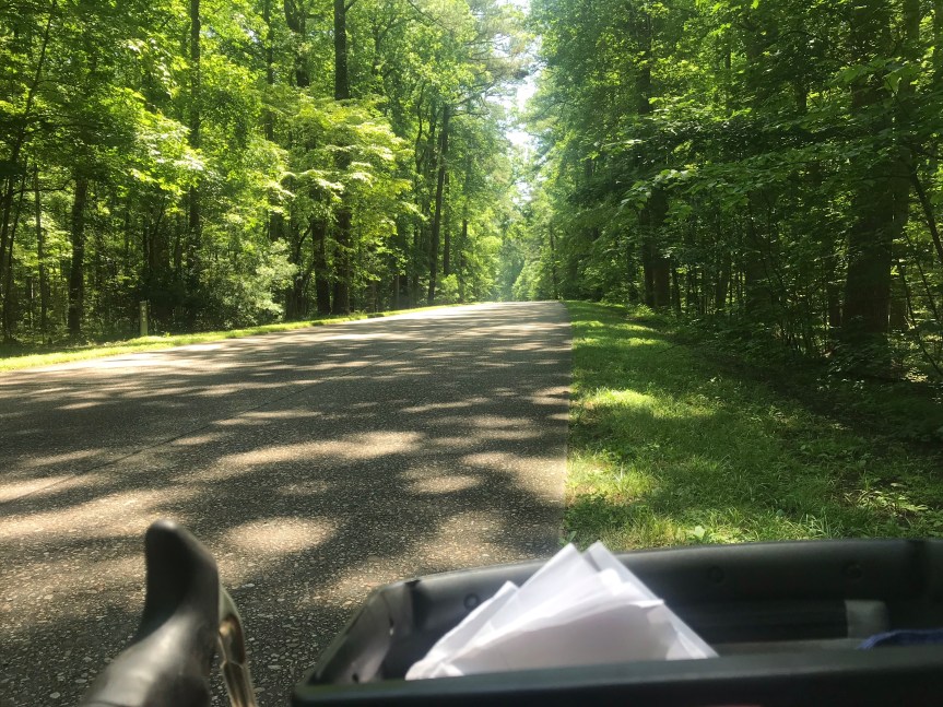
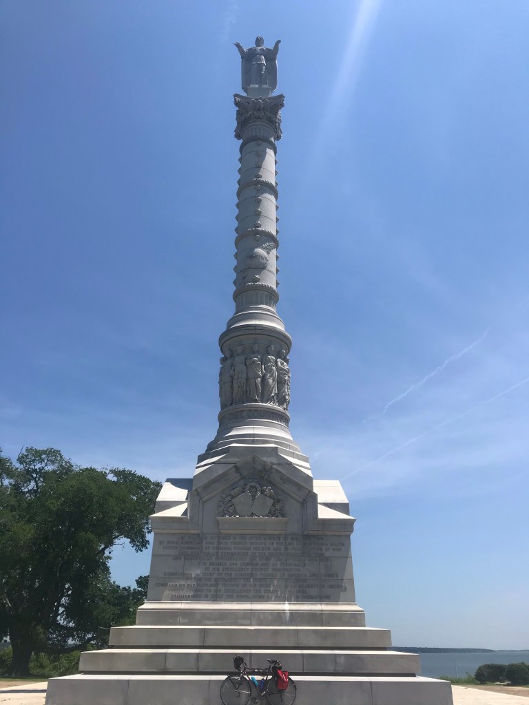
The Road: The Natchez Trace does not allow commercial truck traffic. The pavement reflects this. It was smooth nearly the entire way. There were occasional expansion joints but these were the exception. There was very little wild life. Road kill was minimal (but the armadillo was pretty cool).
Windsor Ruins: Windsor Ruins is about ten miles off the Trace. The road surface was rougher and the terrain was hillier. It was worth the extra effort.
Wichapi Stone Wall: This thing was amazing. I could have spent well over an hour there. It’s only a few hundred yards off the Trace. A must see.
Cypress Swamp: We rode through a cypress swamp on the third day. There’s a boardwalk but you can also see the swamp from the road. Spooky. (No, we didn’t see any gators.)
Scenery: Leaving Jackson on Day 3 we rode by a 50-square-mile acre reservoir. Other than this and the cypress swamp, the Trace passes through woods and small farm fields for the entire route. With mostly very light traffic (except near Jackson and Tupelo), no turns, no stop signs, and no traffic lights, the Trace is hard to beat for losing yourself. (If you want to you can park your bike and take a walk along the Old Trace footpath. Just the thing for the tired cyclist.)
Showers: Getting into the vibe of a long bicycle tour typically includes a few days in a row without showers at night. Not that I find this appealing. We had showers on all but one night. Well played ACA!
Leadership on the Ground: Jeff and Beth Ann were both very experienced tour leaders but they had never led a tour together . They complemented each other like Astaire and Rogers. Jeff is the chill-est human on the planet. Beth Ann is a bit more frenetic. They were organized, knowledgeable, helpful, and utterly professional.
The Riders: I’m an introvert and find that self-supported solo touring is my preferred way to ride. It’s remarkable that I can only think of one unpleasant bike tourist I have dealt with in all my time on the road. Even so, putting 13 people together on a tour is pushing your luck. Fortunately, our Natchez Trace group of 13 riders was remarkably harmonious. And old. Eight of the 13 riders were between the ages of 69 and 74. And fit. Dang, some of these old folks can move! And pretty good at cooking. And intellectually diverse: we had, among other things: a doctor, lawyer, bank examiner, economist, professor of environmental science, farmer, and eagle expert. We heard funny stories about life on a submarine (don’t press the red button) and the full contact ballroom dancing.
Food: One of my biggest problems on a bike tour is eating well. Peanut butter on tortillas is my go to. I have been known to inhale a Pop Tart or four for breakfast. One big advantage of this tour is that the food was pretty darn good.
Three More States: I added 3 states (Mississippi, Alabama, and Tennessee) to my list of states biked in. I’m now up to 41. If I had thought about it, I easily could have driven to Louisiana and Arkansas. Oh well.