With the prospect of several days of rain ahead, I decided to drive over to Easton, Maryland to do a ride on level ground. The ride would include cool grave yards, colonial era towns, a ferry, and corn and soy fields. Most importantly there would be no hills.
There being no hills, I opted for The Tank, my Surly Crosscheck. This bike is heavy and, despite a recent modification to its gearing, is best used on this kind of terrain.
I have put about 1,000 miles on my 2009 Honda Accord this year. The last time I bought gas it cost me about $3.70 per gallon. My wife, who drives considerably more, has been telling me about finding gas for under $3.00. With a fuel gauge indicating I had a tad less than 1/8th of a tank, I headed out to the Eastern Shore of Maryland in search of cheap fuel. No problem. My gas tank holds 19 1/2 gallons.
By the time I reached the Bay Bridge, I had gone about 50 miles. My fuel gauge indicated that my tank was empty but, as we all know, the needle on the fuel gauge always goes below empty before the tank is truly empty, right?
I made it over the Bay Bridge and started scouting out a gas bargain. I passed a dozen gas stations, all of which had prices in the high $2.90s. With the needle in the empty, red zone, I continued on. Some basic math indicated that I should have plenty of fuel left. As the highway turned toward Easton, I passed a gas station that was partially obscured by some box trucks. No worries, I’ll just go to the next one.
There wasn’t another station for over 20 miles.
With the station in sight on the opposite side of the divided highway, I was about to change lanes to turn toward it when my car said, “Not today”. The engine sputtered once then cut out. Did you know that cars lose speed remarkably quickly when they run out of fuel. A total car bonk! The traffic behind me not so much.
I looked to the right and saw that there was no shoulder, only a drainage ditch. Eek.
Luckily the turn for the gas station was at a signalized intersection with right and left turn lanes. I guided the car into the right turn lane and rolled to a depressing stop.
With my emergency flashers on, I decide to hoof it to the station. I emptied one of my three water bottles to use as a gas container and started out. Cars were lining up at the red light. A white SUV rolled up and the driver asked me if I was okay. I explained my situation and he asked, “Would you like a gas can?”
Yeah, buddy.
He turned onto the road to the right, stopped, and pulled a small gas can out of the back of his hatchback. I thanked him profusely and told him I’d be back in a few minutes. After a long wait to cross the highway at the light, I made it to the gas station, bought about 2 gallons of fuel and headed back to my car.
On the way back, a passenger in a different car waiting at the red light leaned out the window and said something like “I hope your day gets better.” Despite the hassle of running out of gas, I realized at that moment that I wasn’t the least bit upset. After all, I had been driving for 52 years and this was the first time I had run out of gas.
My car, and my bike on a rack on the rear, thankfully, had not been rear ended. I decanted the gas into the gas tank then drove to the side street to return the can. The SUV was nowhere to be found. I stood around holding the orange/red gas can high so that perhaps my Good Samaritan would see me. No luck. In the end I drove off to Easton with an empty gas can and some heartfelt gratitude.
Once in Easton I saw a sign for $2.85 gas. Yes! When I got to the pump, I saw that it was a special rate for Royal Farms club members. I being a Royal Farms philistine paid $2.97. When karma meets irony, you pay the man, Shirley.
As for the ride, it was a tad shorter than planned. I stitched the ride together from the excellent brochure from Talbot County (of which Easton is the county seat). The brochure shows six rides of between 26 and 38 miles. Color coded maps and cue sheets are included. And one master map shows all six rides. I started on the blue route, switched to the brown route, then planned to finish on the green route.
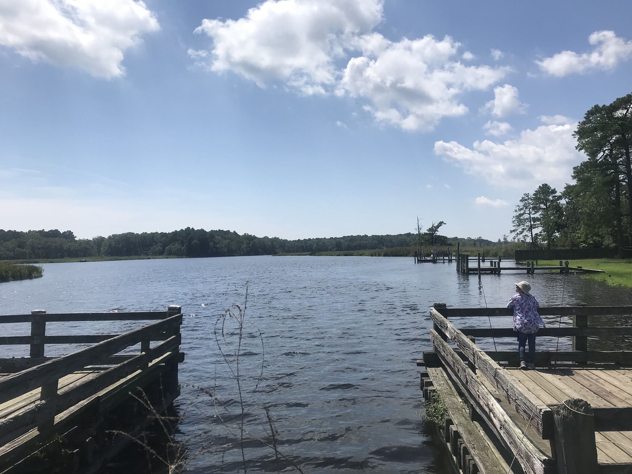
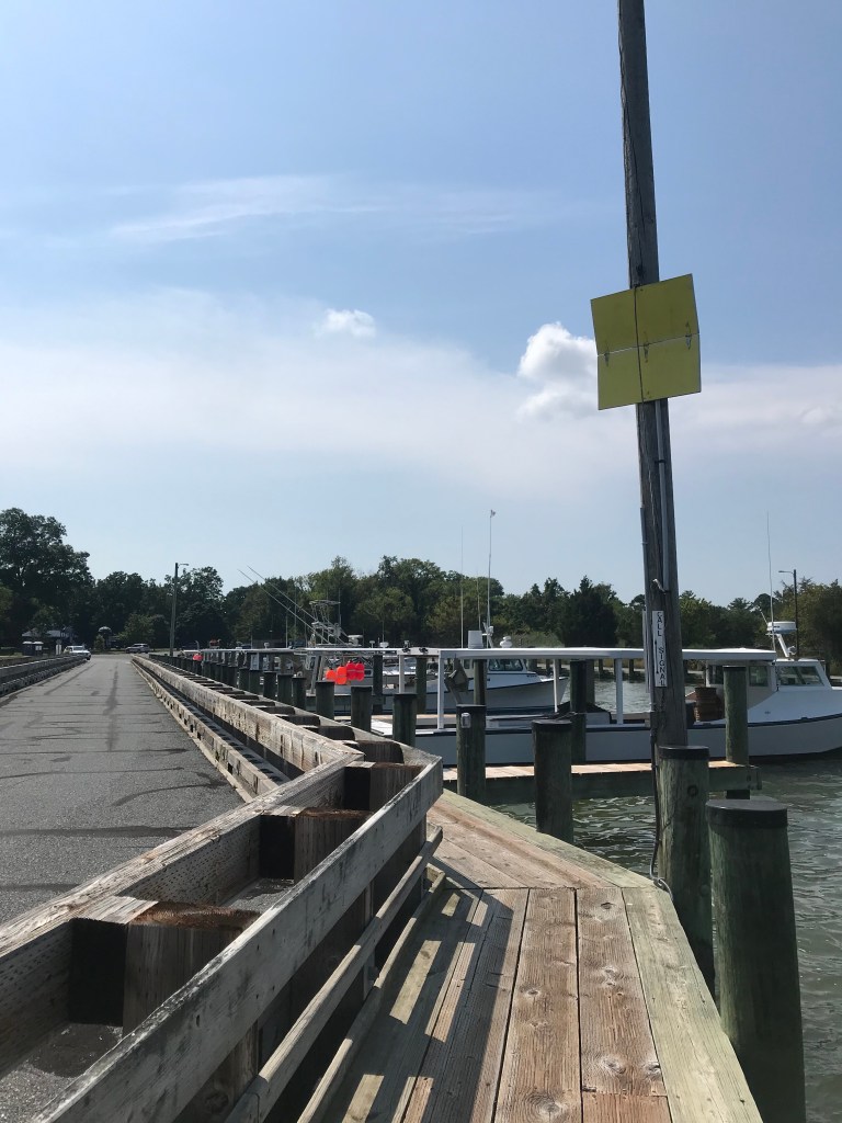
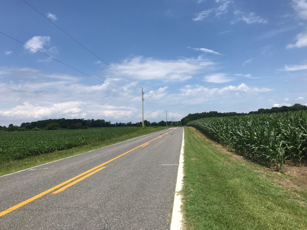
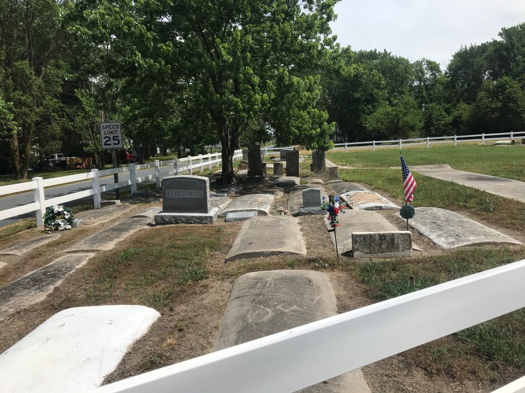
The first 15 miles on the blue route featured a strong tailwind out of the east. I zoomed from Easton to Saint Michaels with ease. After meandering in Saint Michaels for a while, I headed east into the wind, crossing the Tred Avon River on the Bellevue-Oxford ferry. From Oxford I continued east, switching to the brown route, a tour of interesting old graveyards. Along the way, I watched farmers in their big corn harvesting machines taking in the last crop of the season. The machines look like massive green barber shears on wheels.
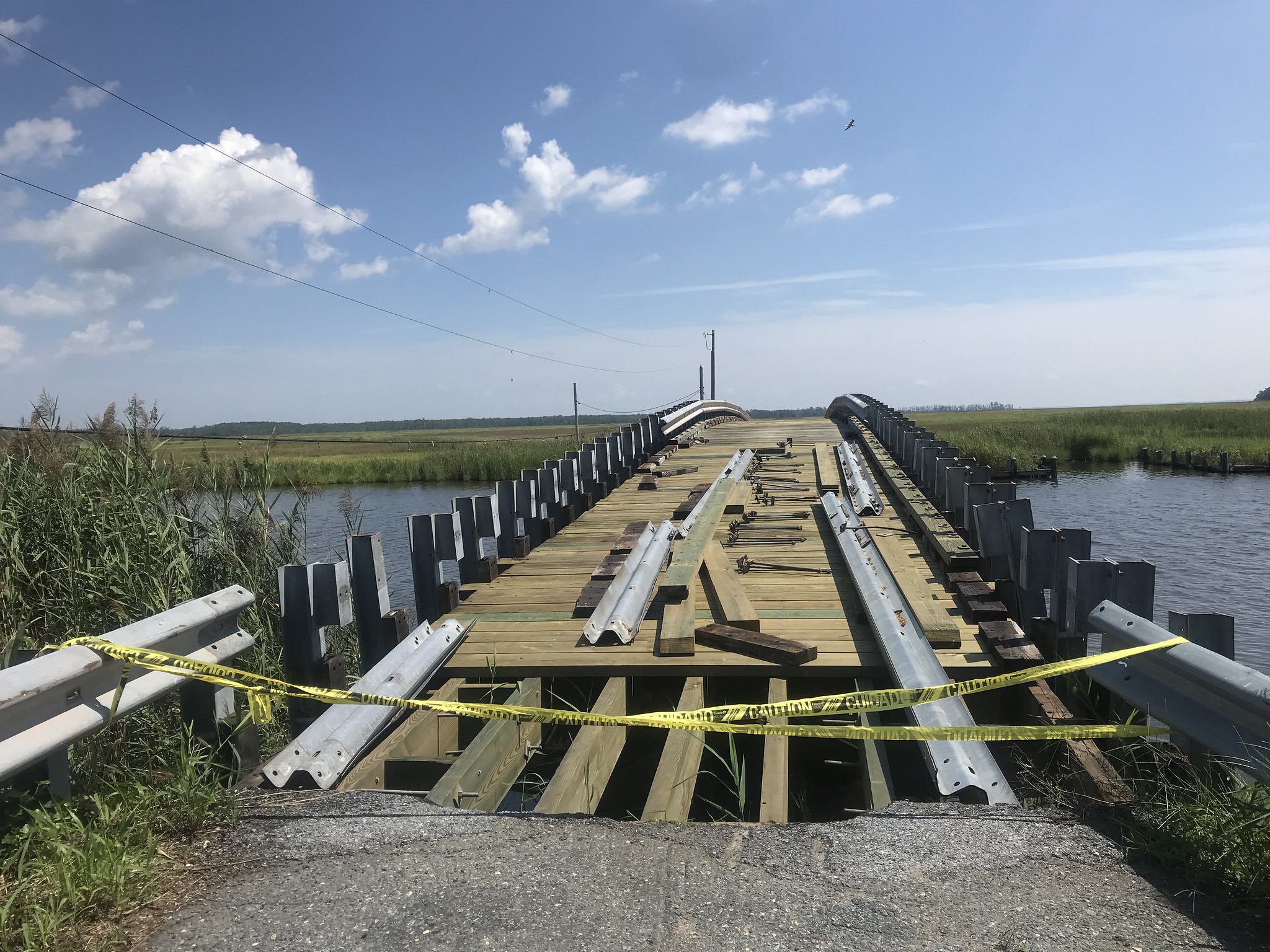
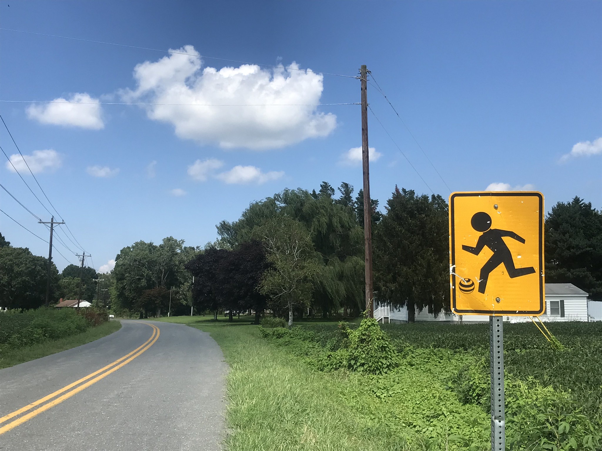
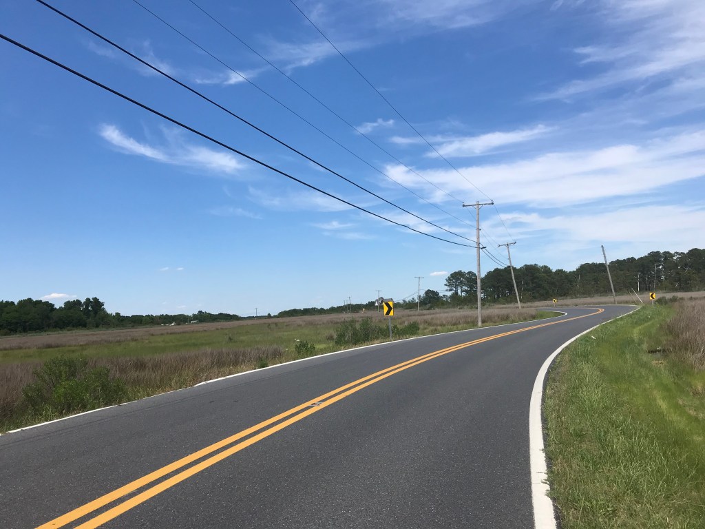
At Dover Road I turned to join the green route, a tour of more farms, mostly soy and corn. Somehow I managed to miss a turn and ended up on a highway that would cross the Choptank River. I checked the Google and realized that crossing the river would add about several windy miles to my ride.
Having already ridden about 20 miles into a strong headwind, I decided to pack it in and reversed course back to Easton, going off route in the interest of exploring some backroads. It was a good decision. Forty one windy miles was enough for me on this day.
I highly recommend the brochure. If you are looking to get away from the city and want some easy, low-stress riding, Talbot County is a good choice. The ferry ride is my favorite, but make sure to check the ferry schedule. Also, bring cash for the $7 one-way fare.