It is Fall and an election year so what better time to go biking in and around DC, right? On Monday, I rode up to DC to check out the poop statue. Some sarcastic artists had placed a work of whimsy on the National Mall just west of the Capitol. It depicted Nancy Pelosi’s desk on a pedestal. On the desk was a note pad, a phone, and a pile of poo. The plaque on the statue explained that display commemorated the “patriots” who stormed the Capitol building on January 6, 2021.

When I arrived home, I learned that the same artists had erected another statue. This one was in Freedom Plaza on Pennsylvania Avenue between the Capitol and the White House. This statue was of a tiki torch held up by a fist. It’s plaque describe how this torch memorialized the “very good people” who marched through the campus of the University of Virginia in Charlottesville chanting “Jews will not replace us.”

(A few hours ago, I learned of a third statue in Philadelphia. It depicted Donald Trump standing behind an abstract statue of a nude woman to )the ex-president’s remarks about and behavior toward women.)
Before I left, a Georgetown grad student asked me how international politics would affect my vote this year. I said it didn’t. I told her that I voted for someone who understands that climate change is real, that law enforcement officers don’t belong in my daughter’s doctor’s office, that international alliances and commitments are to be honored, that public health officials should be listened to, and so on.
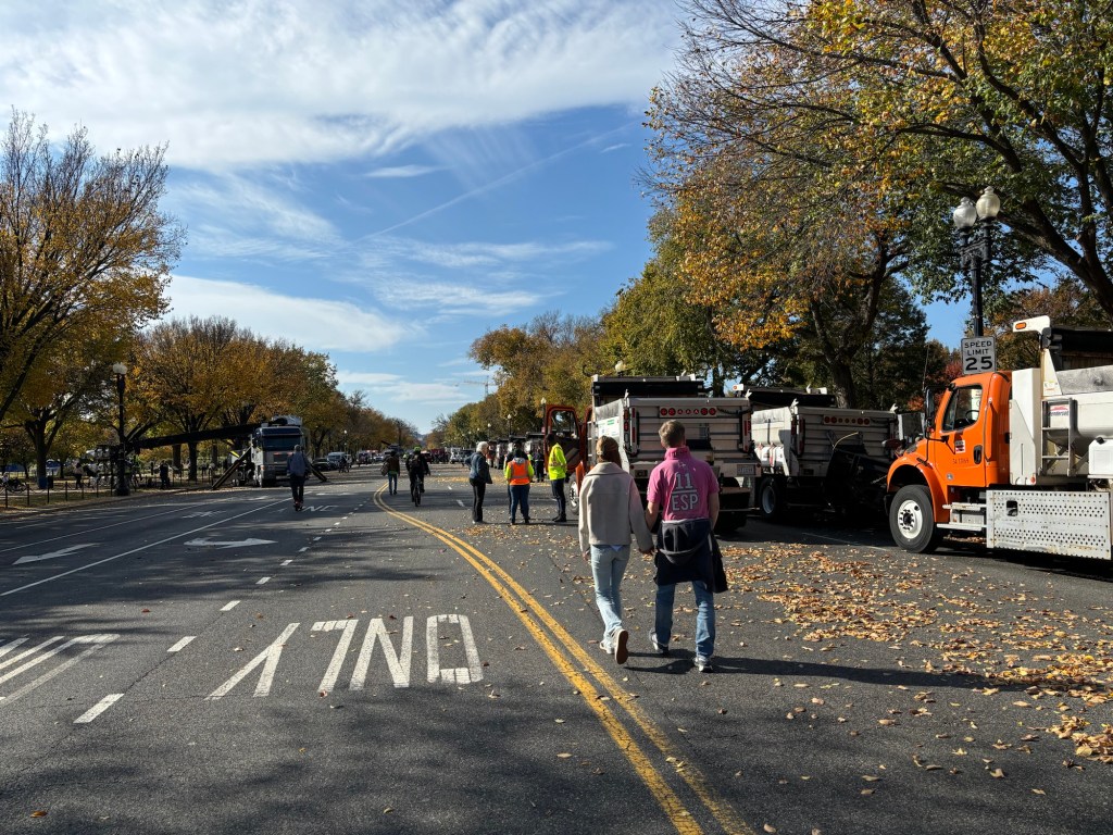
Interview over, I rode the Pennsyvania Avenue cycletrack back to 15th Street through police barricades and onto its cycletrack. There I saw temporary ten-foot-tall fencing running the length of the street and around the corner on Constitution Avenue. Along the curb were dozens of dump trucks and other huge vehicles forming a wall to protect the Ellipse where Kamala Harris was to give a speech in a few hours.
I rode west on Constitution then up Virginia Avenue on its cycletrack. (DC license plates should say: I’d rather be riding in a cycletrack.) At Rock Creek Parkway I took a right and followed the paved trail several miles up into Rock Creek Park. Can you say “foliage”? There were two things that detracted from the ride. The security arrangements near the White House had caused traffic to back up on the Parkway for two miles. Man were those drivers unhappy. When I reached the point where cars were prohibited from using the roadway I noticed that the water in the creek was very low. It has been four weeks since we had measurable rainfall in DC. All this good weather is wearing my bicycling butt out!


I rode up out of the park on Sherril Drive then across the Tacoma and Brightwood Park to the Metropolitan Branch Trail. The MBT took me straight back to Capitol Hill but not before hearing someone call my name (again!) at at Alethia Tanner Park. It was Kevin from the 50 States/Cider rides posses. We chatted for a half hour before I continued south, riding straight across Capitol Hill to the Wharf area, bypassing the thousands working their way to the Ellipse event.
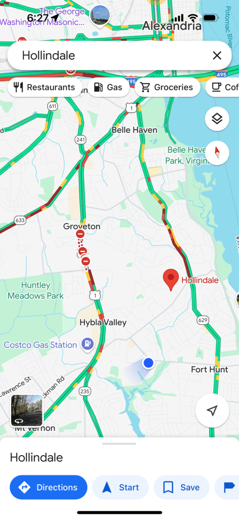
I crossed back into Virginia and took the Mount Vernon Trail and a connector trail to Fort Hunt Road and US 1. I turned south on Fort Hunt Road, a two-lane suburban byway. After a quarter mile a started passing a line of cars inching along for what turned out to be about four miles. Bumper to bumper. US 1 was closed by downed power lines and traffic was diverted to Fort Hunt. I felt sorry for the drivers as I passed car after car after car after car working their way back to Route 1. Sucks for you, folks. To their credit, the drivers stayed in their lane and out of the bike lane on Sherwood Hall Lane near my home.
So many leaves. So many people. So many cars. That’s DC in the Fall during an election year.