The Mo Mo Tour: Day 13 – Whytheville to Damascus

Yesterday was the “I want my mommy” day of this tour. It ranks as one of the of the ten worst days I’ve ever spent on a bike.

Today was the “Who’s your daddy?” day. the last 20 miles are among the best I’ve ever ridden.

I slept in two to three hour spurts. Mindful of comments about my diet being rather inadequate to the task at hand, I had bacon and eggs with coffee for hotel breakfast.

Last night in a search to purge weight from my bags I found four BelVita packs and four apples. I decided not to grab food for the road from the hotel. Time to consume the consumables.

Before leaving I cleaned and lubed my chain and put a drop of lube on various places on my cables and derailers. Ready to roll.

I coasted downhill for a stop at WalMart then rejoined the route in downtown Whytheville. I didn’t feel very good but decided to continue anyway. On top of the brutal hills, I’ve been dealing with pollen issues for several days. Having sinuses filled with gunk makes me drowsy.

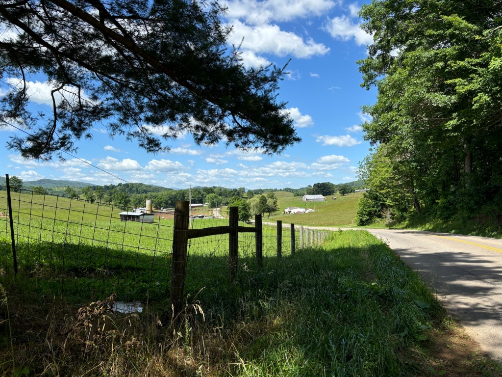
The route took me southwest on Lee Highway, US 11, the old main route through the Shenandoah Valley. Traffic was light and drivers gave me plenty of space. More importantly, the grade of the road was gentle, rarely exceeding 2 or 3 percent, despite what my map’s elevation profile said.

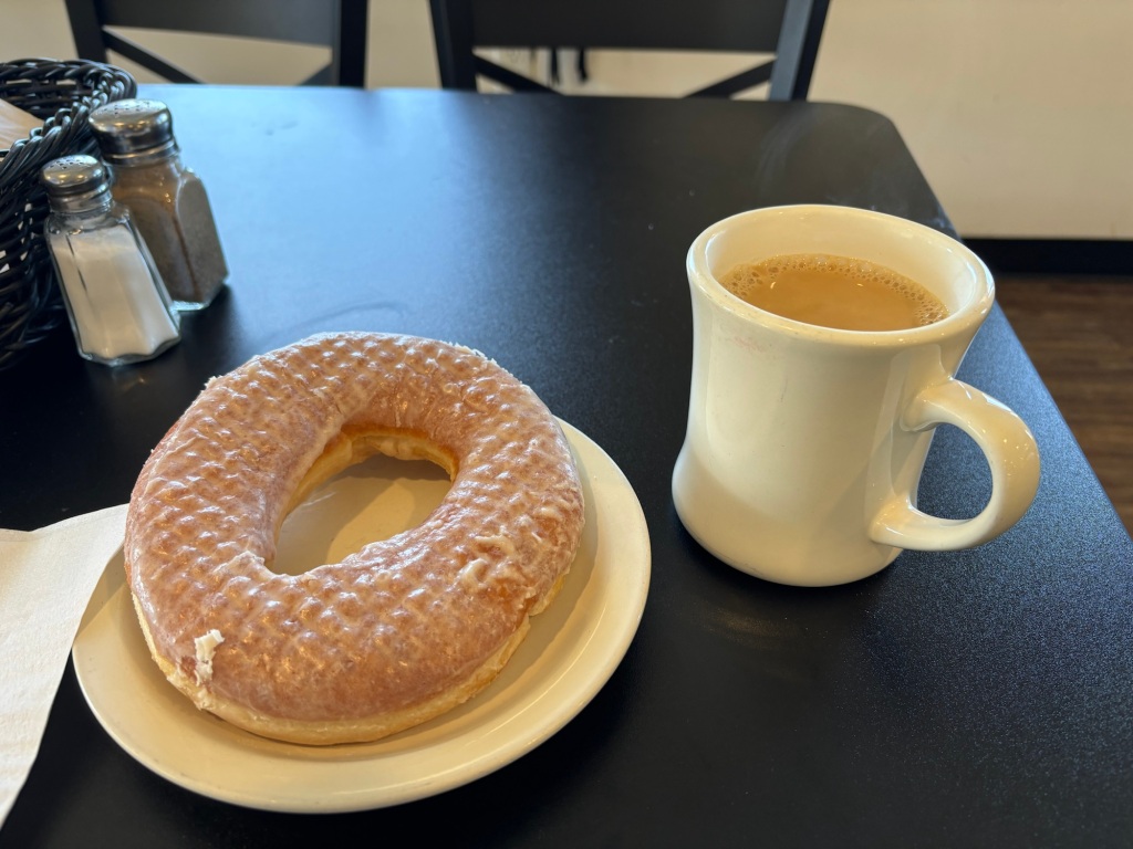
I seemed to be getting stronger by the mile. A light headwind didn’t seem to be slowing me. I came to Rural Retreat and stopped at an Amish-run bakery and coffee shop for second breakfast.

Note the sign at lower left that says “ Yoder’s”, an Amish name.

As luck would have it, today is National Doughnut Day. I bought a cup of coffee and was treated to a huge glazed doughnut. So much for my dietary improvements.

The best things in life are free. And big.

About a quarter mile later, I went into a grocery store and bought dinner, a big turkey and egg salad. My planned destination was a church hostel in Troutdale. There is no food there or in town so it’s BYOS.

According to the elevation profile, I had climbed about 200 feet to 2,500 feet.

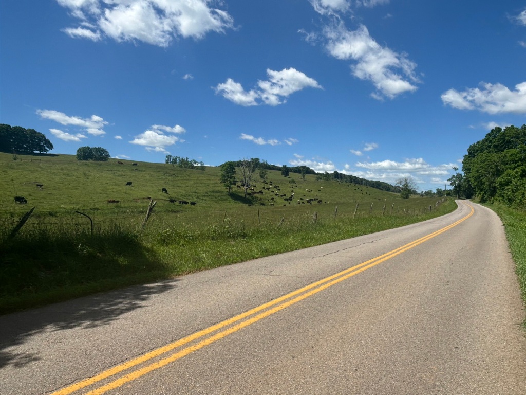
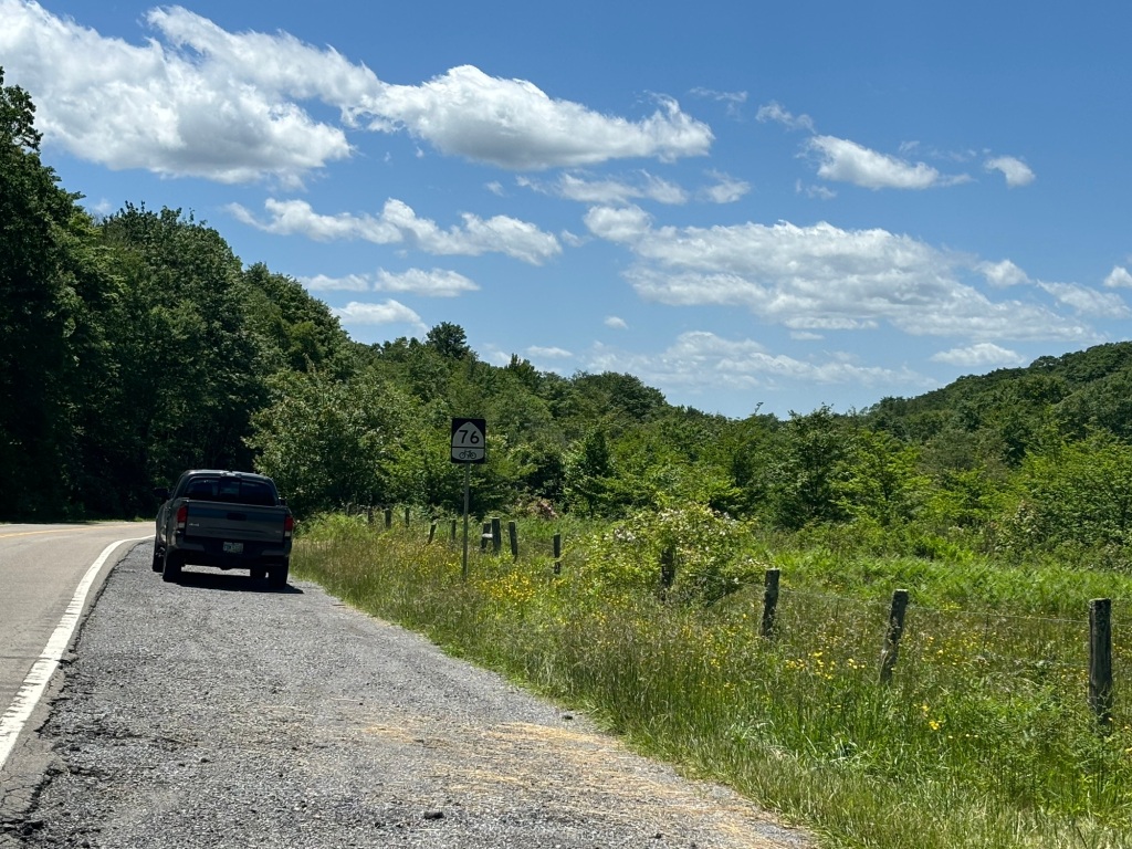
I was now headed south toward Cedar Springs and Sugar Grove. Gradually I was gaining more elevation but I really didn’t notice. The wind was no longer on my face and I was locked in. I call it The Trance.

I was buzzing along on this two-lane country road, admiring the scenery and chatting with the cows and goats and horses grazing near the roadside. I look up and there are two cars coming toward me in the other lane. A third car starts to pass them in my lane!

The driver was an old lady with a permanent, white hair stacked up on her head like a helmet. She was taking her time. Coming right at me. No worries. I pulled off the road onto a mowed lawn. Old lady never blinked an eye as she drove by.

I could do this all day

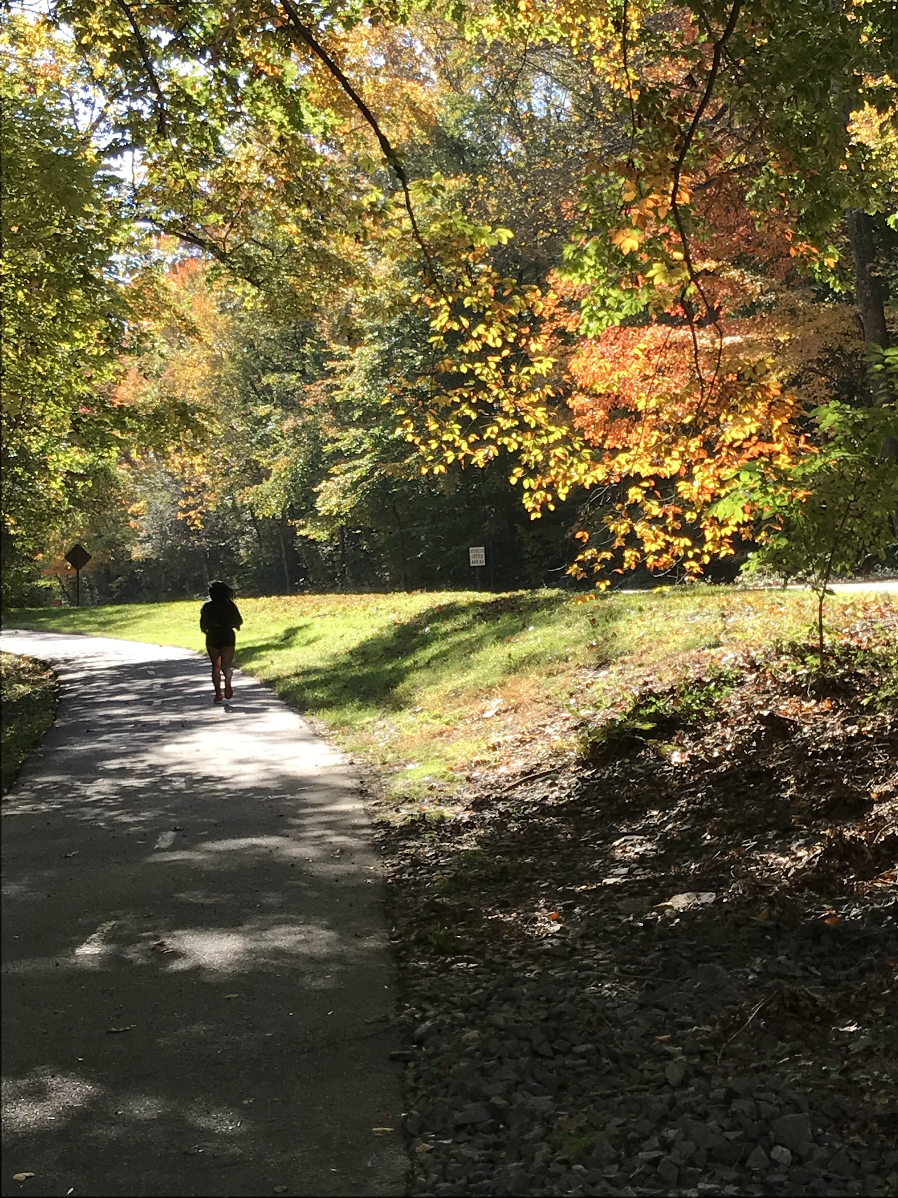
At Sugar Grove I started the six-mile climb through the Mount Rogers Recreation Area to Troutdale. The ride wound through a beautiful forest. The grade was gradual. I just kept buzzing along. A raging creek and wild pink flowering bushes running along the road. My legs never tired. I stopped at the top for a snack then flew down the two-miles to Troutdale. Big fun.

Wow. Just Wow.

I arrived in Troutdale at 1:15. I’d ridden 38 miles, the weather couldn’t have been better, and my mind and body were ready for more. What a contrast to yesterday.

Make it stop!

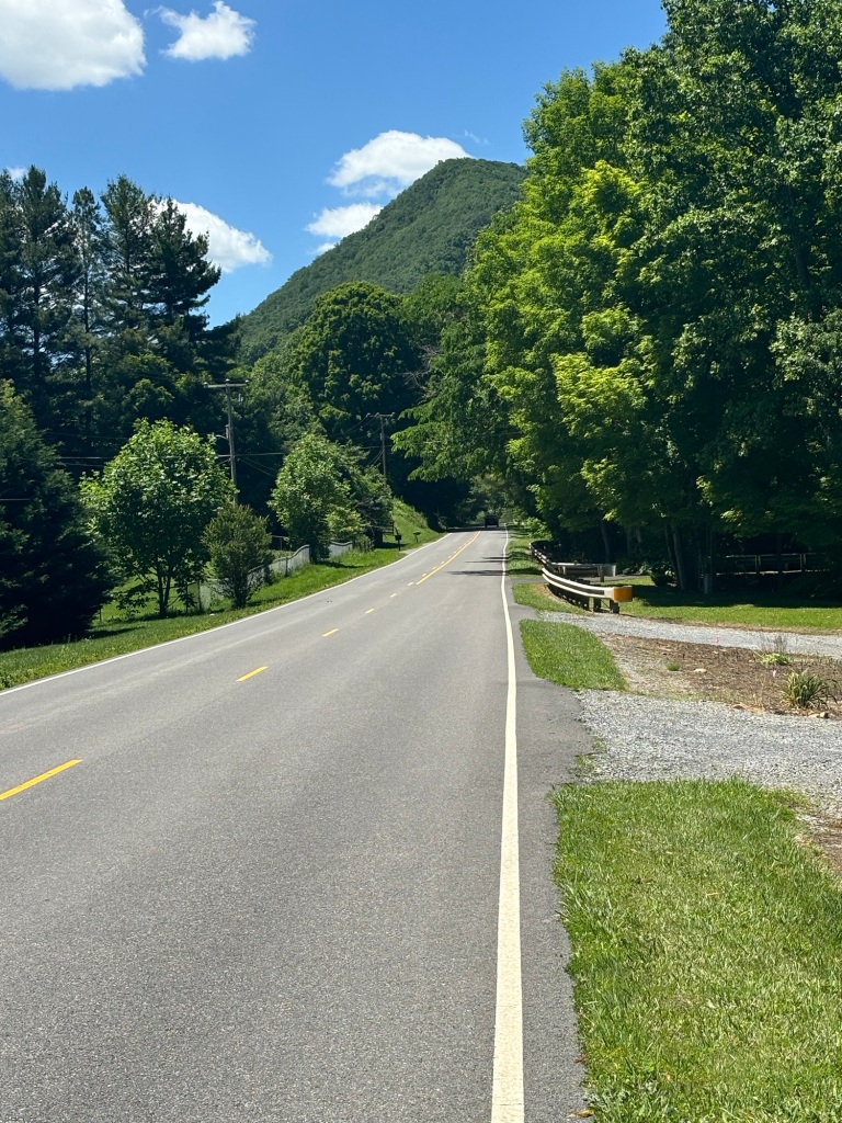
I was at about 3,500 feet before the descent to 3,000 at Troutdale. I decided to ride 23 miles to Damascus. More gradual climbing to 3,700 feet then a couple more short climbs. None of the climbs bothered me in the least. I was cookin’ with gas. And the scenery was perfecto.

I could have taken dozens more but I didn’t want to spoil my downhills

I had the option to ride the Virginia Creeper Trail for the last 13 miles into Damascus. I didn’t bother. The road was a total blast, gently winding this way and that down to Damascus at 2,000 feet.

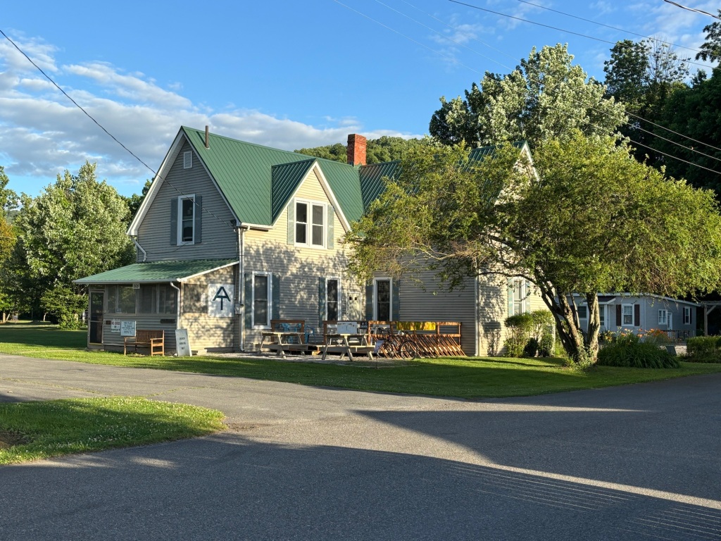
I’m staying at The Place, the first hostel to cater to hikers on the Appalachian Trail. It has been welcoming TransAm cyclists since Bikecentennial in 1976.

This must be The Place. The Mule abides.

I am two miles from Tennessee. I’ll save that state for a Natchez Trace ride in 2025.

Tomorrow is a short ride to a church hostel in Rosedale. The midway climb over Hayter’s Gap is 1,500 steep feet. These boots are made for walkin’.

I’ve booked a room at the lodge at The Breaks Interstate Park on the Kentucky border for Sunday.

Thanks to all the readers who bolstered my spirits after yesterday.

Miles today: 59

Tour miles: 668.5

The Mo Mo Mo Tour

It’s been six days since illness stopped my tour. I am feeling a whole lot better, not 100 percent but close.

On Monday I did another 30-mile ride on The Mule, again unloaded. Two miles in, I rode up Rebecca Drive, a challenging hill with steep bits. No problem. My legs didn’t tie up at all. I rode 13 miles to the Pentagon at a much faster pace than I planned. I felt great. Along the way, my chest congestion started to break up. Eww. I turned for home and hit a 10 – 15 mph headwind. I’m such a sucker for a tailwind. Still, I made it home in good shape. When I got home, I started re-packing.

Yesterday, I decided to test my endurance. I rode Big Nellie, my recumbent, 30 miles in perfect weather. No hills, just cruising around Mount Vernon. After I arrived home, I mowed the lawn. I finished mowing without crashing and burning. I would have finished the trimming but the skies opened up. I felt fine afterward. Frankly I was a little surprised.

Today, I took Big Nellie out for another ride. This one was flat and easy. It only lasted 23 miles before storm clouds chased me home. It poured five minutes after I went inside. I still have some lingering sinus aches and my chest is a tad congested but I feel much, much better.

I finished packing, making some further adjustments to my load. I added a chain break tool. I subtracted my saddle wrench and my bear bag. I swapped out my big sleeping bag for my lightweight REI sleep sack and a silk liner. I doubt I’ll encounter nighttime temps under 50 degrees. This arrangement only weighs a few ounces less but it’s much smaller.

The plan is to ride back to the scene of the crime, Charlottesville. My route last week was the height and base of an right isosceles triangle, 238 miles. Instead of re-tracing that route, I’m taking the hypotenuse, a straight line from Mount Vernon to Charlottesville through Culpepper, about 125 miles. That’s 75 miles to Culpeper and 50 to Charlottesville, both are Amtrak cities so no worries about a relapse. I’ll be staying in hotels both nights. The weather forecast is perfect.

After Charlottesville, I plan a short, 35-mile day to the Cookie Lady’s house in Afton. This involves the start of the climb over the Blue Ridge. The next day will involve getting to the top of the Blue Ridge, another 30-mile day, if I stop at a campground in Love, Virginia. If I am up to it, I can descend the west side of the ridge to Vesuvius or maybe Lexington where hotels await. After that it’s down the long neck of southwestern Virginia where I’ll have amble church hostel opportunities.

Realistically, I’m taking this slow. One day at a time.

Emilia and the Red Caboose

Yetserday, I rode the Great Pumpkin Ride in Fauquier County, Virginia with my friend Emilia. This was our fourth ride together. Our first ride together was the 2014 50 States Ride. She had a rough time. We did it again in 2017 and this time I had a rough time and she, despite missing several climbing gears, flew up the hills. She weighs about half what I do so it was reasonable to assume would bury my sorry old ass on a sod farm in the hilly Virginia Piedmont.

Lucky for me, the last ride she did was the New York City Century back in early September. Unlike me she skipped breakfast. So on an empty stomach and with legs that hadn’t spun a pedal in seven weeks, she insisted on riding the long, 67-mile route yesterday. She’s pretty tough.

We lined up next to the red caboose at the start/finish line. Soon we were off down a rail trail then onto country roads where we were treated to rolling hills, 60 degrees, calm winds, cloudy skies, and the occasional sprinkle as we cruised through the rolling terrain at between 12 and 13 miles per hour. The foliage was close to peak and every so often we oohed and aahed at natures show. The lifestock in the fields seemed utterly (pun intended) uninterested in our passing. I explained that during my ride across the northern plains last year, I could get cattle and horses to stampede. Their Virginia cousins were having nothing of it.

The police warned us not to ride side by side so Emilia followed close behind me for most of the ride. She rides a bit closer to the edge of the road than I prefer so there was little chance that we’d overlap wheels.

Emilia’s native language is Spanish. I take advantage by quizzing her about useful phrases that I typically forget. Mostly we just rode and listened to the voices inside our heads. It’s nice to have a riding partner who appreciates that.

IMG_3277
Just trees and hills and fresh air


Thanks to her layoff, we rode at exactly the same pace for nearly the entire ride. She’s a vegetarian and needed no prodding when we came to the first rest stop 19 miles into the ride. There she gorged herself on a thin slice of cinnamon bread and half of a banana. I noticed she had barely touched her water bottle. I thought “no bueno” but she was perfectly happy with her food and water intake.


We rode another 22 hilly miles before finding the next rest stop.  She was laboring a bit at this point so she gorged herself with a thin slice of pumpkin pie and a wee bag of potato chips. Then off we went.

IMG_3282 (1)
Emilia after pumpkin pie

The next thirteen miles were a bit hillier. I noticed at mile 50 she was laboring up a hill. Her thigh muscles were cramping. Her water bottle remained nearly untouched. No bueno. We slowed a bit and forged ahead. At an intersection with a busy highway she had trouble unclipping from her pedals and wobbled into the cross road. Fortunately no cars were coming but she knew that the little incident could have been bad news. I could see on her face that the layoff since early September was taking its toll. She was pretty tired.

The route to the final rest stop is out-and-back for about 2 1/2 miles. We saw riders returning from the rest stop turning toward the finish. Emilia did not have a cue sheet in front of her and got rather animated about following them. I briefly considered skipping the rest stop. That would have risked seeing her bonk all the way to the finish so I explained we needed to get some food in her and forged ahead to the rest stop at the Old Bust Head brewery.

Once there, she had pie, three small cheese quesadillas, a small portion of tater tots, a cup of pumpkin soup, and two cups of Gatorade. Smiles.

“Ok, John, I’m ready.”

Crisis averted. As we rode I counted down the next few miles.

12!

11!

Only tell me the single digits.

How do you say nine in Spanish?

Nieve!

Ocho!

She fell back on a hill, caught up, then fell back again.

Are we at seven?

No. Cinco!

You’re kidding.

No.

Big smile.

A few more hills and we found ourselves on the rail trail back into town. It always seems longer that it actually is. Emilia started looking for the caboose.

And there it was after 67 hilly miles.

IMG_3284 (2)
Emilia, her steed, and the caboose

Tired but todo sonrisas.

We hope to ride again next Saturday at the shorter and flatter Cider Ride in DC. There will be no caboose but the donuts and cider and pie will make up for it.

Fall in Mount Vernon

After an early morning recon ride in the car with Mrs. Rootchopper, I went back on my bike to take some pictures of the local fall foliage. Fort Hunt Park has several maples that put on a show for about a week every autumn.

IMG_0637

And with the river, the foliage, and the angled sunlight, the Mount Vernon trail is simply beautiful.

IMG_0639

IMG_0641

There are a few more on Flickr.

No Way So Hey – Day 33

The day was taken up by a long train ride. I wondered why the train takes about 25 hours to go from Ft. Lauderdale to DC. The reason is that instead of going straight up the coast, it cross crosses Florida. I should have packed some food for the trip. I subsisted on Cafe Car food, mostly hot dogs.

I managed to get about 4 hours of sleep. I could have gotten more but for the chatterboxes sitting in the row behind me.

When I got to DC it was a simple matter to take my bike from the conductor in the baggage car. My checked bag contained my tent, sleeping pad, clothes, bike shoes, and one big pannier. One of my small panniers was nested in the other big pannier as a carry on. I also carried on the second small pannier and my handlebar bag.

My front tire had a slow leak since Key West. It was quite soft when I was all loaded up so I took the bike to the Bike Station run by Bike and Roll just outside Union Station. They let me fill up the tire with air and a water bottle with water. And away I rolled.

My sore ribs were giving me a hard time. Every bump caused a jolt to my chest. I stopped to take a picture a few miles from home and the pain almost kept me from dismounting. I am considerably thinner than when I started this tour a month ago.

Image may contain: 1 person, sky, outdoor and nature

Riding the bike on familiar ground, proved two things to me. First, this bike was a tank, And, second, I am a MUCH stronger bike rider than when I started.

After a final 15 1/2 miles I made it home. For the entire tour, door-to-door mileage was 2,127.5 miles.