Any Road Tour: Day 34 – Montana beatdown

After a healthy breakfast of cold pizza, I packed up and rode to the town food market. It wasn’t open until 10 am so I bought a gas station sandwich and bid Circle farewell.

Oh, they have dinos around here.

For the third day in a row I had headwinds but at least I had level ground for a few miles. Then the rollers started. Up 200 feet down 200 feet. Repeat for 60 miles.

To make things interesting the road had expansion joints every 10 or 15 yards. It was like hitting thousands on mini speed bumps. Also there were no services along the route except for a rest room at the half way mark.

It was a two lane road with a 70 mph speed limit. For those of you who thought riding on the interstate was dangerous, I say “Pshaw!”

Up. Down. The wind would stop midway through a climb only to smack me as I crested the hill. All day long.

I had to bail on a climb when an overwide farm machine passed me.

A bike tourist named Dale came from the other direction. We stopped and talked for a half hour. He came from Seaside Oregon, through Portland, and Missoula. He said the road over Rogers Pass is closed from flood damage. He was stuck for days before a pilot of a single engine plan gave him a lift over the mountains!

I told Dale to keep an eye out for Martin who left Circle a couple of hours after me.

The last three miles into Jordan were mercifully flat. They lasted forever. All I wanted was to put up my tent and get off my bike. I rode around looking for the town park not believing that the postage stamp park with a pit toilet was my home for the night.

I had dead legs all day today. I’ve just done too many long days without a break. I need to do some cogitating about my schedule. I started peeking at return flights from Portland and Seattle. It looks like Tuesday July 23 is less pricey and fits my itinerary. I’ll wait until Missoula to book the flight though.

If Rogers Pass is still closed I have two options. Ride north and pick up the Northern Tier Route. This would be pretty but if any roads get closed I’ll be stuck. Alternate routes go through Canada and I didn’t bring a passport.

Option B is to ride interstates to Helena and Missoula. It may not be scenic but it will be fast because the road surface is good and there are no steep climbs.

Final good note: Tater tots are called gems in Montana.

Miles: 69

Total miles: 2,542

Any Road Tour: Day 33 – Headwinds to Circle

Last night I learned that Wibaux has its own microbrewery and it serves pizza. I walked into town to partake. The pizza was very small but delicious. I decided that in lieu of dessert I would have another beer. It was muy bueno.

So if you’re ever in Wibaux try the Pale Ale.

After a sumptuous breakfast of Froot Loops and toast I hit the road for the 30 mile ride to Glendive. The first 5.5 miles were on the interstate. It may sound odd but riding the interstate is actually enjoyable. You get a massive paved shoulder protected by rumble strips. And the grades are gentle. Sadly the interstates still get headwinds.

I left the interstate for 12.5 miles along Ranch Road. This road goes through massive cattle ranches. They don’t seem to have all that many cattle though, but the views ain’t bad.

After another 7 miles on the interstate I took an exit and turned left into Glendive. Had I known better I’d have taken a right to go to a restaurant to top off my fuel tank. Downtown Glendive was all but abandoned. I crossed an old railroad trestle, festooned with flags. It had been turned into a bike/ped bridge over the Little Yellowstone River. The park on the other side in West Glendive was having a show-off-your-old-car event.

Not seeing any 1991 Specialized Sequoias I moved on. I found a gas station and sat down to a fine repast of shrink wrapped sandwich, corn chips, and soda. While eating I read the diesel pump: 146 gallons. $452. I wonder if the vehicle had solid rocket boosters.

I made a decision to continue on another 48 miles to Circle. I knew there would be increasing headwinds and rain but the greater Glendive metropolitan area wasn’t floating my boat.

The next 21 miles were a gradual uphill, I went from about 2,100 feet to 2,700 feet. It was as slow going, about 9 mph.

In Lindsay the maps I have said there was a gas station convenience store. When I got there it was closed. It was a good thing I stopped in West Glendive.

The next 9.5 mikes were uphill, another 500 feet. Out here in the plains you can see weather from miles away. I could see that I was riding between two large storms. I could hear thunder. I ate a two-day old peach then u stopped to put on my rain jacket. Down came the rain. I didn’t mind since it kept me cool and took my mind off the increasing headwinds.

By the time I reached the peak, the rain had stopped and I was dry. The downhill to Circle would have been awesome but the wind spoiled the joy.

I was pretty happy to see the town of Circle. It has an old motel that has free WiFi and shag carpeting.

When I checked in I learned that Martin, the Swiss bike tourist I woke up in Gackle after my 136 mile romp from Fargo, was also staying here. We got together for dinner in town. I had pizza and beer. (I bought enough for breakfast.)

Martin is taking the Northern Tier route from here. I’m taking the more southerly Lewis and Clark Route.

There are no services between here and the next town called Jordan. It should be interesting.

As of today I am 4 days ahead of my planned itinerary. I expect to give at least one back to headwinds.

Also, in the next few days you may notice that the URL for this blog has become Rootchopper.com.

Finally: does anyone know what this is?

Miles today: 78

Miles so far: 2,473

Any Road Tour: Day 32 – Badass in the Badlands way

Before we begin today’s tale, I need to clear up something from yesterday. I did indeed cross into the Mountain time zone late yesterday.

Last night I splurged for a decent hotel and had dinner at a sit down restaurant. Salad and jambalaya. The portions were huge. The walk back to the hotel was mostly a waddle.

At hotel breakfast this morning I met Peggy an Jeff who were traveling to Milwaukee by bike. They are known on Crazyguyonabike as PB&J.

The way west was aided once again by a mild tailwind. I must have been good because Bike Santa is sure being nice to me. The road climbed gradually and rolled a big bit I was having no problems. Then I realized that’s The Mule had achieved a milestone coming out of Dickinson.

The number and size of buttes increased today as I rode west. I startled a pheasant in the tall grass next to the road and he blasted up and away. I also spotted another fawn.

Frankly I thought the green hills and buttes were quite pretty. After a few miles the route took me into I-94. The shoulder is paved, ten-feet wide, and has a rumble strip so I felt very safe. Interstates tend not to have steep hills which made my legs happy.

I noticed the soil near the road was not brown. Instead it was white like a sandbox or gypsum in wallboard. I spotted a couple of cool looking mesas in the distance. Then I went around a big grassy hill. When I came to the other side of the hill I saw it. The Painted Canyon of the Badlands in Theodore Roosevelt National Park.

Not only had the terrain changed in what seemed like an instant, but it was spectacularly beautiful. I rode to the scenic overlook, parked my bike, and walked around for over a half hour.

The road to the scenic overlook contains a cattle guard, a metal rumble strip that catches the feet of large animals. The large animal here is the buffalo. Sadly I didn’t see any but when I got back on the interstate I could hear and see prairie dogs. (No pictures though because I was going downhill.)

I left the interstate to visit Medora, a funky western town that looked cheesy to me.

I stopped at a pub for lunch, a steak salad. Delish.

When I started up again the wind direction had changed. The headwind increased in intensity for the rest of the day as a storm passed through, mostly to the south and east.

Also the hills increased, or seemed to. A bike tourist zoomed by me in the opposite direction. He waved as told me that the food in the gas station in Sentinel Butte was great.

This gave me something to look forward to as I fought the wind and the hills. It also began to rain, not hard but the raindrops were big and cold.

I stopped at the gas station that looked like the one in Mayberry. Inside three men were packing up a burgers and snacks lunch. They offered it to me but I had eaten only a couple of hours earlier. Instead I asked for some ice cream. One of the men paid for it. Then another mad opened up a container on the table. Cookies. I had one, again for free.

Heading west was one big hill then a long downhill through rollers to the town of Beach. Here the route took me back to I-94. And the storm started building over me. Fortunately the road began to angle to the northwest. Into Montana. Note the selfie path.

There were two signs that just might have been related.

For the last five miles I had a strong tailwind. Despite very tired legs I flew along at 17 miles per hour until I exited the freeway at Wibaux. All the rain had convinced me to grab a hotel. I found one just outside of town in a gravel road. No lie.

Time to take the gas station dude’s recommendation and head into town for some pizza and beer.

My thanks to the people of North Dakota for a pretty awesome week that began with colorful ASL bike racks and ended in jambalaya and gas station freebies.

Miles today: 76

Total miles: 2,395

Any Road Tour: Day 31 – A dirt road and a gift brick

The day began with me wondering how I’ve finally gotten used to sleeping in a tent.

I broke camp and headed to the local diner which was on the short side of mediocre but the only game in town.

I sat at the counter and talked with an old man who spent his life making drag lines. I looked it up later. Suffice it to say, drag lines are one of those things you didn’t know had a name but are used in big construction projects.

Off I rode after bidding adieu to Salem Sue who is one of those inexplicable roadside attractions that make America surreal.

The route goes on I-94 but most people take a dirt road instead. The shoulders on I-94 are 10 feet wide and paved. Some genius at the North Dakota DOT put rumble strips across all ten feet. If you rode the entire 10 miles of the route on this, you could forget about having usable personal parts for a year or two.

The dirt road was a little bumpy. I was concerned about breaking a spoke so I took my time. The scenery was splendid. Whoever said North Dakota is boring got it totally wrong.

One downside to the dirt road was the cloud of dust that was kicked up by passing trucks. I pulled out my bandana, which I had hoped to use to rob a bank. There were no banks just my rather delicate lungs.

Along Big Dirt Highway I passed my second Twin Buttes. I figure if both DC and Baltimore can have a Washington Monument, North Dakota can have two Twin Buttes. This one did not have an ugly McMansion in the middle.

The scenery was pretty and interesting (to me at least) wherever I looked

Once back on pavement I rode into Glen Ullin where I snacked in the shade of a gas station convenience store. Up pulled an eastbound tandem pulling a trailer. Gail and Bill Buckley were riding to somewhere on the New Jersey shore.

Back on the road the ranchland gave way to farms. I guessing this yellow stuff was mustard. (Post tour note: It’s alflafa in bloom. Pollinated by the bees owned by the owners of the Honey Pot bike shelter in Gackle.)

I rode into Hebron and saw bricks being staged for transport on trains. I went into Pizza Pantry and had lunch. As I was paying the proprietor, gave me a small brick so that I’d always remember the Brick City. We agreed that it would be too heavy to haul all the way to Seattle so we settled on him taking my picture with it.

The road to Dickinson passes through Taylor. I saw an interestingly weathered old building with a note on the front door. Condemned. As I read the note I could see that the structure was crumbling away.

The last ten miles featured a hill that went on for miles. At the top we’re two geodesic domes under construction. They looked a bit like the space ship from Lost in Space.

Dickinson is a bustling town of about 18,000 people. I decided to check into a hotel to clean up and do laundry. Then I went out and had a massive dinner of salad and jambalaya. I can barely move.

Medical update: The compression sleeve did the trick. My left calf is now almost back to normal size. It doesn’t seem to like confinement though. It’s been itching and sending me little pain shocks all day. Small price to pay, I suppose.

Sociology observation: The people of North Dakota are incredibly polite. It’s a bit hard to get used to. Also, they are whiter than a cue ball, both in terms of complexion and demographic make up. I’ve seen one person of color since Morehead Minnesota.

Chronological note: My maps said that I crossed into the Mountain Time Zone after Hebron but the next set of maps says the time line is the Montana border. Either way my body is still inexplicably on Eastern Daylight Time.

Miles ridden: 73.5

Total tour miles: 2,319

Any Road Tour: Day 30 – Nothing up my sleeve

After last night’s dinner (I had the Fatty Burger), I slept like a rock. Except for waking up with s cramp in my swollen left calf that nearly sent me through the ceiling of my tent. Dang that hurt. Oh and there were the three other times that the compression sock on that leg caused my Morton’s neuroma to flare up. This feels like a nail is being shoved into your foot.

Nine hours of semi-restful sleep later I awoke to bid farewell to Peter and Gregg as they headed east. An hour later I was heading west after a healthy breakfast of two pop tarts. I had 45 miles to go until the next store st Bismarck so what could go wrong.

I munched in Gardettos snack mix from time to time as I negotiated the curving rolling hills.

More and more crops are giving way to cattle ranches. I looked forward to Twin Buttes that was indicated on my map. They weren’t twins (one was bald, the other covered in vegetation). And there was McMansion in between them. Location, location, location.

The picture makes it look like Uluru but it’s not a tenth they size.

My destination for the morning was the trauma center at Sanford Hospital in Bismarck. Before going in I stopped st s sun sandwich shop for second breakfast. I was handed s scratch off card and won a second sandwich.

I walked into the ER and there was no line. After getting a room a nurse told me that the place filled just after I came in.

I was given a Doppler ultrasound on both legs. The doctor poked and squeezed my calf trying to find some area of sensitivity. Nothing. The ultrasound showed no DVT. The doctor told me to wear a compression sleeve on my calf and sent me on my way.

I decided to press on to New Salem for the sole reason that it was only 23 miles away. A nurse said the area was part of the Badlands but I looked it up. This area is topographically similar but much too green. One massive cattle ranch after the next.

To get there I crossed the Missouri River. Woot!

The ride featured significant climbing but I kept at it and arrived in New Salem at 6:30.

Once in my tent I realized that I intended to ride only as far as Mandan which is across the river from Bismarck.

When I left camp this morning I expected to lose a day to my schedule. Instead I gained about a third of a day.

Miles today: 81.5

Total miles: 2,245.5

Any Road Tour: Day 29 – Recovery is for wimps

Martin woke me at 6. I suppose it was only fair since I woke him after midnight. He headed out before I got out of bed.

I lingered to recharge my electronics. Then hit the road. There was no breakfast to be found in Gackle so I rode 12 miles, including 5 miles off route, to Streeter. They had no cafe and only a poorly stocked market. I bought two apples and a chocolate chip cookie ice cream sandwich. Bike touring diets are strange, what can I say?

The road was actually quite hilly in sections, not exactly what my dead legs needed. In one marshy area the bird life was going nuts. I slowed to listen to their little symphony.

It seems like every day I see a new animal. Today was pelicans.

I rode by many herds of cattle. If you call out to them and say “Let’s go!” they’ll start running along side you. One herd got rambunctious and practically stampeded. Layer in the day I had horses galloping with me. They must have recognized The Mule.

And there were crops. So many. Most fields around here have rocks in them. Some farmers make stacks of rocks. This farm had just cut its hay (I think).

The uphills finally ended and I was given the benefit of a few miles of downhill.

At Hazelton, I grabbed a campsite next to Peter (from Maine) and Gregg (from Boise, Idaho). They met on the road and seem to be well matched by the bike tour gods. We all went out for dinner and ate way too much.

Miles: 71.5

Tour miles: 2,164

Medical note: My left calf ballooned today. It doesn’t hurt and I am breathing normally but it does not look good. Bismarck is about 40 miles away. If it looks like this tomorrow, I think I’ll swing by an ER.

Any Road Tour: Day 28 – Bury me not on the lone prairie

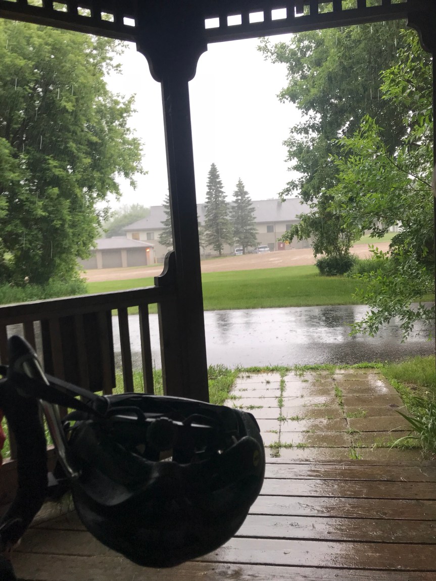
It turns out that Terri, my Warmshowers hostess, is my sister from another mother. She’s crazy about Brandi Carlile and loves everything bagels. We talked about the former last night and I had the latter for breakfast in her kitchen this morning. I lingered a long time, first chatting with Terri then with Drew, Scott, and Poppy.

I rolled out well after 8 and headed to the post office to mail back some maps.

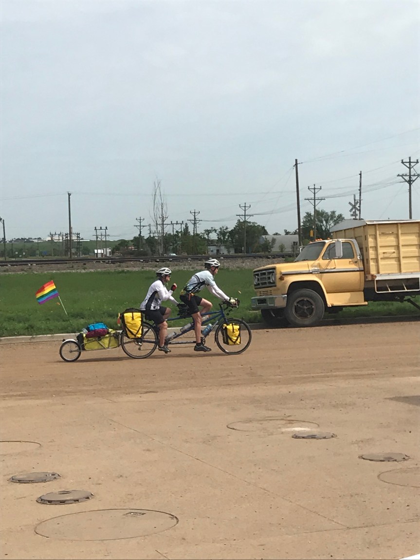
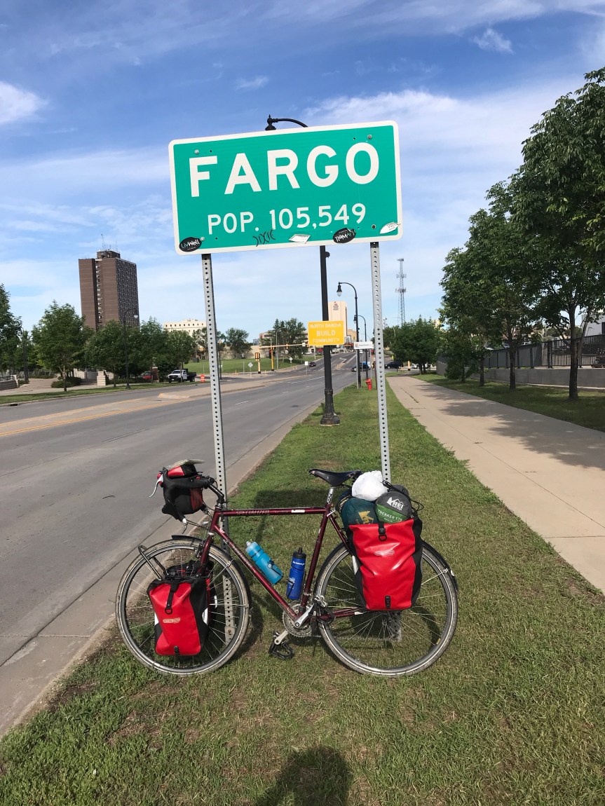
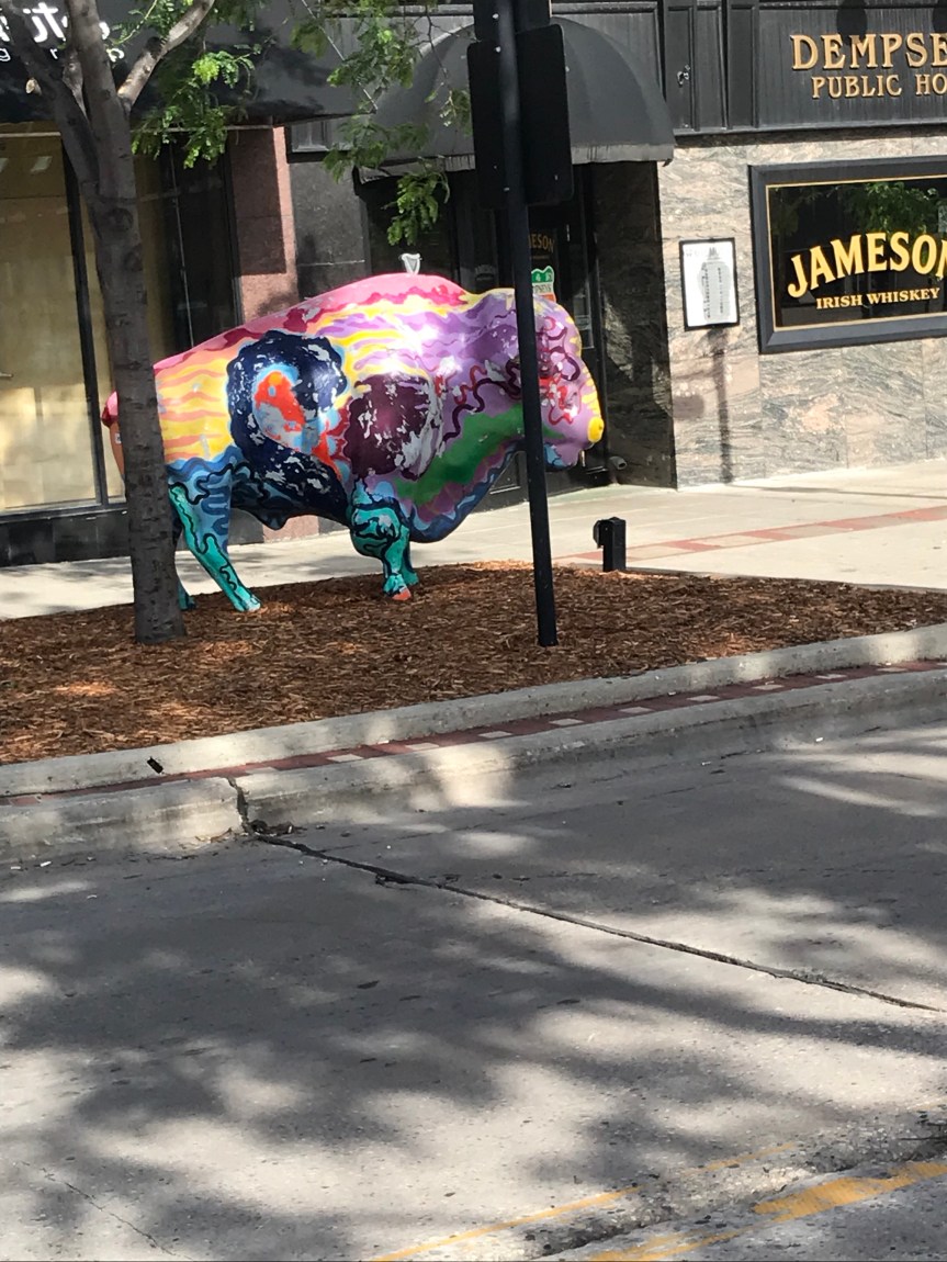
Then I ride across the Red River of the North into Fargo. I was expecting a run down place with weathered buildings but I was pleasantly surprised. All the old buildings look like new. Flower baskets hang from street light poles. Trees and greenery abound. I even got stuck waiting for s couple of trains on my meander.

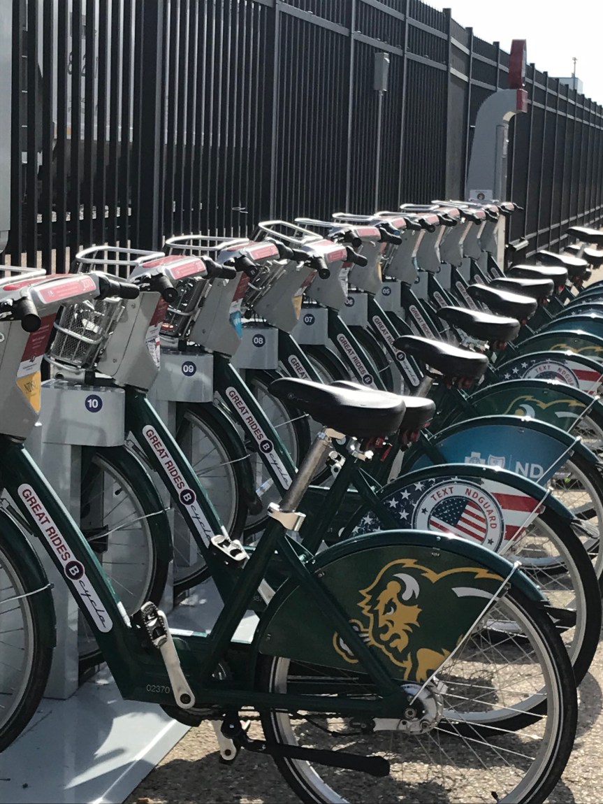
I am embarrassed that I didn’t recognize that the colorful bike racks below spell “Fargo” in ASL.

I headed south out of town with a nice tailwind and turned west near Horace. Drew told me that the big crops around here are barley (for beer) and sugar beets.

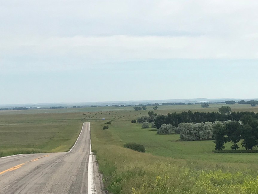
This is what I saw for the rest of the day.

I met Tim on the side of the road outside Kindred. He’s riding the Northern Tier in chunks because he’s otherwise busy running a couple of businesses in Sandpoint Idaho. He gave me lots of information about the roads out his way and invited me to stay at his place in Hope Idaho later in my tour.

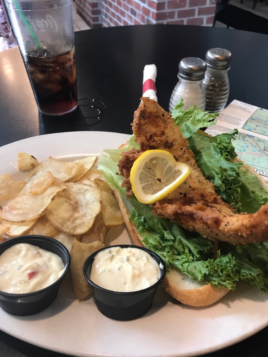
Tim and I talked for a half hour. I rode into Kindred and had a noontime breakfast at the cafe he recommended.

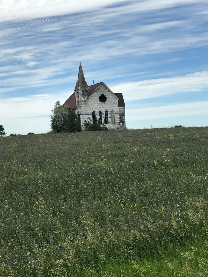
The high plains are known for their abandoned buildings. This one caught my eye from the highway so I rode down a dirt road to get a better look.

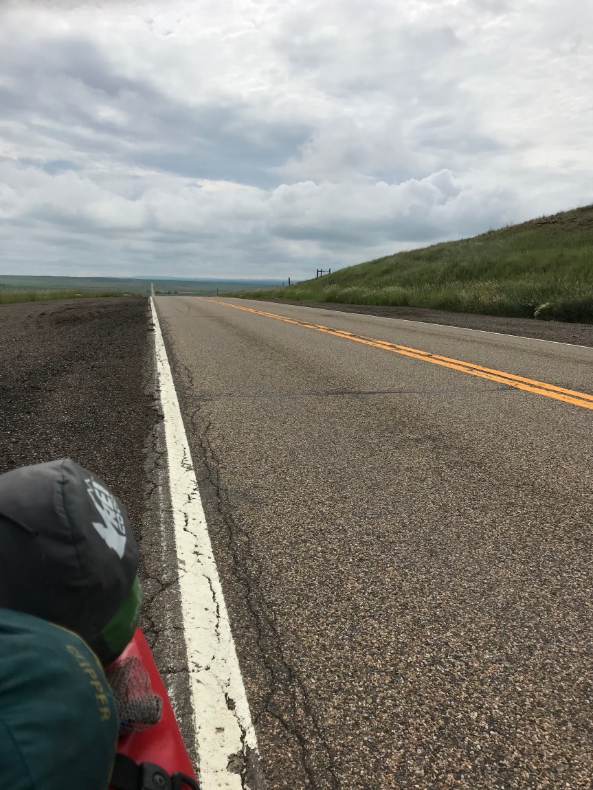
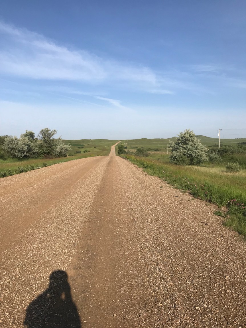
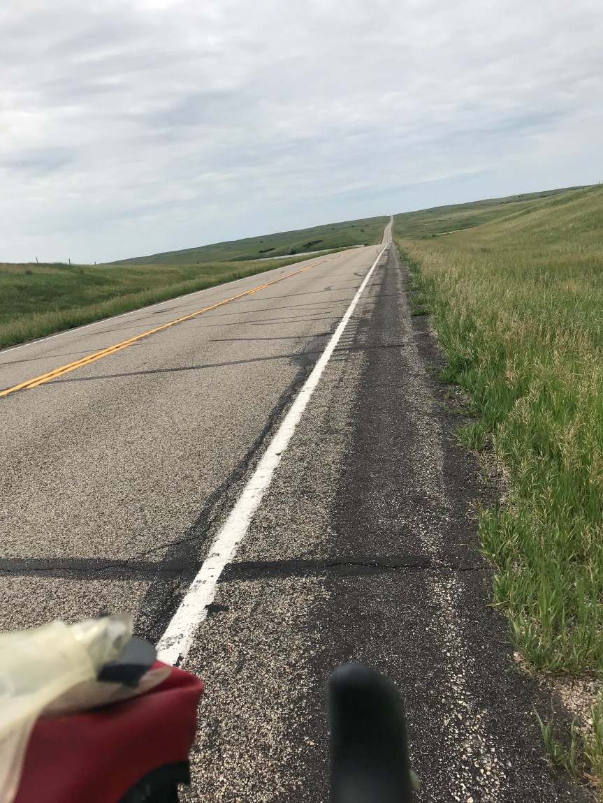
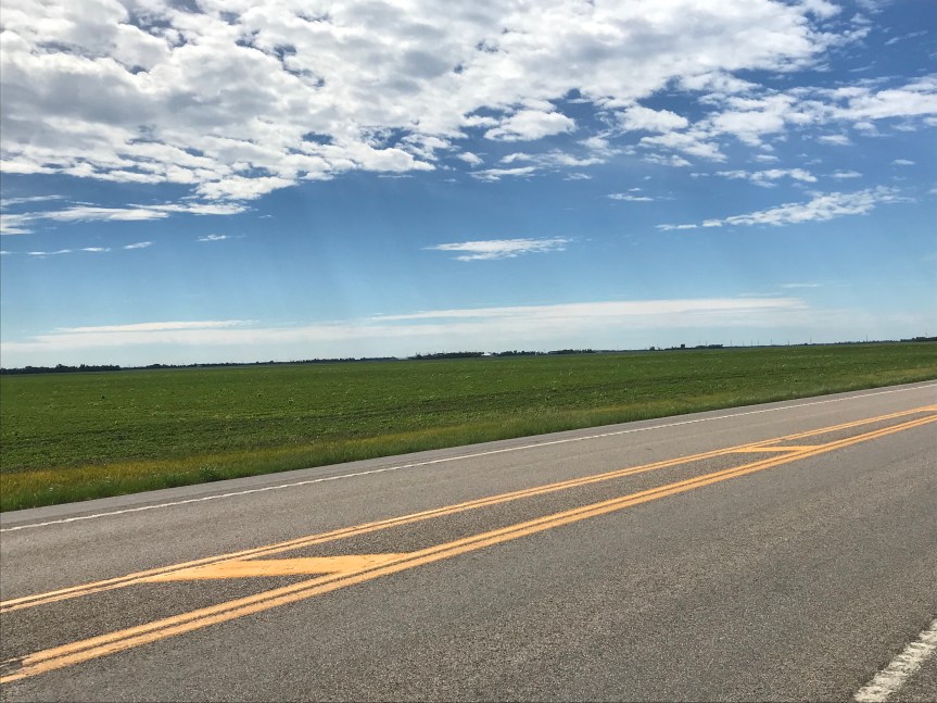
The route took me straight west for miles and miles. The wind was pushing me along at 14 miles per hour.

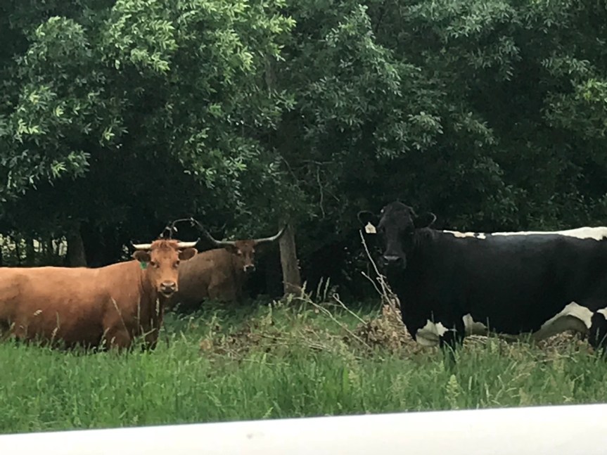
Along the side of the road I saw a wild turkey just hanging out. Wildlife is random out here.

At Enderlin I stopped for a late lunch. The cafe was also a thrift shop. I had a hot roast beef sandwich that filled my tummy.

After my meal I stocked up on water and food at a gas station convenience store. My maps said there were limited services for the next 78 miles. (Mostly this meant there were no toilets.) I arrived at Little Yellowstone Park, a roadside state-run campground, around 4:30. It was clean and empty. I decided that I’d do something a little crazy. I was going to run the deck of the rest of those 78 miles!

First I had to climb a big hill in my granny gear. On the way up I startled a doe and she dashed from the tall grass along the side of the road. Ten yards later I spotted a fawn nestled in the grass checking me out.

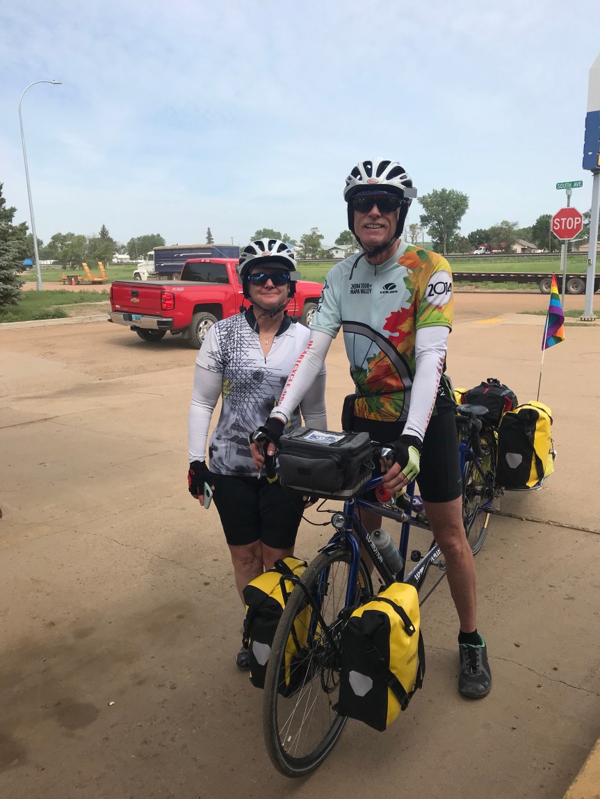
Five miles later I came upon Emily and Jay who were riding Bruce Gordon bicycles from Bend Oregon to Boston. (Crazyguyonabike.com/doc/bend2boston)

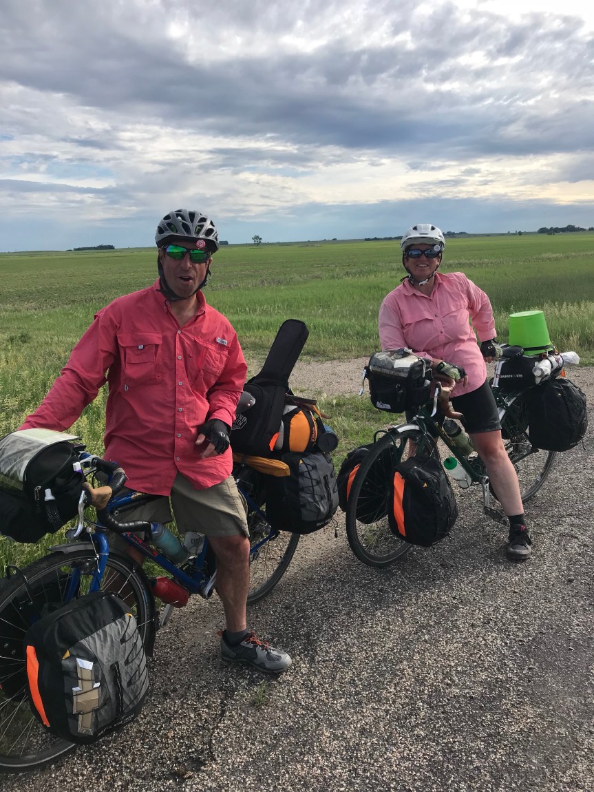
We talked for 20 minutes or so before parting. They had stayed the night before at the Honey Pot in Gackle. That was my destination. I expected to get there no later than 10.

Then the winds died. No tailwind. I just rode and admired the sound of the noisy critters on the prairie. Just before sunset they get LOUD. The birds made R2D2 sounds. There was one in particular with an orange head and splashed of white on its shoulders that stood out both visually and aurally.

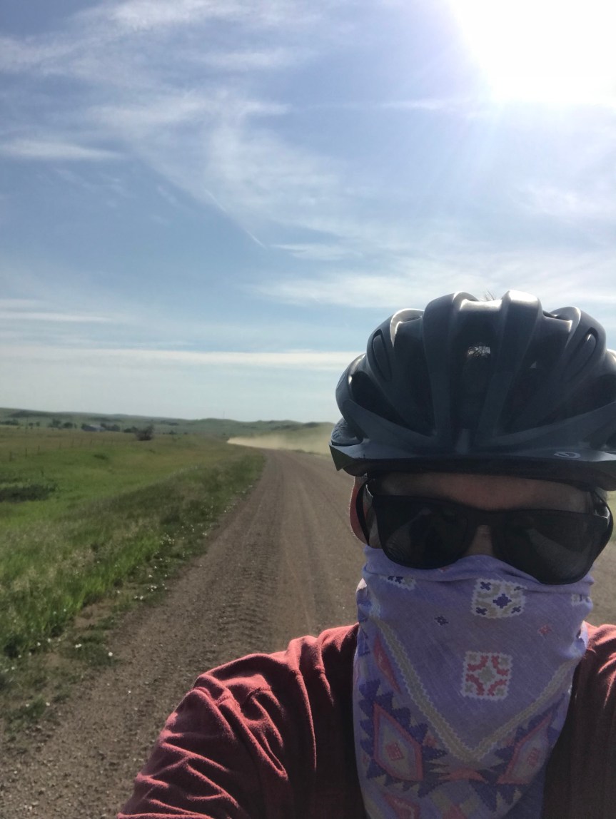
Each time I stopped I was engulfed by swarms of mosquitoes. These and other flying bugs would get caught in the sunscreen and hair on my arms and legs . Emily had talked about ticks so I was clearing off the bugs constantly. Their distraction was slowing me to 9 miles per hour. I finally put on my sunsleeves and a hat for sanity sake.

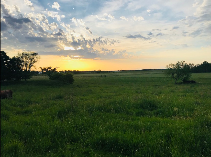
The sun set to the north peeking through overcast skies.

Now it was dark. I toyed with the idea of riding without lights. The heavy truck traffic from the workaday world had ended and I was all but alone. I’d turn my lights on whenever I heard a car coming from behind or saw headlights up ahead. The headlights seemed to take forever to get to me.

After a while I just left my lights on. My ability to sense my environment was now confined to the white circle of my headlight beam. I could have been anywhere for all I could tell. Now and then I’d see a farmhouse’s lights in the far distance but that was all.

I was eating constantly but I was slowing down. I was riding uphill but could only tell when my pedaling became labored.

Then came the rain. It was light but added to the lunacy of the whole affair.

At one point I nearly ran over an owl who was sitting in the road admiring his dinner.

This was getting weirder by the mile. Because of the rolling terrain I didn’t see Gackle until the last half mile into town.

I arrived at the Honey Pot just after midnight. I woke up Martin, a Swiss cyclist bound for Seattle. He returned the favor by waking me in the morning.

Happy trails Martin.

Earlier in the day I learned that Tom Gjelten of NPR had begun a 70th birthday ride from the Oregon coast to Massachusetts. Around our house, Tom is known as Jake’s stepdad. Jake and our son went to high school together. I hope to see him in a couple of weeks.

Total mileage: 136.5 (smashing my personal record of 118)

Tour mileage: 2,092.5

Any Road Tour: Day 27 – Headwinds to Morehead

I survived Fergus Falls. Torrential rain and swirling winds were lit up by incessant lightning. I’m not at all sorry that I didn’t camp.

Main Street in Fergus Falls looked like s snapshot of my the 1950s.

The road northwest was, well, a road. No more bike trails just The Mule, me, some rolling hills, and 10,000 expansion joints. Did you know that Minnesota has more lakes than expansion joints? It’s true!

After 18 miles I pulled into a diner to top off my hotel breakfast. They were having a Father’s Day brunch by reservation only. Having not planned ahead for the repast I left.

More hills and lakes for 12 miles until I found Zorbaz, a local pizza and Mexican place. The parking lot was overflowing so I went in to see what the crowd was eating. I immediately grabbed a table and was eating a burrito with chips and salsa within five minutes. They must have heard I was coming.

In addition to rolling hills today featured the first headwinds in a week. And I got rained on which actually felt splendid even in the cool air of the north.

It gets much colder in the winter so people burn a little firewood.

I found a fine place to entomb my wife’s car.

The headwinds were wearing me out as I rolled through Downer. Then it was on to Sabin for some gas station junk food. I think I’m finally tiring of chocolate chip ice cream sandwiches.

As I was leaving two eastbound bike tourists pulled in. Anna and Keith are doing the full Northern Tier from Anacortes Washington to Bar Harbor Maine. We traded intel in the road ahead. I learned that Anna started riding in January. Unreal.

I left the Northern Tier which follows the road grid west then north the west to Fargo. Instead I took a highway diagonally to Morehead Minnesota across the Northern Snake River from Fargo. They have trains out their wazoos up here, many transporting oil from the Bakken oil fields.

I swallowed my introversion and arranged to stay with a Warmshowers hosts. The Trickle family. Terri immediately made me feel like family. Drew and I got into an ugly fight about politics and I started smashing things. Okay, I made that up. We sat around and drank wine in the cool evening breeze on their back patio. Son Scotty came home and poured me a glass of chocolate milk because nothing quite goes with a good Cabernet quite like some brown moo juice.

Their house dates to the postwar era. They even have an old pink built in range in which Terri bakes junk food. I have photographic proof!

Suffice it to say these are incredibly nice people who love hosting bicycle tourists from all over the world.

And so I end my days in Minnesota. On to Fargo, the land of the wood chipper.

Big thanks to Terri, Drew, Scott and Poppy the goldendoodle.

Miles to day: 82.5

Tour total: 1,958

I’m now about halfway.

Any Road Tour: Day 26 – Big Ole and Little Aaron

I checked into a motel last night to avoid thunderstorms. None occurred.

My ride today involved following a rail trail 70 miles to a place called Fergus Falls. Shut brain off, pedal, and be grateful for defunct railroads and favorable winds. (Something like 6 of the last 8 days have had favorable winds. I fear I’ll pay for this.)

Before riding the trail I took a short tour of Sauk Centre. There’s the Palmer House Hotel and a bunch of old buildings from the 20s. I’ll bet it was a hopping town way back when.

The trail goes straight to the northwest. Ahead the sky was dark. I could tell that I was going to get wet but I was more concerned about wind and lightning. In West Union I noticed a gazebo next to the trail. Possible shelter, I rode on. Another gazebo. I rode on. No more gazebos and here comes the rain.

I turned around and made for the last gazebo. Just after I got there a young woman with a 4 year old ran in behind me. Then the skies opened up.

Ten minutes later the storm had passed. Had I left the hotel five minutes earlier I’d have been caught in it. I can’t help it if I’m lucky.

An hour later I came to Alexandria. Our Alexandria has a statue of a defeated Confederate soldier hanging his head and facing south. Minnesota’s Alexandria has Big Ole.

The statue commemorates the finding by a local farmer in the late 19th century of ancient Viking artifacts including a rune stone. This material is believed to be from the 14th century well before Columbus’s voyage. I’m skeptical. But the town isn’t so they built Big Ole.

As the heat and humidity climbed I looked for a cafe to cool off. I found a coffee and ice cream shop in one.

Cone devoured, I was back on the trail for only 6 miles when I saw a steakhouse in Evansville.

The service was slow but the fried walleye sandwich was worth the wait.

A big storm was forecasted to hit Fergus Falls do I had to up my pace. Earlier in the day I had to deal with a trail closure by portaging The Mule over 40 yards of dirt and mud. A few miles from Evansville I got another muddy trail interruption. I slogged through annoyed that I’d have to clear the mud out of my fenders.

Near Dalton, the penultimate town on today’s ride, I encountered Aaron, who is riding from Portland Oregon to Bar Harbor. Maine. We stood and talked for about a half hour, long enough to feed every biting insect around.

With severe thunderstorms nearly certain for the overnight and a tornado watch in effect, I headed for yet another hotel.

Tomorrow is Fargo. Oh gee.

Today’s mileage: 75.5

Tour mileage to date: 1,873.5

Any Road Tour: Day 25 – Wobegon in Sauk Centre

I pretty much go to bed and wake up with the sun. Here is the sky last night just before sunset. Imagine cool breezes and you get the full effect. If you are standing by sideways that is.

img_1416.jpg

After eating first breakfast of PB&J on tortillas, I left Alice’s Attic at 7 am, well before my host was up and about. It was great arrangement and Alice made me feel quite at home.

As I rode away I spotted some of her cattle lying in a field. When I mooed they all stood up and gave me the hairy eyeball as if to say “Can’t you see we’re sleeping?” Here they are last night checking me out.

The next 19 miles were a straight line through farms and fields to Bowlus. On the way I crossed the Mississippi for the last time. It’s a much prettier river up here.

In Bowlus I stopped for second breakfast at

Jordie’s Cafe. One of the cafe’s workers saw me pull up and said “Hi John.” I asked her how she knew who I was and she said she saw my picture on Alice’s webpage. (This was good to know since I don’t need any more worries about my fusiform gyrus.)

Oatmeal, hash browns, an English muffin, coffee, and OJ filled my tank and put a smile on my face.

In the park across the street I called Mrs. Rootchopper to check in on the home front. She’s consulting contractors to redo my man cave while I’m on the road.

The park was adjacent to the Lake Wobegone Trail which I promptly took toward Sauk (pronounced sock) Centre (spelled the British way).

I had a tailwind I stopped for a moment to spray bug repellent on my shirt. It seems the few black flies that are still around love the spot in my back between my shoulder blades. After that I flew down the recently repaved trail. It was about as nice a trail as you could want. It even featured Minnesota’s longest covered bridge.

Within a few miles the skies opened up and big cold rain drops started pelting me. I put up with it for a while then pulled over to put on my rain jacket. Three minutes later the rain stopped.

I stopped to take a picture of a water tower for some reason.

My next stop was Charlie’s Cafe in Freeport for lunch. Lunch was tasty so I had desert. It was awesome.

When I came out of the restaurant the sky had cleared. The sun was very strong and the humidity was through the roof.

I rode about ten more miles to Sauk Centre. It was only 2:30 but I decided to respect the heat and humidity as well as the forecast of overnight thunderstorms and grab a hotel room. This made it my shortest mileage day so far.

Today’s miles: 56

Tour miles to date: 1,798

A medical note or two:

For the last two weeks my right index finger has gone numb. I swear it’s not from chastising drivers.

Of greater concern is my left calf. It’s a little sore and swollen. This is where my deep vein thrombosis or DVT formed. (The DVT was the source of the blood clots that lodged in my lungs over the winter.) I need to elevate it overnight. If I need to I can always go to an ER and get an ultrasound.

On a cheerier note: I passed 5,000 miles for the year yesterday.