After a perfectly inadequate Motel 6 free breakfast (worth every penny) I rolled to a gas station to buy some snacks and backup water for today’s trek. The goal was Hancock to Cumberland, the western end of the C&O Canal.
The first 12 miles were on the Western Maryland Rail Trail. Clipping along at 12 miles per hour in the cool of the Mountain morning. Wheee!

I saw deer and bunnies in abundance. Then I was startled to see a possum run across the trail in front of me. She had a baby possum on her back. Cool!
I came to a construction zone. They are extending the rail trail. I can’t wait to ride it. I cut over yo the towpath. The towpath is bumpy going on a good day but intermittent patches of mud made the next 48 miles really difficult. For the most part the mud was not deep enough to grab my front wheel. I think having loaded front panniers down low helped stabilize the bike.

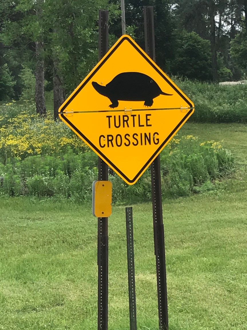
Deer and bunnies and squirrels and turtles and bull frogs and snakes (including a long light brown one) and exotic sounding invisible creatures made for entertaining companions. I came upon a family of geese with several pre-fledging goslings. One of the adults rushed strait at me with its mouth open, flapping its wings. Okay, okay. Just passing through, dude. Chill already.
I stopped at Fifteen Mike campground and talked to a camper as bugs swarmed around us. He was quite a chatterbox. 70 years old but he looked far fitter than me. He advised me that mud was in my future.
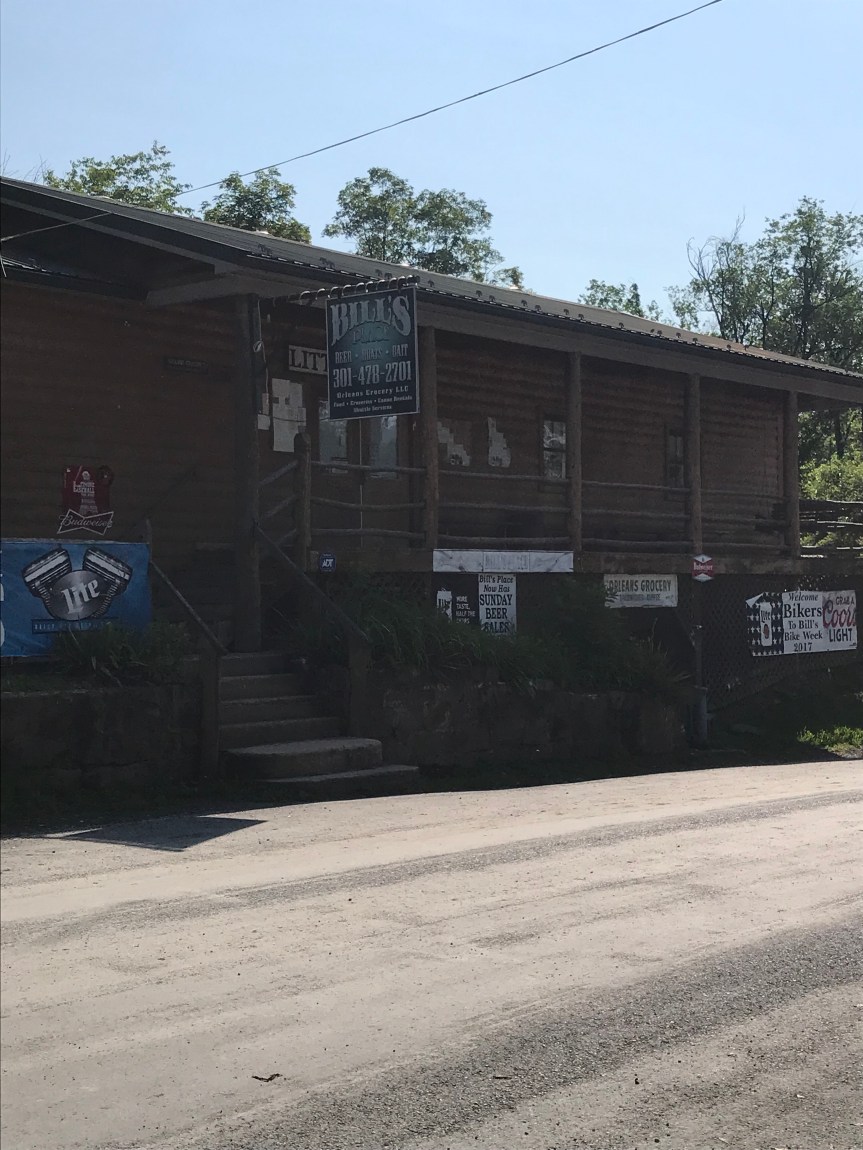
He told me how to find Bill’s Place, a canal landmark that I’ve never seen before. Unfortunately it was closed so I’ll just have to ride back to check it out someday.
I talked with a group of seniors who were being dropped off to ride the canal. 0ne was on an e-bike. I paid it forward by giving them info on the towpath section I had just ridden.
I took a bio break. You can tell you are near DC when you find a book about French history in a porta potty.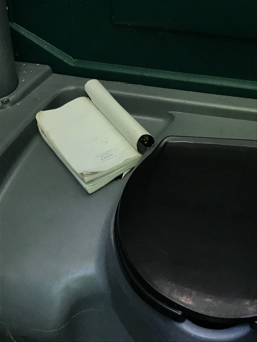
As I approached the Paw Paw tunnel the mud became a quagmire. I was lucky that the edge of the towpath was covered in a carpet of leaves, perfect for walking my bike through the muck.

The tunnel has a very rough trail surface. I walked it and was glad I did. It seemed to take hours with my claustrophobia increasing with each step.

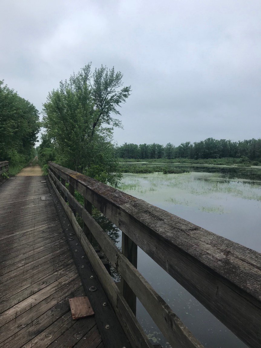
I think the prettiest section of the canal is west of the tunnel.

They told me of a cafeteria in a closed school in a place called Oldtown. I stopped there for lunch before slogging on through more and more mud.
Miles and miles of the stuff was wearing my old ass out. Each time I hit a muddy spot I’d tense up and my back would ache as it tried to keep the rubber side down. I considered taking a nearby road just to get out of the stuff. I was stopping every ten minutes to clear mud from under my fenders.

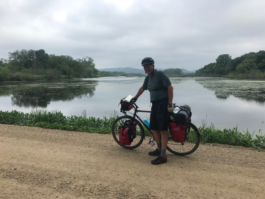
I arrived in Cumberland and a passerby took my picture.

I really should pull my pants up higher for the full geezer in a bike look, don’t you think?
I went into a bike shop to buy a Fiber Fix spoke, a gizmo that will allow me to replace a broke spike without tools. They were out of stock. They advised me not to break a spoke. Yeah well…
I used there hose to spray all the mud off The Mule. Afterward I ran into a couple who were doing a big loop bike tour: Albany to Erie to Cumberland to DC to Albany. John and Sara (I think. My fusiform gurus is on the blink again) and I talked for a good twenty minutes as we snarfed down goodies at a sandwich shop,

They headed off down the canal to find a camping spot. Happy mudding, y’all!
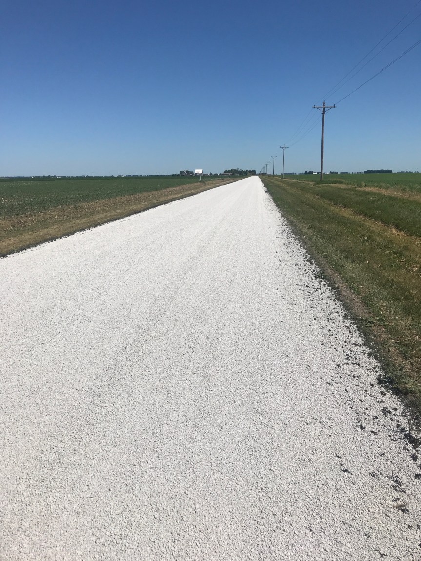
I tried to get a bed or room in a Cumberland hostel. It they were booked. The YMCA in town puts people up for cheap but it was apparently under siege by derelicts. I checked the Ramada but they wanted $110 and that’s not in my budget. So I headed 16 miles up the gravel GAP trail to Frostburg where I got a bed in a bunkhouse.
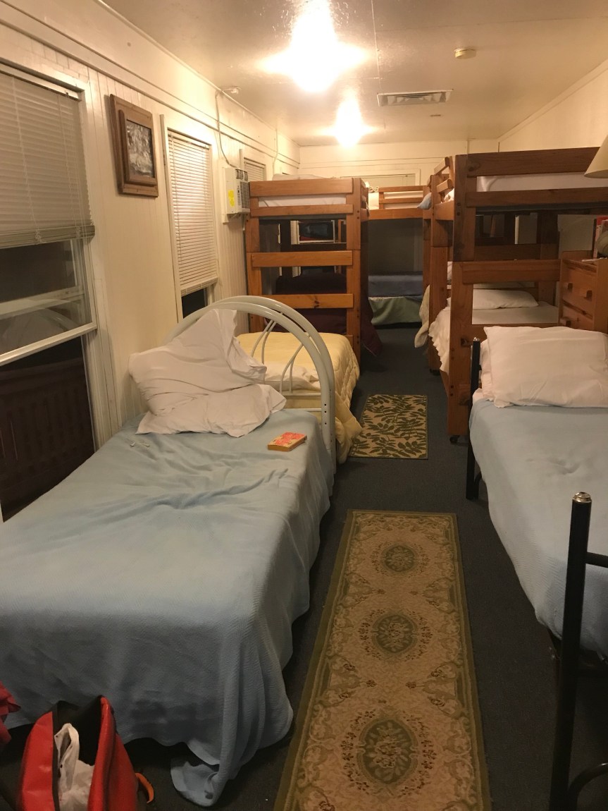
I’m the only one here so it’s not bad at all. I have a bed, shower, TV, and laundry.
All the muck and the gravelly uphill really wore me out. I was on the trails for 12 hours.
Bottom line: 79 miles (Tour total 206). I’m 16 miles further along than I planned. Tomorrow I ride 5 or so miles to go over the Eastern Continental Divide then downhill for the rest of the day. Zoom!


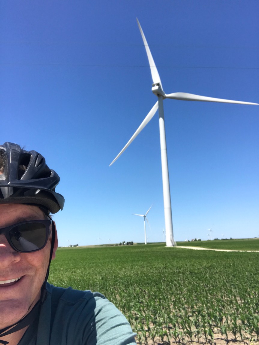 I once saw a turbine blade on display near the Energy Department. The thing looked to be as long as a football field. (How they drove into DC with it is beyond me.) Anyway, seeing these things from a distance is truly impressive but up close they are hypnotic. I nearly ran off the road I was so captivated by them.Another thing I noticed today is that the pool table is starting to have some gentle up slopes. I probably climbed 200 or 300 feet today, 30 feet here, 20 feet there. In Kempton I stopped for lunch at Tom’s. There is a mural that runs the length of the building. It’s a bit like to cover of Sgt. Pepper’s. I parked The Mule to the left of Dorothy from the Wizard of Oz. Is she signing something?
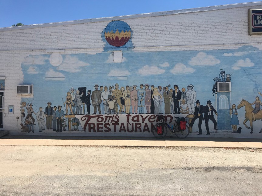 In Odell I crossed Route 66. There is now a bicycle route that follows the route from Chicago to Los Angeles. As I was taking a picture of the sign a woman jumped out of her car to get a picture of her own.
  My plan had me stopping at Cornell Illinois but there were no campgrounds or hotels there. There was plenty of daylight left and I was feeling fine after 67 miles so I continued on to the City of Wenona. They let bike tourists camp in the city park. It’s a very nice set up and the shower was the best. My thanks to the Wenona police officer who directed me to the park (and checked up on me later) and to Sheila who showed me around and gave me the secret code to the shower room.
 On days like this I have a hard time getting off the bike. I rode 92 miles. My total for the first two weeks of the tour is 1,030 miles.


