With warming temperatures it was time to put on some shorts and go long. I’m still not completely over my cold but I have to take advantage of this weather while I can.
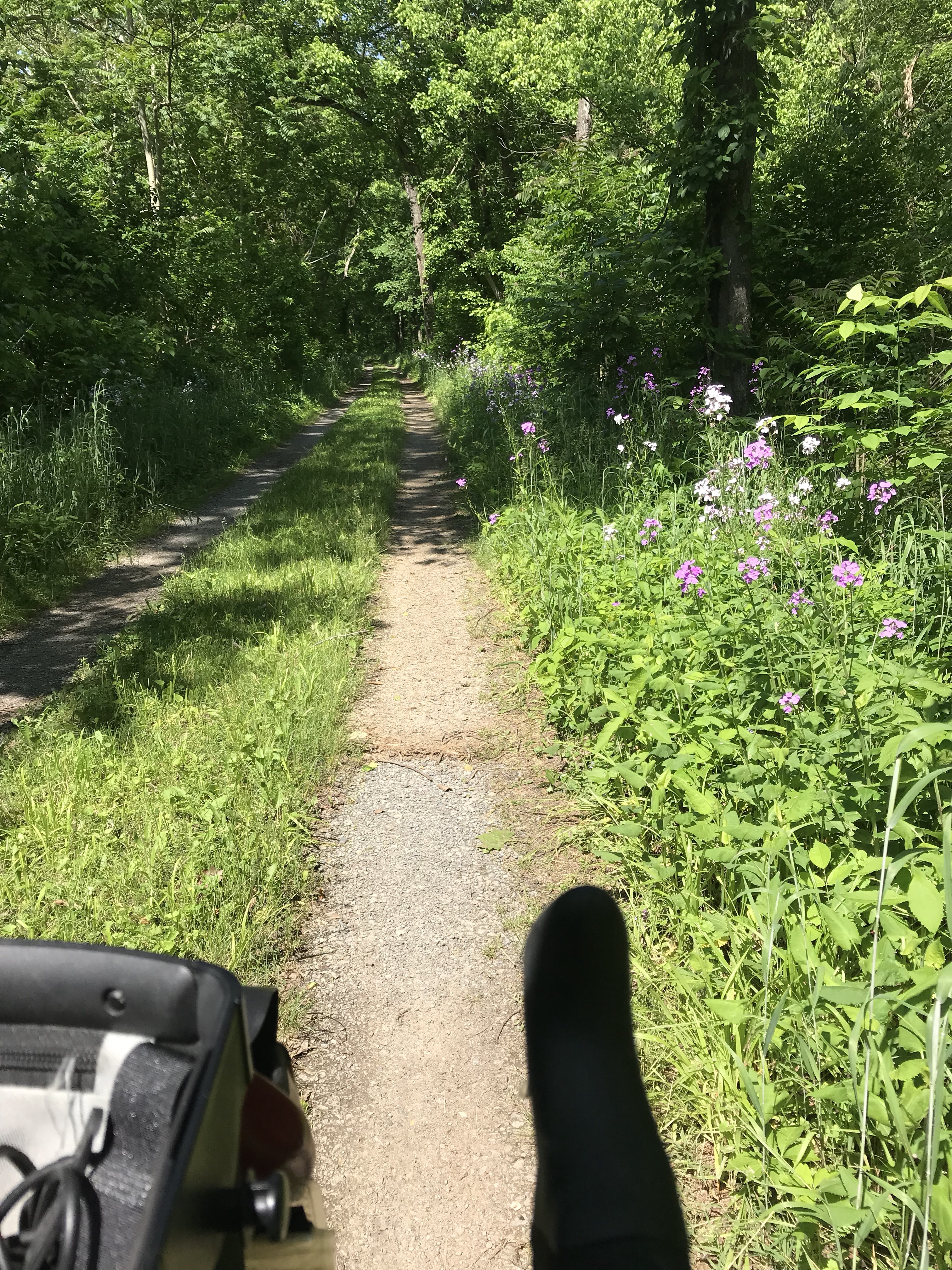
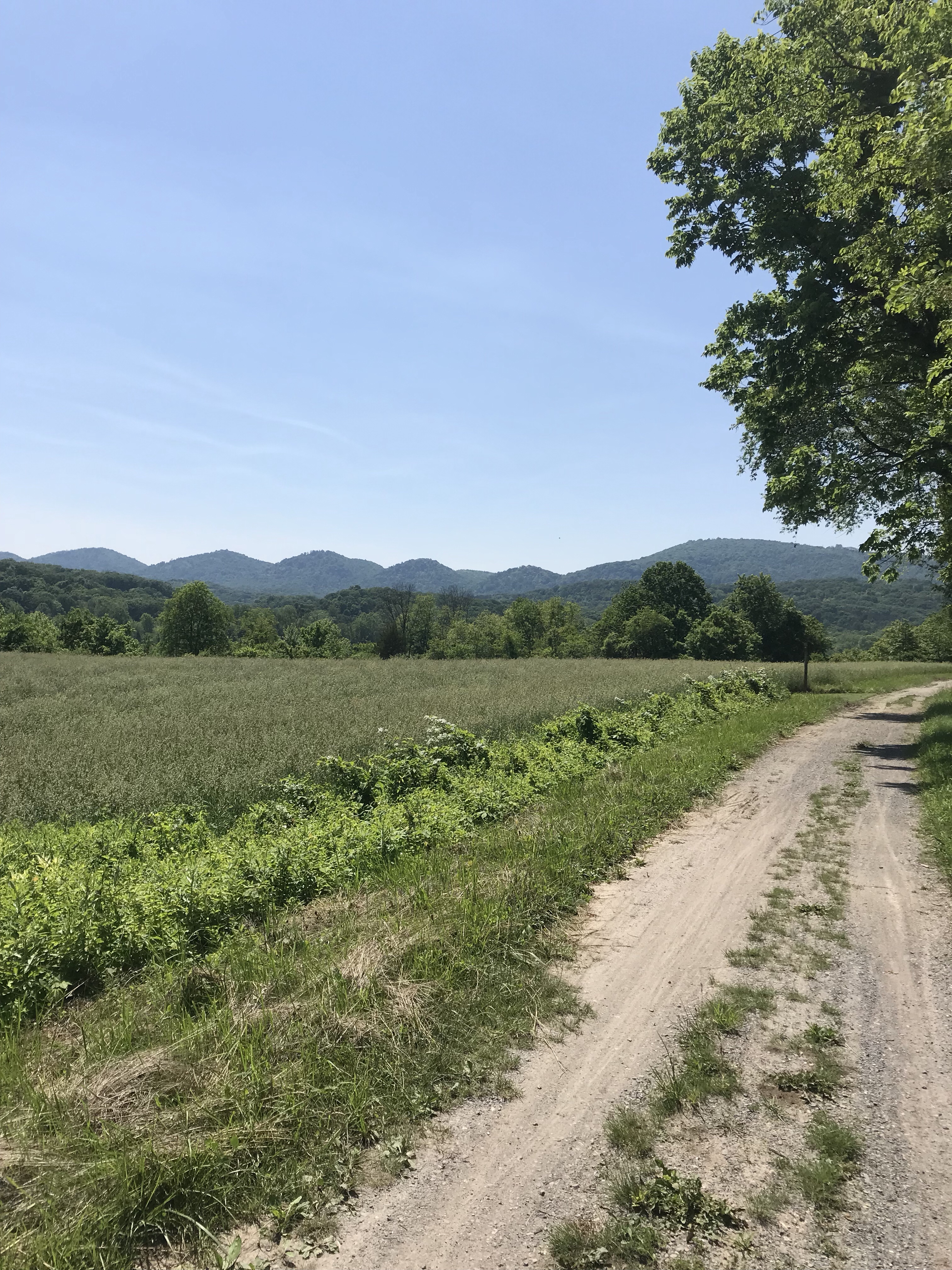
On Monday I rode The Mule into a stiff headwind for about 27 miles. My route was flat for the first 15 miles, using the Mount Vernon and Rock Creek Trails. Most of the rest of the ride was the gradual uphill to Bethesda on the Capital Crescent Trail.
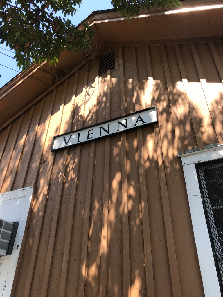
I stopped at a trailside rest area just before Bethesda Row and had a packet of Belvita breakfast biscuits. 230 calories. Then I continued northwest past the National Institutes of Health and through North Chevy Chase.
I took a right on Beach Drive in Rock Creek Park and followed it all the way back to Georgetown where I retraced my route back home. All told I rode 54 1/2 miles. It was nice having a tailwind for the second half. I realized that 230 calories is nowhere near enough so I made a mental note to up my food game.
Monday was a rest day. I tootled around the Fort Hunt area where I lived for 20 miles. I felt sluggish before I rode but as soon as I started pedaling my body was, you might say, in gear.
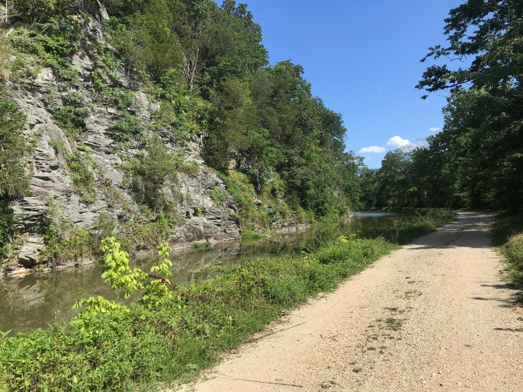
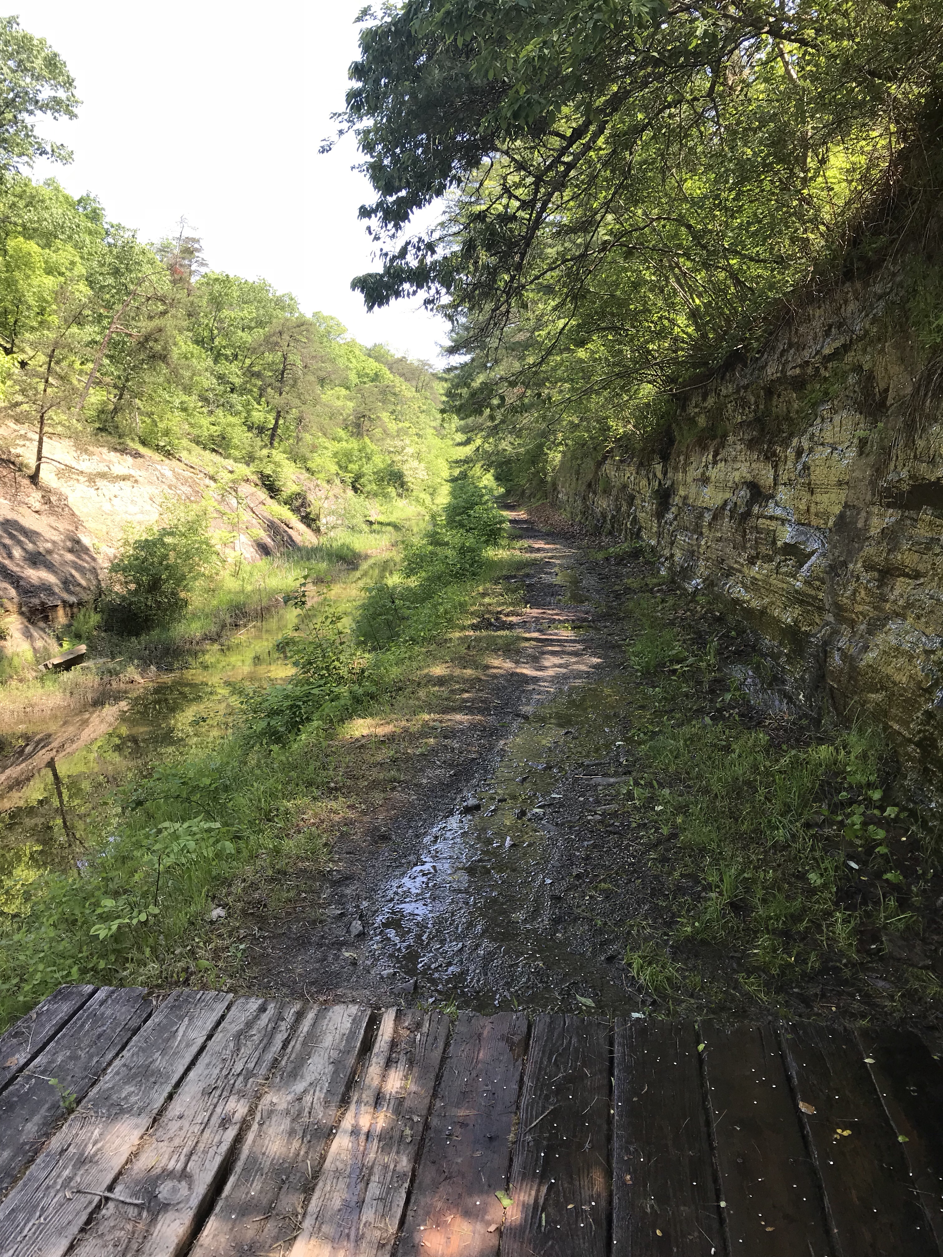
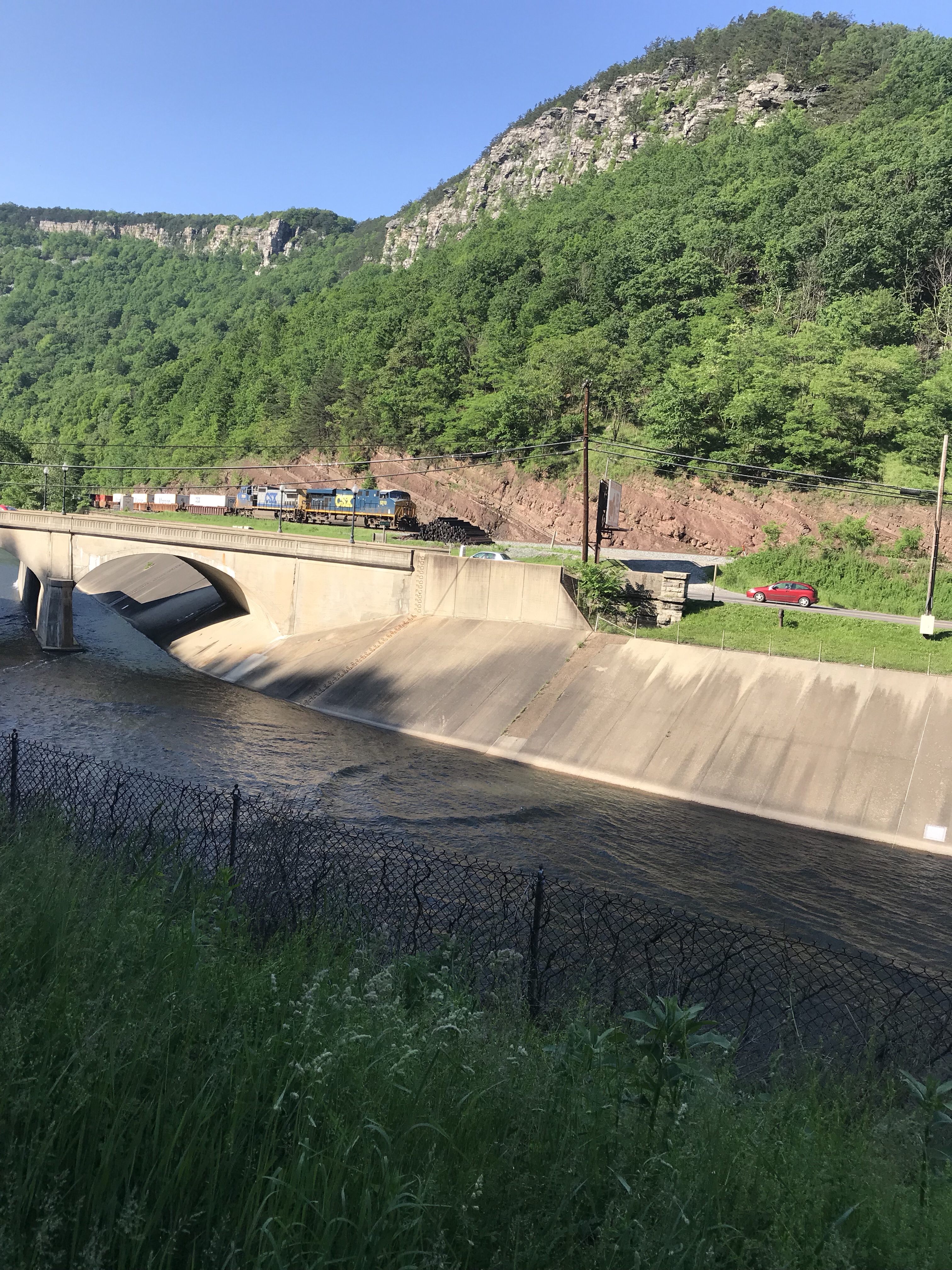
My original training plan was to do 50 miles, rest, 60, rest, 70 rest. Today the weather was pretty darn good. Sunny skies with temps up into the 70s. So off I rode, once again following yesterday’s route to DC. This time, however, the wind was at my back. After a cheese sandwich snack, I left the Capital Crescent Trail after a couple of miles and climbed the steepish hill away from the river to MacArthur Boulevard. I took MacArthur six miles west, including the grind over the reservoir complex. At Persimmon Tree Road I left MacArthur and climbed. After about a mile the road transitioned to rollers, just the kind that can wear you down. At River Road in Potomac I took a left and headed west. River Road has a series of challenging hills that are definitely granny worthy. Just when I thought I had run out of gas I came to Seneca Creek where I took a left and rode to Rileys Lock on the C&O.
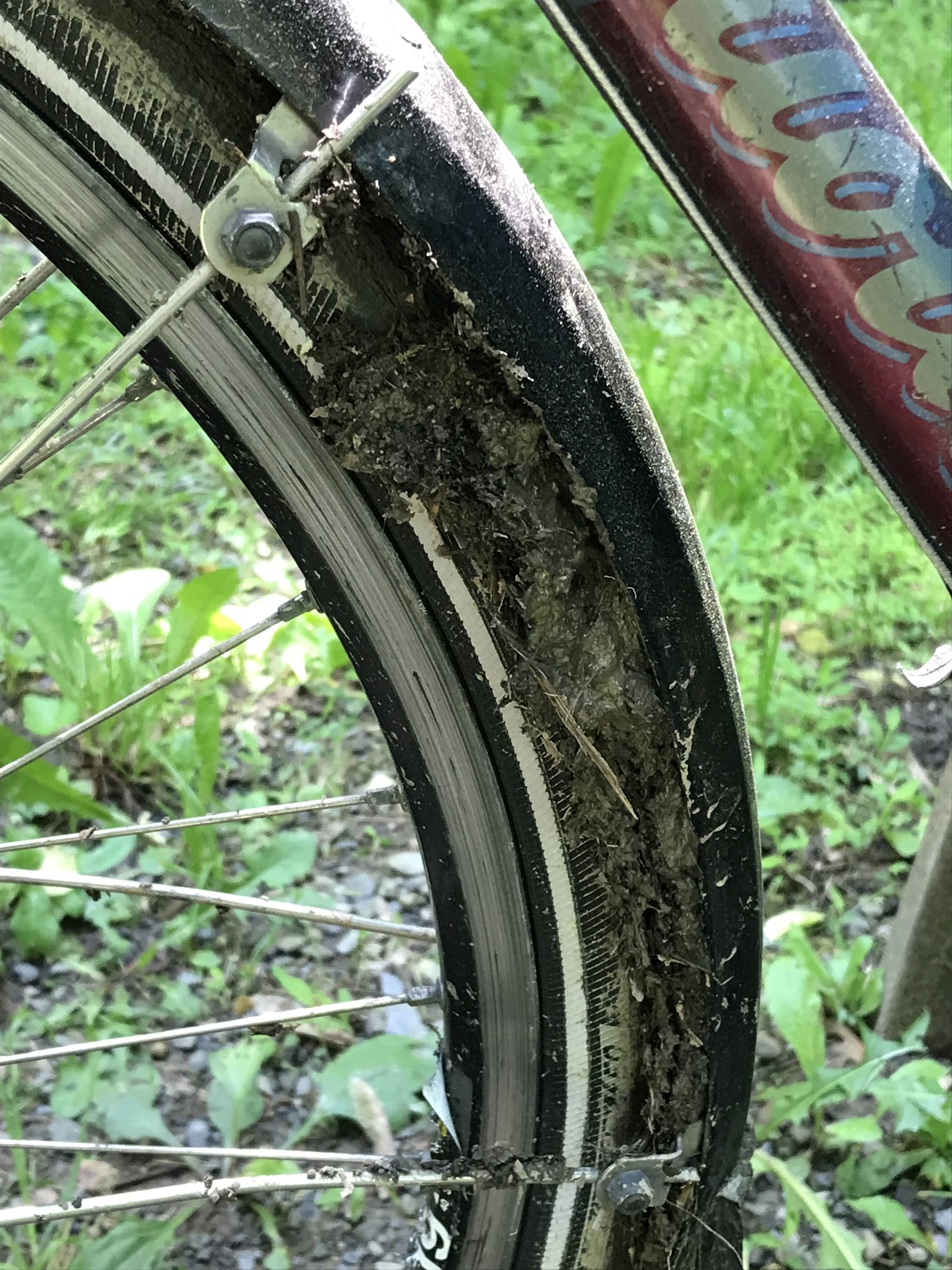
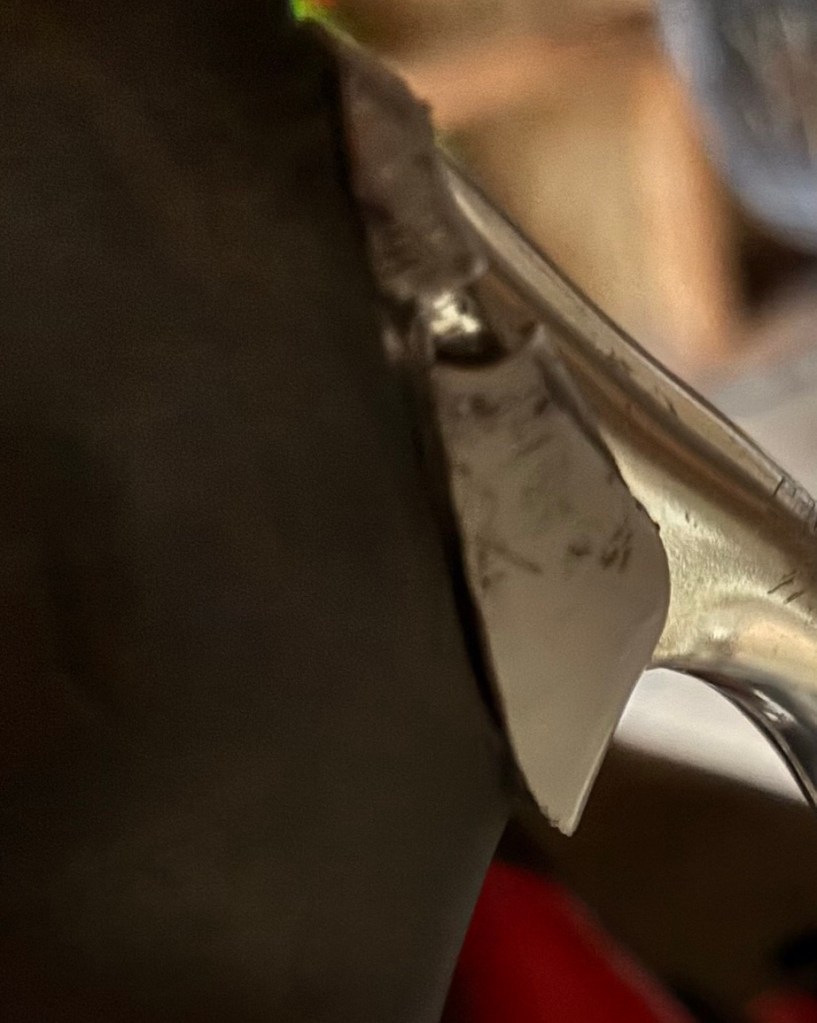
To get to the towpath I crossed over the dry canal. I hadn’t counted on the sides of the canal being so steep so I didn’t have enough momentum to crest the far side of the ditch. I came to a stop and planted my right foot. I knew I was in trouble. It was just too steep. As I swung my left leg over the bike to dismount, the bike and I slid and we toppled over to the right. I heard a “SNAP” on impact. After feeling utterly foolish for falling, I got it together and pushed the now-upright bike onto the towpath.
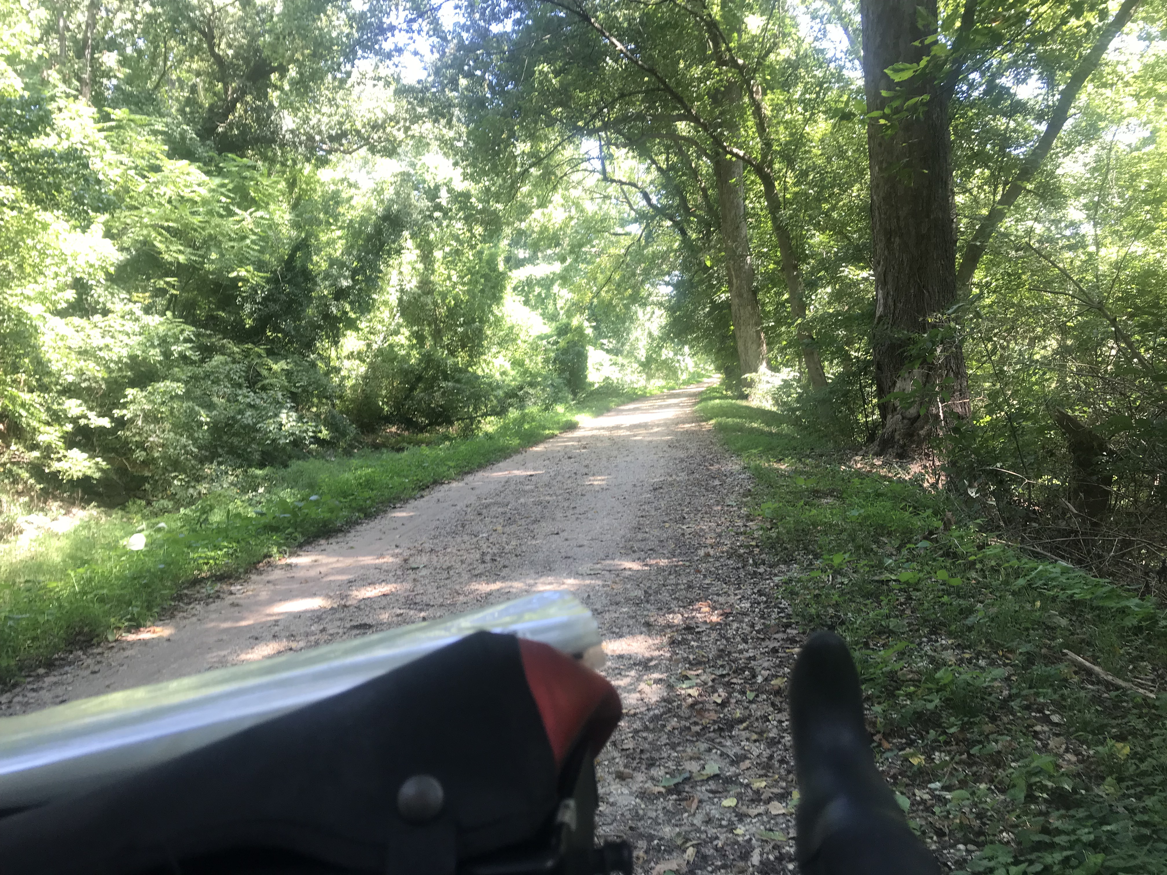
After a few hundred yards I was happy to see that my fall hadn’t damaged the rear derailer. All my gears worked just fine. The snap faded from my thoughts. I pedaled aggressively down the towpath, now into a headwind, several miles back to Great Falls Park where I stopped to eat my PB&J sammie and reload my water bottles.
Rather than continue down the flat towpath, I climbed about a mile out of the park back to MacArthur Boulevard. The climb is very much like those out west, anywhere between one and four percent grade, requiring more persistence than strength. One thing I noticed is that my climbing form had reverted to the mechanics I used so successfully in my cross country ride in 2018.
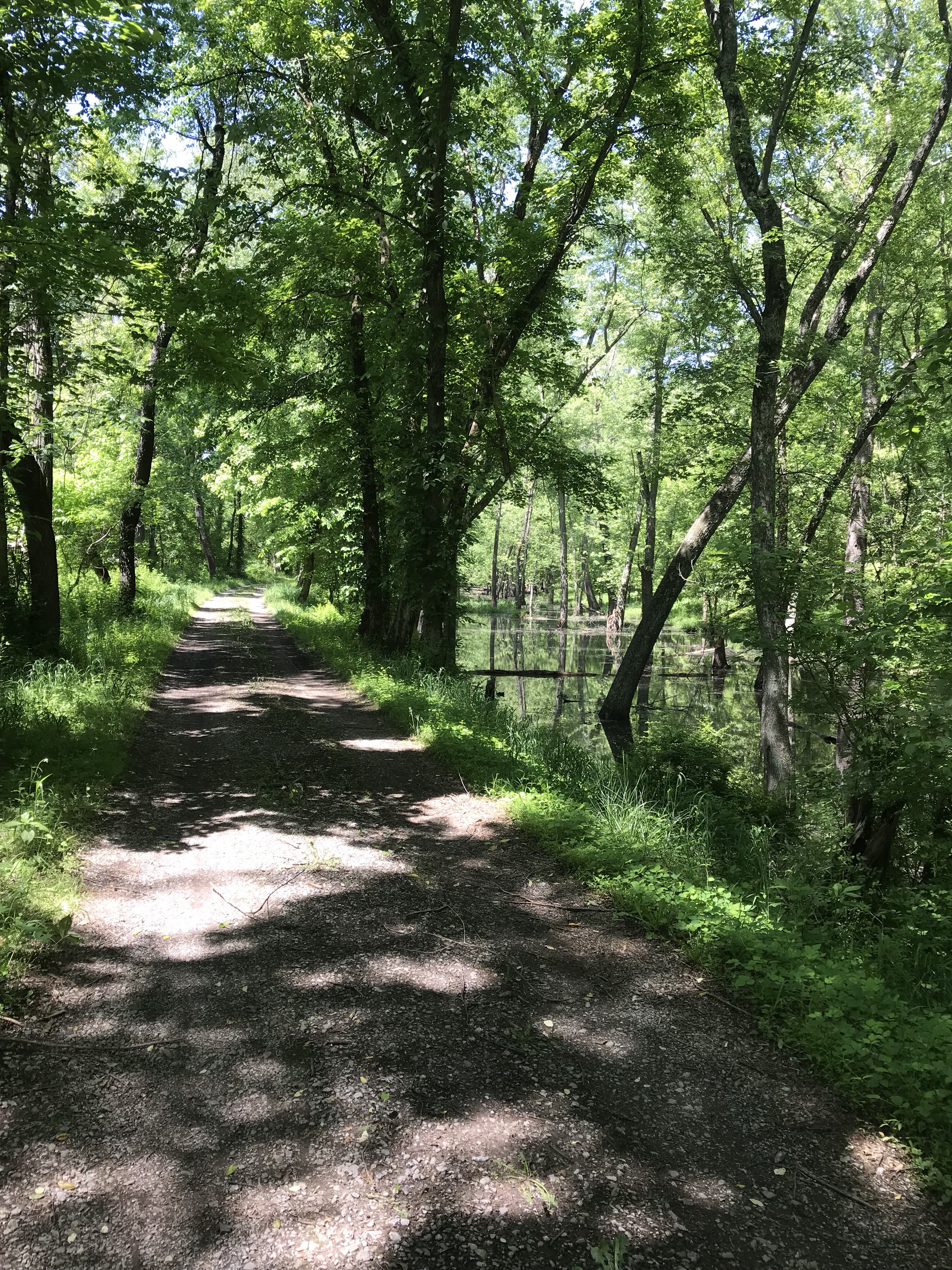
Over the top I rode with the big metal things down the windy wooded slope. This is one of my favorite stretches of road in the DC area. Once at the Old Anglers Inn, the road levels out. Now I had to grind away for about 27 miles to get back home.
As I rode I munched on my last packet of Belvitas, stashed in my vest pocket. I could tell that I was starting to flag when I had to re-cross the hill at the reservoir. I was pooped.
Just keep going.
When I arrived at Gravelly Point Park I stopped to finish off my Belvitas and watch a few planes land into the headwind. While watching I felt something odd about my right break lever. As it turns out the snap that I heard during my pathetic flop was a piece of plastic trim on the brake lever. Other than protecting the inner workings of the lever from rain, I don’t think it has much of a purpose. I guess I try to find a replacement somewhere or, failing that, attempt a superglue repair.
The last 11+ miles were a slog but I made it home in one piece just before the sun set. The middle of my back was pretty achy (it felt fine while riding) so I took an Advil. I’m going to slide my saddle back a smidge to see if that helps.
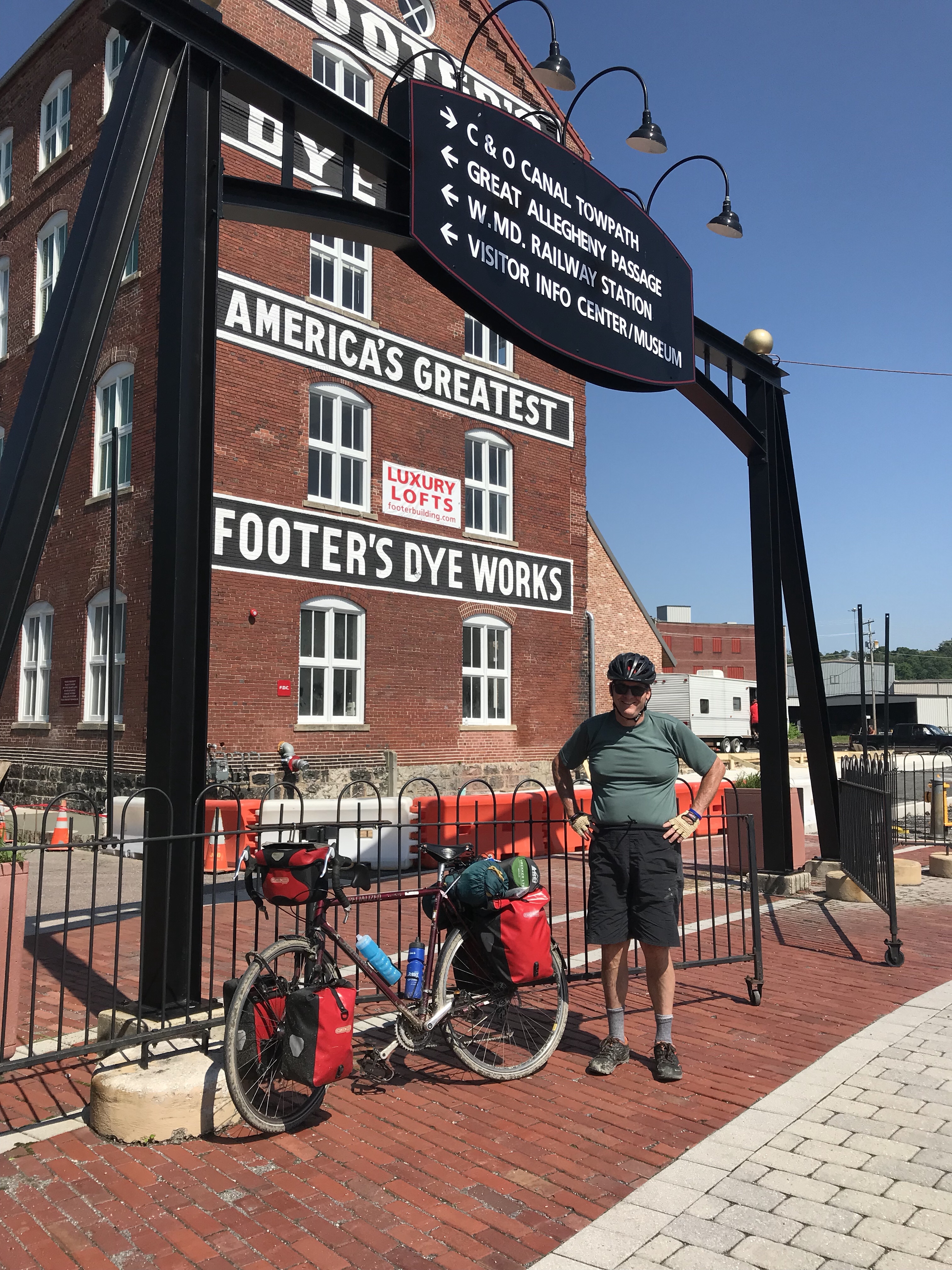
My total mileage today was 77 1/2. That’s the longest I’ve ridden since late July and easily the hilliest ride I’ve done since the 50 States.
Tomorrow is a rest day. I go to the eye doctor and maybe get a Covid booster. (I need to check with my insurance to see if they’ll pay for it.) And maybe I’ll bring my bike to some shops near home to see if they have that plastic brake part.
As for this evening, I will eat like a Conehead. Mass quantities.