I have a condition known as spinal stenosis. This is the narrowing of the pathways around the spinal cord and the nerves that branch off of it. Some of the nerves get irritated causing pain. My pain primarily shows up in my lower left leg. It is a dull ache that gets worse when I walk or stand. Last winter my pain was so bad I couldn’t walk across a room. As is typical of spinal stenosis, I can ride a bike without any pain at all.
To treat the pain I had cortisone injections in my back. The injections were very painful. The shot goes into the already irritated nerve and an electrical shock shoots down the nerve all the way to your toes. After a couple of days, the stenosis pain went away. The analgesic effect of my shot lasted about six weeks. Then covid hit and my doctor left the practice I was using.
When the dull ache returned this summer, I decided to wait a while to see if it would go away. My activities included riding my bike, reading, watching baseball, cleaning the house, and mowing the lawn. Mowing the lawn is not a problem because it involves supporter walking with a forward lean. The forward lean decompresses the spin so as not to irritate the Inflamed nerve. Only house cleaning and trimming the grass caused pain, both because they involve unsupported standing and walking.
I’ve also been doing physical therapy. I searched YouTube for appropriate exercises. Recently I added a few. They take about 15 minutes to do.
About three weeks ago, the pain became much greater so I called for an appointment. After a couple of insurance-related hassles, I ended up seeing a nurse practitioner.
Yesterday I mowed the lawn without pain. Then I used a trimmer and a blower. I expected that walking around with the trimmer and blower would cause my leg pain to flare up. It didn’t.
Going to a doctor without symptoms seemed pointless, so I decided to walk the half mile to her office. I brought a cane, just in case. About 100 feet into the walk, my left calf started aching. On a scale of 1 to 10, with 1 being mildly annoying pain and 10 being just-shoot-me, my pain was a 1. I expected it to increase as I walked but it either stayed the same or went away entirely, The only abnormality was a slight awkwardness to my gait.
I explained to the nurse that I made this appointment with the intention of getting a shot. Obviously, a shot was not necessary.
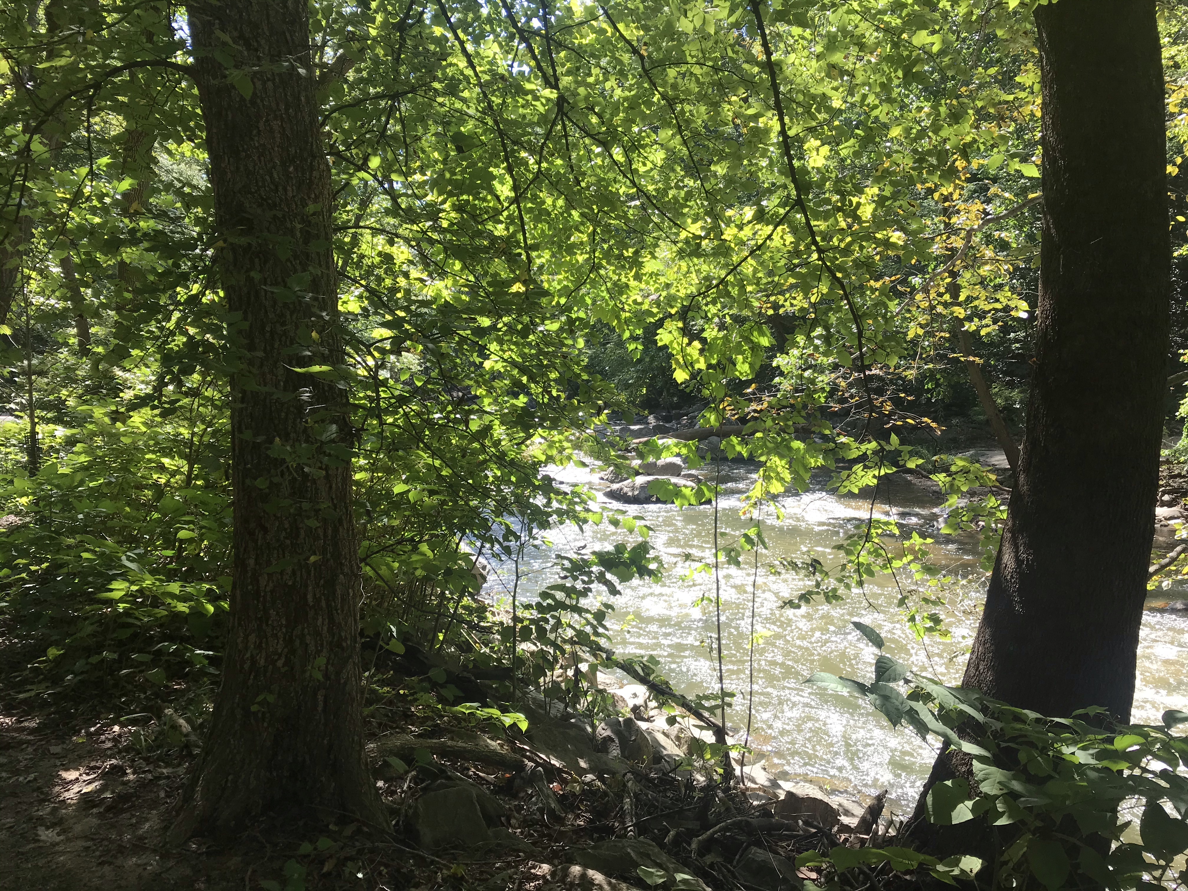
All was not wasted, however. We set up a plan. I will test my back by going for a short, east hike. Three miles should do the trick. If the pain returns and lingers then I call her and she’ll get the insurance authorization and set up the injection appointment with the doctor.
We also discussed how to deal with activities like vacations and such. If I expect to be doing a lot of walking, she will prescribe pain medicine as appropriate. Sadly, because I live in Virginia, she cannot prescribe marijuana edibles. With appropriate levels of THC, they work extremely well with little to no side effects.
I walked home without a problem. Then I went for a 30-mile ride.
Time will tell.