Any Road Tour: Day 31 – A dirt road and a gift brick

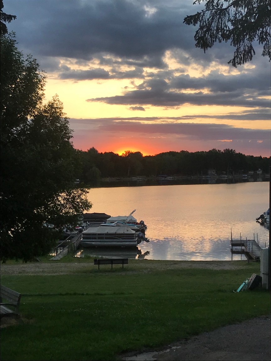
The day began with me wondering how I’ve finally gotten used to sleeping in a tent.

I broke camp and headed to the local diner which was on the short side of mediocre but the only game in town.

I sat at the counter and talked with an old man who spent his life making drag lines. I looked it up later. Suffice it to say, drag lines are one of those things you didn’t know had a name but are used in big construction projects.

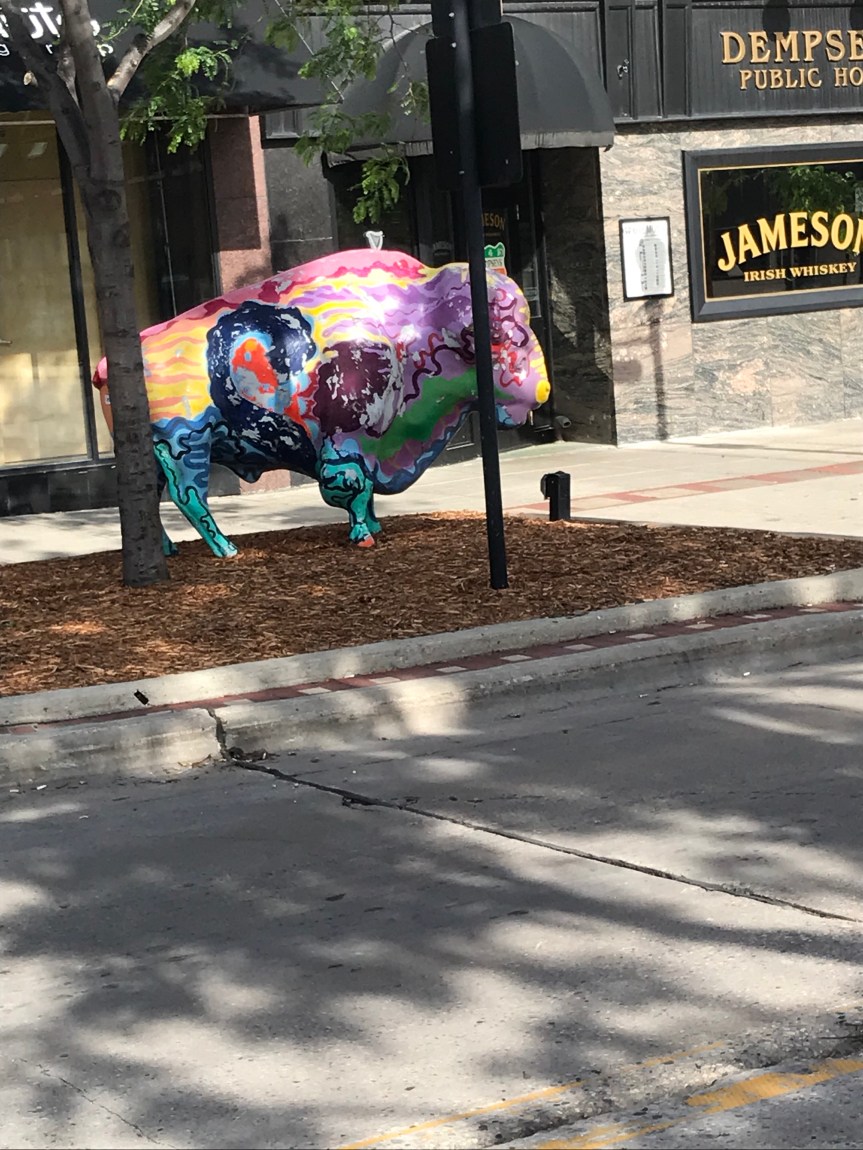
Off I rode after bidding adieu to Salem Sue who is one of those inexplicable roadside attractions that make America surreal.

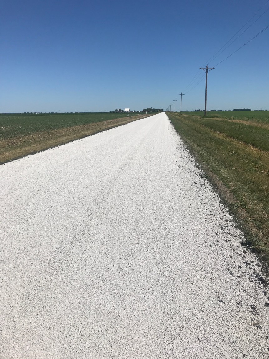
The route goes on I-94 but most people take a dirt road instead. The shoulders on I-94 are 10 feet wide and paved. Some genius at the North Dakota DOT put rumble strips across all ten feet. If you rode the entire 10 miles of the route on this, you could forget about having usable personal parts for a year or two.

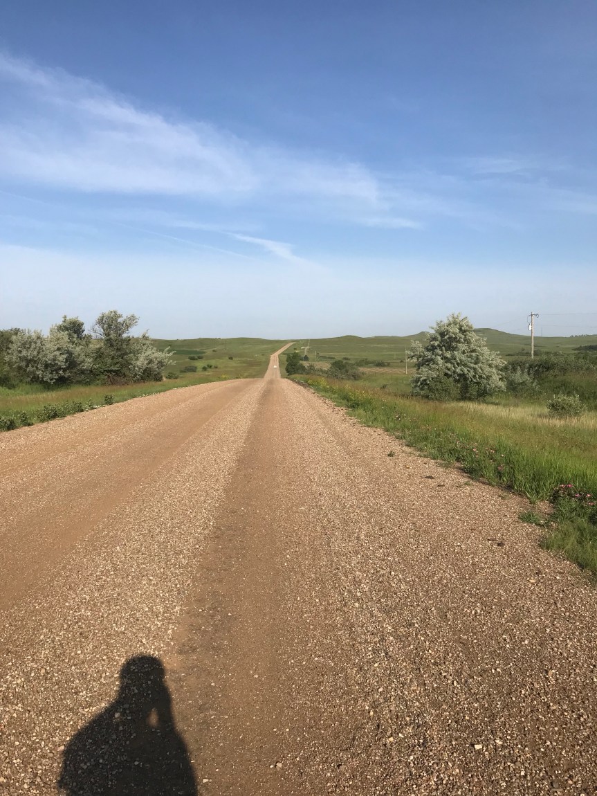
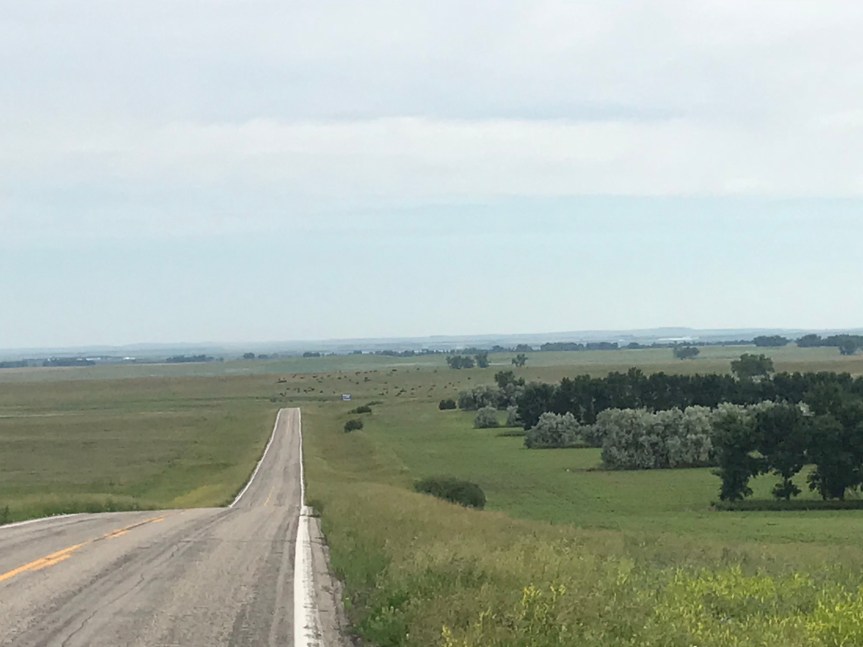
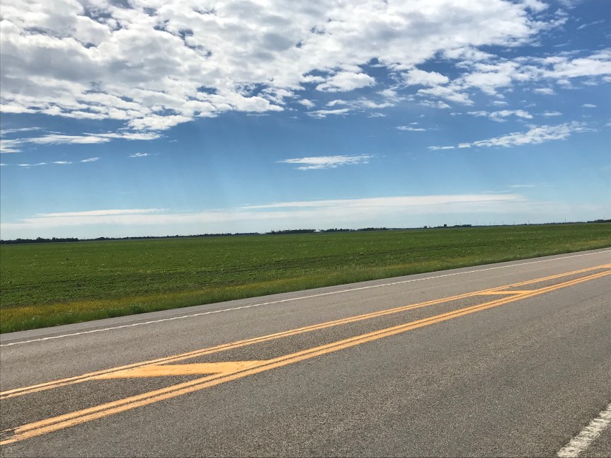
The dirt road was a little bumpy. I was concerned about breaking a spoke so I took my time. The scenery was splendid. Whoever said North Dakota is boring got it totally wrong.

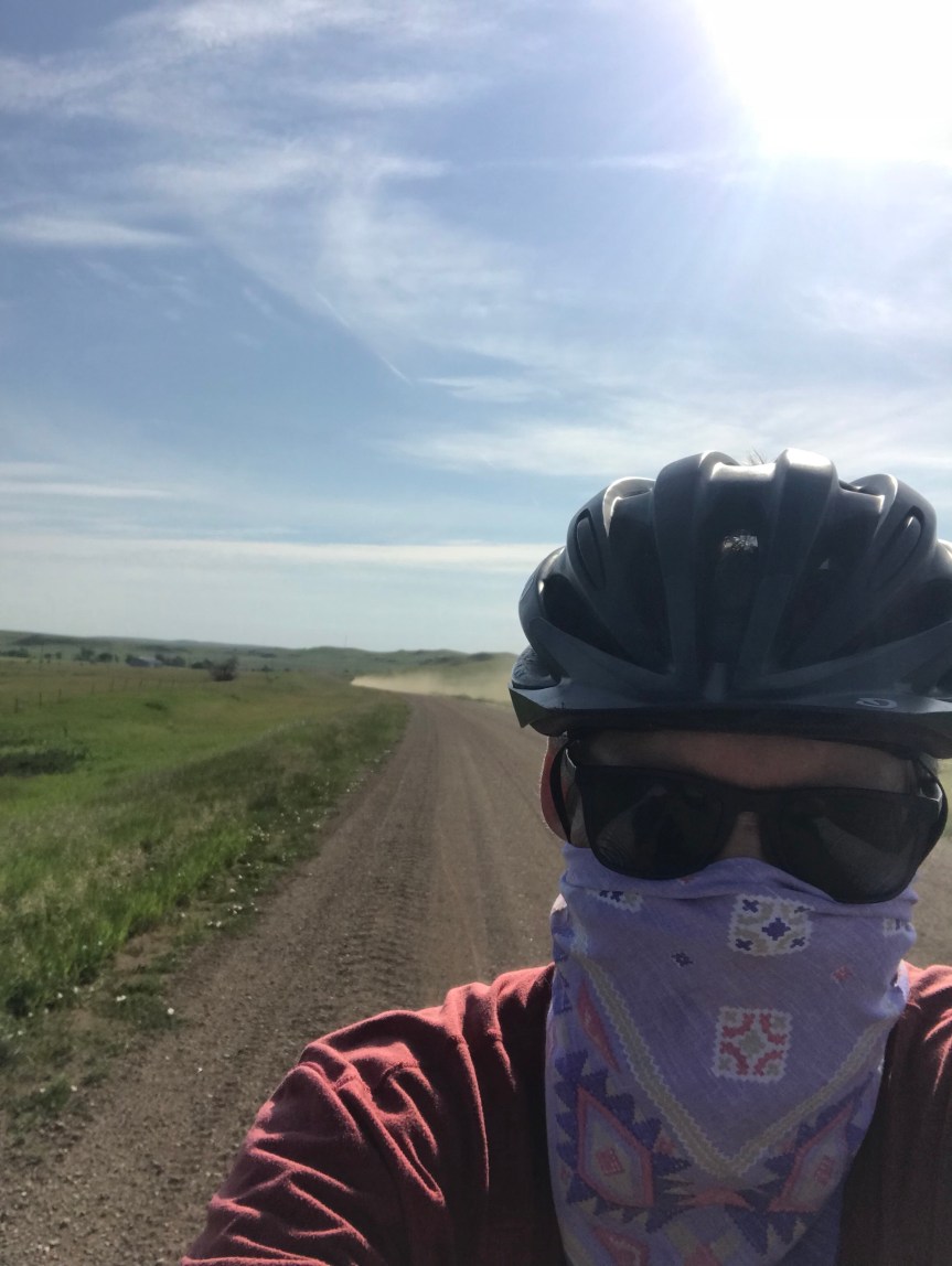
One downside to the dirt road was the cloud of dust that was kicked up by passing trucks. I pulled out my bandana, which I had hoped to use to rob a bank. There were no banks just my rather delicate lungs.

Along Big Dirt Highway I passed my second Twin Buttes. I figure if both DC and Baltimore can have a Washington Monument, North Dakota can have two Twin Buttes. This one did not have an ugly McMansion in the middle.

The scenery was pretty and interesting (to me at least) wherever I looked

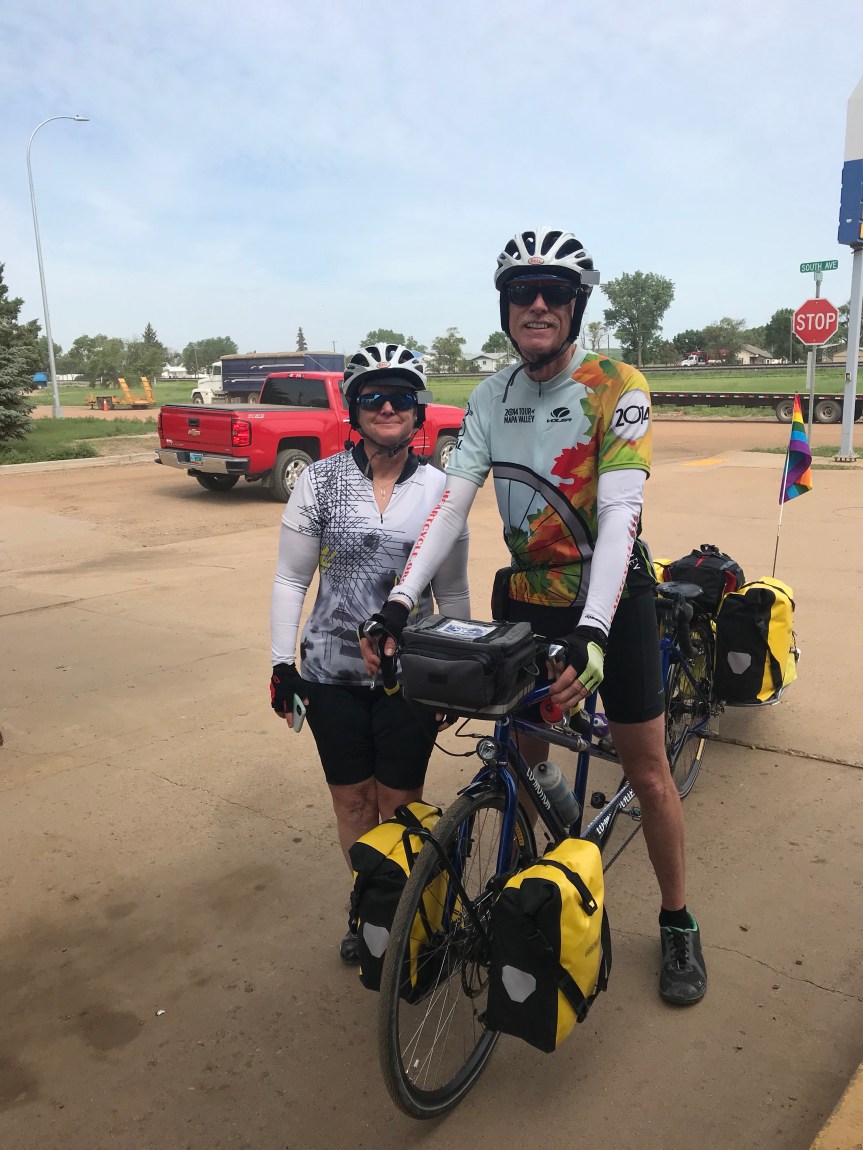
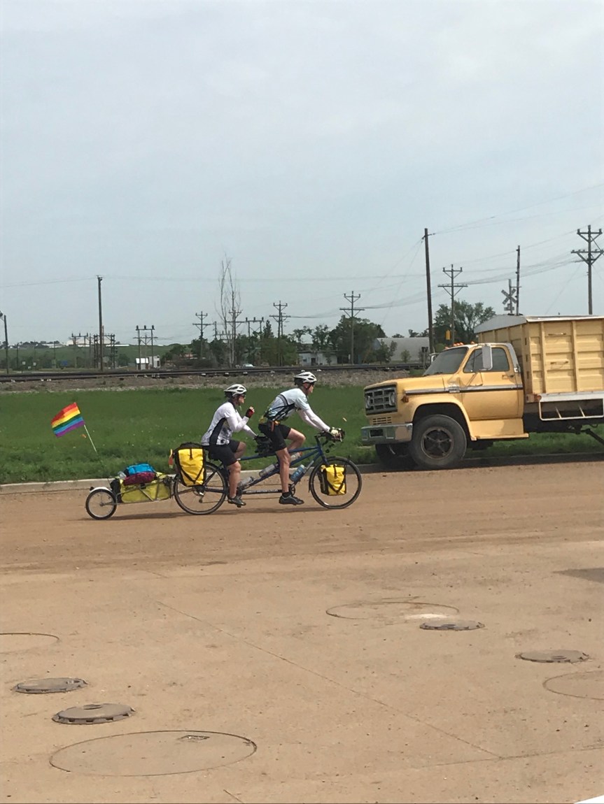
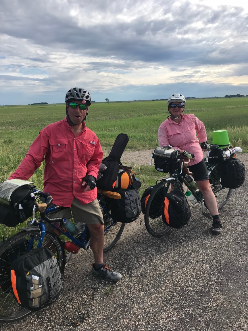
Once back on pavement I rode into Glen Ullin where I snacked in the shade of a gas station convenience store. Up pulled an eastbound tandem pulling a trailer. Gail and Bill Buckley were riding to somewhere on the New Jersey shore.

Back on the road the ranchland gave way to farms. I guessing this yellow stuff was mustard. (Post tour note: It’s alflafa in bloom. Pollinated by the bees owned by the owners of the Honey Pot bike shelter in Gackle.)

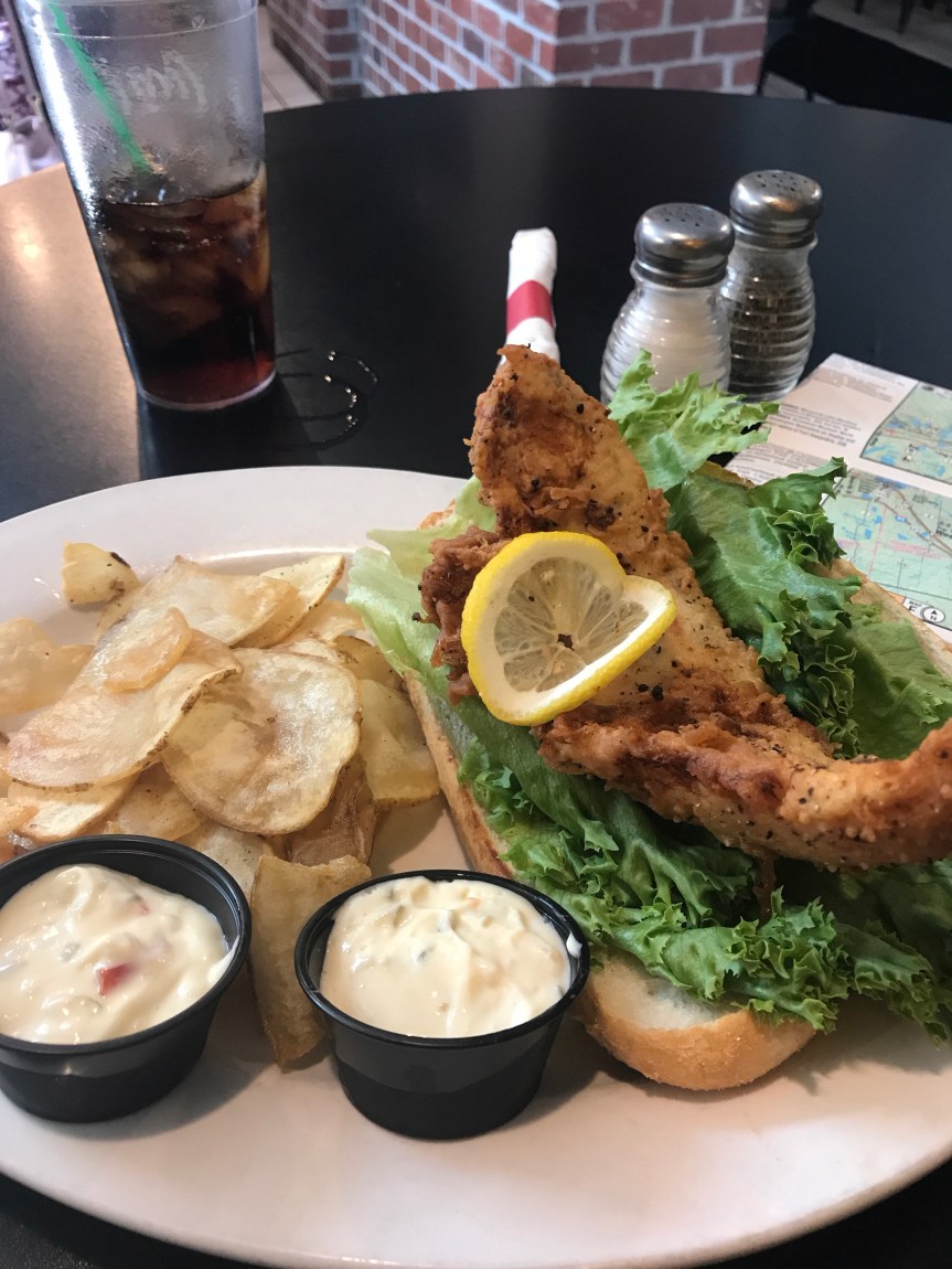
I rode into Hebron and saw bricks being staged for transport on trains. I went into Pizza Pantry and had lunch. As I was paying the proprietor, gave me a small brick so that I’d always remember the Brick City. We agreed that it would be too heavy to haul all the way to Seattle so we settled on him taking my picture with it.

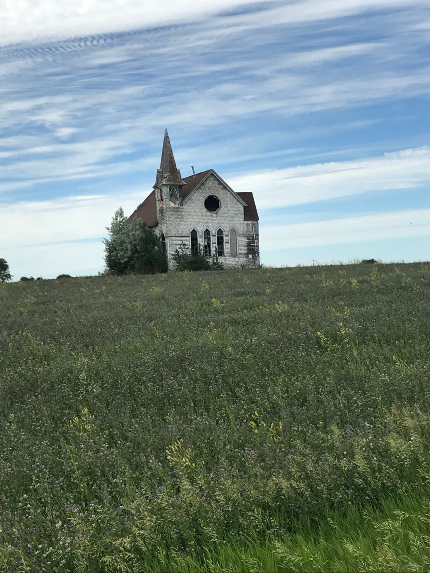
The road to Dickinson passes through Taylor. I saw an interestingly weathered old building with a note on the front door. Condemned. As I read the note I could see that the structure was crumbling away.

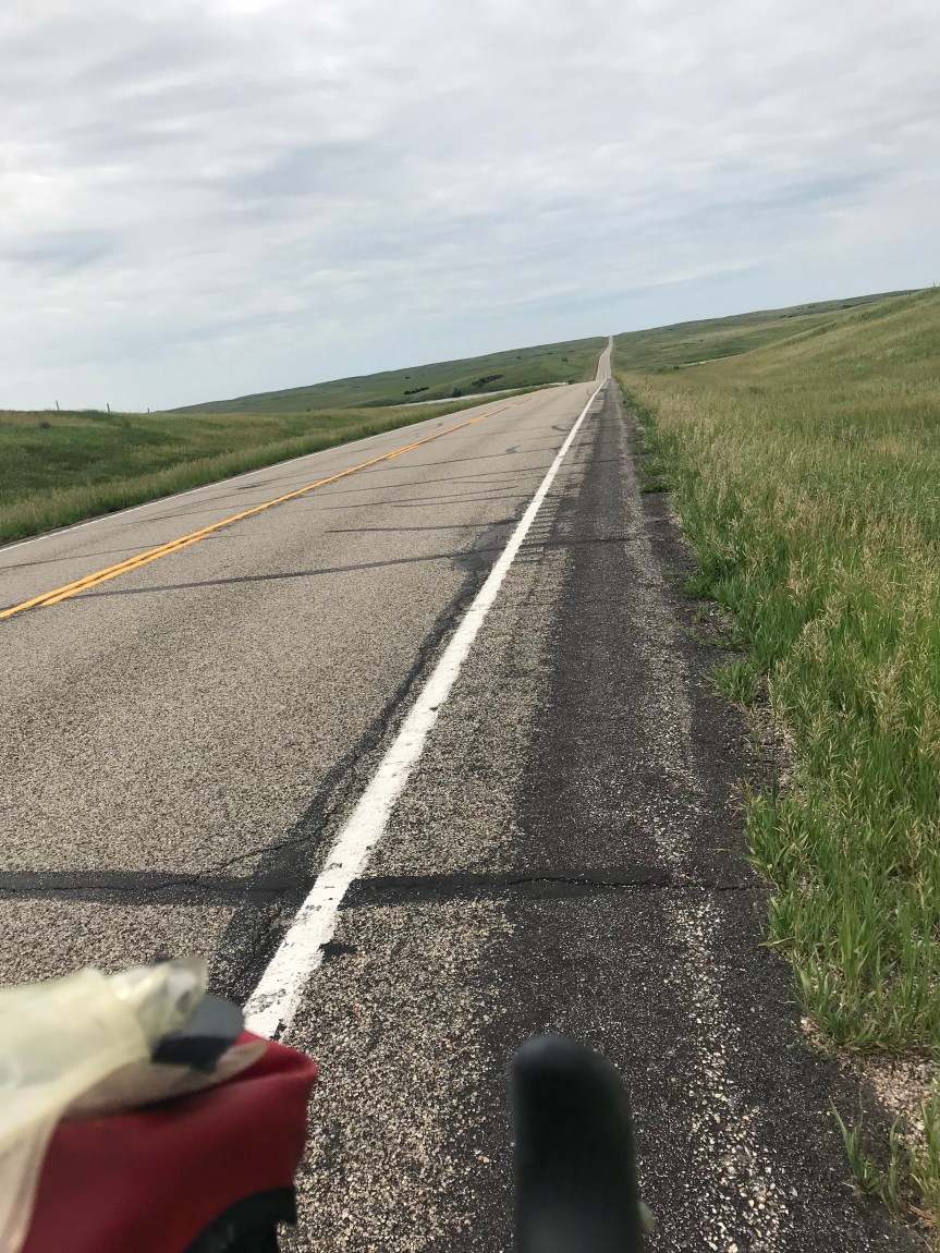
The last ten miles featured a hill that went on for miles. At the top we’re two geodesic domes under construction. They looked a bit like the space ship from Lost in Space.

Dickinson is a bustling town of about 18,000 people. I decided to check into a hotel to clean up and do laundry. Then I went out and had a massive dinner of salad and jambalaya. I can barely move.

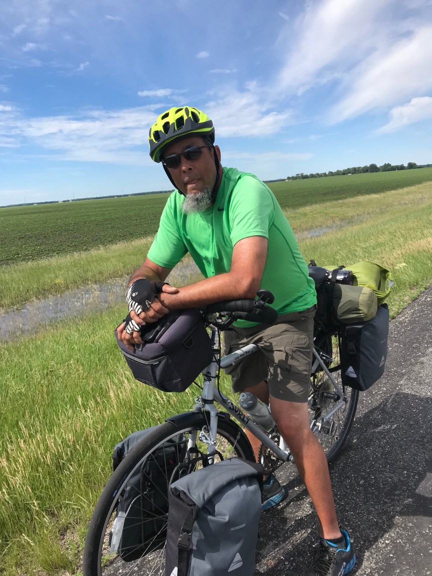
Medical update: The compression sleeve did the trick. My left calf is now almost back to normal size. It doesn’t seem to like confinement though. It’s been itching and sending me little pain shocks all day. Small price to pay, I suppose.

Sociology observation: The people of North Dakota are incredibly polite. It’s a bit hard to get used to. Also, they are whiter than a cue ball, both in terms of complexion and demographic make up. I’ve seen one person of color since Morehead Minnesota.

Chronological note: My maps said that I crossed into the Mountain Time Zone after Hebron but the next set of maps says the time line is the Montana border. Either way my body is still inexplicably on Eastern Daylight Time.

Miles ridden: 73.5

Total tour miles: 2,319

Any Road Tour: Day 30 – Nothing up my sleeve

After last night’s dinner (I had the Fatty Burger), I slept like a rock. Except for waking up with s cramp in my swollen left calf that nearly sent me through the ceiling of my tent. Dang that hurt. Oh and there were the three other times that the compression sock on that leg caused my Morton’s neuroma to flare up. This feels like a nail is being shoved into your foot.

Nine hours of semi-restful sleep later I awoke to bid farewell to Peter and Gregg as they headed east. An hour later I was heading west after a healthy breakfast of two pop tarts. I had 45 miles to go until the next store st Bismarck so what could go wrong.

I munched in Gardettos snack mix from time to time as I negotiated the curving rolling hills.

More and more crops are giving way to cattle ranches. I looked forward to Twin Buttes that was indicated on my map. They weren’t twins (one was bald, the other covered in vegetation). And there was McMansion in between them. Location, location, location.

The picture makes it look like Uluru but it’s not a tenth they size.

My destination for the morning was the trauma center at Sanford Hospital in Bismarck. Before going in I stopped st s sun sandwich shop for second breakfast. I was handed s scratch off card and won a second sandwich.

I walked into the ER and there was no line. After getting a room a nurse told me that the place filled just after I came in.

I was given a Doppler ultrasound on both legs. The doctor poked and squeezed my calf trying to find some area of sensitivity. Nothing. The ultrasound showed no DVT. The doctor told me to wear a compression sleeve on my calf and sent me on my way.

I decided to press on to New Salem for the sole reason that it was only 23 miles away. A nurse said the area was part of the Badlands but I looked it up. This area is topographically similar but much too green. One massive cattle ranch after the next.

To get there I crossed the Missouri River. Woot!

The ride featured significant climbing but I kept at it and arrived in New Salem at 6:30.

Once in my tent I realized that I intended to ride only as far as Mandan which is across the river from Bismarck.

When I left camp this morning I expected to lose a day to my schedule. Instead I gained about a third of a day.

Miles today: 81.5

Total miles: 2,245.5

Any Road Tour: Day 29 – Recovery is for wimps

Martin woke me at 6. I suppose it was only fair since I woke him after midnight. He headed out before I got out of bed.

I lingered to recharge my electronics. Then hit the road. There was no breakfast to be found in Gackle so I rode 12 miles, including 5 miles off route, to Streeter. They had no cafe and only a poorly stocked market. I bought two apples and a chocolate chip cookie ice cream sandwich. Bike touring diets are strange, what can I say?

The road was actually quite hilly in sections, not exactly what my dead legs needed. In one marshy area the bird life was going nuts. I slowed to listen to their little symphony.

It seems like every day I see a new animal. Today was pelicans.

I rode by many herds of cattle. If you call out to them and say “Let’s go!” they’ll start running along side you. One herd got rambunctious and practically stampeded. Layer in the day I had horses galloping with me. They must have recognized The Mule.

And there were crops. So many. Most fields around here have rocks in them. Some farmers make stacks of rocks. This farm had just cut its hay (I think).

The uphills finally ended and I was given the benefit of a few miles of downhill.

At Hazelton, I grabbed a campsite next to Peter (from Maine) and Gregg (from Boise, Idaho). They met on the road and seem to be well matched by the bike tour gods. We all went out for dinner and ate way too much.

Miles: 71.5

Tour miles: 2,164

Medical note: My left calf ballooned today. It doesn’t hurt and I am breathing normally but it does not look good. Bismarck is about 40 miles away. If it looks like this tomorrow, I think I’ll swing by an ER.

Any Road Tour: Day 28 – Bury me not on the lone prairie

It turns out that Terri, my Warmshowers hostess, is my sister from another mother. She’s crazy about Brandi Carlile and loves everything bagels. We talked about the former last night and I had the latter for breakfast in her kitchen this morning. I lingered a long time, first chatting with Terri then with Drew, Scott, and Poppy.

I rolled out well after 8 and headed to the post office to mail back some maps.

Then I ride across the Red River of the North into Fargo. I was expecting a run down place with weathered buildings but I was pleasantly surprised. All the old buildings look like new. Flower baskets hang from street light poles. Trees and greenery abound. I even got stuck waiting for s couple of trains on my meander.

I am embarrassed that I didn’t recognize that the colorful bike racks below spell “Fargo” in ASL.

I headed south out of town with a nice tailwind and turned west near Horace. Drew told me that the big crops around here are barley (for beer) and sugar beets.

This is what I saw for the rest of the day.

I met Tim on the side of the road outside Kindred. He’s riding the Northern Tier in chunks because he’s otherwise busy running a couple of businesses in Sandpoint Idaho. He gave me lots of information about the roads out his way and invited me to stay at his place in Hope Idaho later in my tour.

Tim and I talked for a half hour. I rode into Kindred and had a noontime breakfast at the cafe he recommended.

The high plains are known for their abandoned buildings. This one caught my eye from the highway so I rode down a dirt road to get a better look.

The route took me straight west for miles and miles. The wind was pushing me along at 14 miles per hour.

Along the side of the road I saw a wild turkey just hanging out. Wildlife is random out here.

At Enderlin I stopped for a late lunch. The cafe was also a thrift shop. I had a hot roast beef sandwich that filled my tummy.

After my meal I stocked up on water and food at a gas station convenience store. My maps said there were limited services for the next 78 miles. (Mostly this meant there were no toilets.) I arrived at Little Yellowstone Park, a roadside state-run campground, around 4:30. It was clean and empty. I decided that I’d do something a little crazy. I was going to run the deck of the rest of those 78 miles!

First I had to climb a big hill in my granny gear. On the way up I startled a doe and she dashed from the tall grass along the side of the road. Ten yards later I spotted a fawn nestled in the grass checking me out.

Five miles later I came upon Emily and Jay who were riding Bruce Gordon bicycles from Bend Oregon to Boston. (Crazyguyonabike.com/doc/bend2boston)

We talked for 20 minutes or so before parting. They had stayed the night before at the Honey Pot in Gackle. That was my destination. I expected to get there no later than 10.

Then the winds died. No tailwind. I just rode and admired the sound of the noisy critters on the prairie. Just before sunset they get LOUD. The birds made R2D2 sounds. There was one in particular with an orange head and splashed of white on its shoulders that stood out both visually and aurally.

Each time I stopped I was engulfed by swarms of mosquitoes. These and other flying bugs would get caught in the sunscreen and hair on my arms and legs . Emily had talked about ticks so I was clearing off the bugs constantly. Their distraction was slowing me to 9 miles per hour. I finally put on my sunsleeves and a hat for sanity sake.

The sun set to the north peeking through overcast skies.

Now it was dark. I toyed with the idea of riding without lights. The heavy truck traffic from the workaday world had ended and I was all but alone. I’d turn my lights on whenever I heard a car coming from behind or saw headlights up ahead. The headlights seemed to take forever to get to me.

After a while I just left my lights on. My ability to sense my environment was now confined to the white circle of my headlight beam. I could have been anywhere for all I could tell. Now and then I’d see a farmhouse’s lights in the far distance but that was all.

I was eating constantly but I was slowing down. I was riding uphill but could only tell when my pedaling became labored.

Then came the rain. It was light but added to the lunacy of the whole affair.

At one point I nearly ran over an owl who was sitting in the road admiring his dinner.

This was getting weirder by the mile. Because of the rolling terrain I didn’t see Gackle until the last half mile into town.

I arrived at the Honey Pot just after midnight. I woke up Martin, a Swiss cyclist bound for Seattle. He returned the favor by waking me in the morning.

Happy trails Martin.

Earlier in the day I learned that Tom Gjelten of NPR had begun a 70th birthday ride from the Oregon coast to Massachusetts. Around our house, Tom is known as Jake’s stepdad. Jake and our son went to high school together. I hope to see him in a couple of weeks.

Total mileage: 136.5 (smashing my personal record of 118)

Tour mileage: 2,092.5

Any Road Tour: Day 26 – Big Ole and Little Aaron

I checked into a motel last night to avoid thunderstorms. None occurred.

My ride today involved following a rail trail 70 miles to a place called Fergus Falls. Shut brain off, pedal, and be grateful for defunct railroads and favorable winds. (Something like 6 of the last 8 days have had favorable winds. I fear I’ll pay for this.)

Before riding the trail I took a short tour of Sauk Centre. There’s the Palmer House Hotel and a bunch of old buildings from the 20s. I’ll bet it was a hopping town way back when.

The trail goes straight to the northwest. Ahead the sky was dark. I could tell that I was going to get wet but I was more concerned about wind and lightning. In West Union I noticed a gazebo next to the trail. Possible shelter, I rode on. Another gazebo. I rode on. No more gazebos and here comes the rain.

I turned around and made for the last gazebo. Just after I got there a young woman with a 4 year old ran in behind me. Then the skies opened up.

Ten minutes later the storm had passed. Had I left the hotel five minutes earlier I’d have been caught in it. I can’t help it if I’m lucky.

An hour later I came to Alexandria. Our Alexandria has a statue of a defeated Confederate soldier hanging his head and facing south. Minnesota’s Alexandria has Big Ole.

The statue commemorates the finding by a local farmer in the late 19th century of ancient Viking artifacts including a rune stone. This material is believed to be from the 14th century well before Columbus’s voyage. I’m skeptical. But the town isn’t so they built Big Ole.

As the heat and humidity climbed I looked for a cafe to cool off. I found a coffee and ice cream shop in one.

Cone devoured, I was back on the trail for only 6 miles when I saw a steakhouse in Evansville.

The service was slow but the fried walleye sandwich was worth the wait.

A big storm was forecasted to hit Fergus Falls do I had to up my pace. Earlier in the day I had to deal with a trail closure by portaging The Mule over 40 yards of dirt and mud. A few miles from Evansville I got another muddy trail interruption. I slogged through annoyed that I’d have to clear the mud out of my fenders.

Near Dalton, the penultimate town on today’s ride, I encountered Aaron, who is riding from Portland Oregon to Bar Harbor. Maine. We stood and talked for about a half hour, long enough to feed every biting insect around.

With severe thunderstorms nearly certain for the overnight and a tornado watch in effect, I headed for yet another hotel.

Tomorrow is Fargo. Oh gee.

Today’s mileage: 75.5

Tour mileage to date: 1,873.5

Any Road Tour: Day 24 – Alice’s Attic

Somehow I actually slept a few hours in my tent last night. I was stirred from my slumbers by some of the chattiest wildlife on earth. And by a passing light rain shower that sprinkled my uncovered tent.

Up before dawn I packed my things and rolled out for what was supposed to be 73 mile day. I had a strong tailwind so I expected it to be an easy day.

Breakfast in the town of Sunrise didn’t pan out. I took a pass at viewing Richard Widmark’s birthplace because I can’t think of a single movie he was in even though I must have seen dozens of them.

I finally sat down to a fine country breakfast in Harris, 18 miles into my day. I get about six miles to the tortilla.

I left the restaurant and immediately made a wrong turn. I was distracted by the fact that the restaurant had apple fritter French toast on the menu, Tragically they were out of them. 😱

I clued in after four miles. Good thing I had a tailwind. Um, wait…

Four miles of headwinds later I was back on course in Stark. The roads, scenery, and towns reminded me of the foothills of the Adirondack Mountains.

Tailwinds pushed me through one rural metropolis after another. Granny. Springvale. Then Dalbo. Here I could stay at a free bunkhouse on a farm. I went into a bar for food and contemplation. The bar food was delicious and totally hit the spot.

It was only 40 miles to another farm roadhouse open to cross country bike tourists. So I headed for Alice’s Attic.

Along the way I passed an organic rock farm. Or maybe not.

I made a pit stop in Milaca for packable groceries and cash.

The heat and humidity increased as I rode. Clouds were building to the southwest. With four miles to go a small fluffy white dog charged across the highway to do me in. How this dog is still alive after running across this highway is beyond me. The dog was harmless but he was very fast. I took off. The loaded Mule was instantly accelerating through 17 miles per hour. Dang.

I pulled into a farm with an AA sign out front. I had a 50/50 chance of shelter or an alcoholics get together. Luckily this was Alice’s Attic. It’s a farm/antique place run by Alice. I am pretty sure she has a Group W bench somewhere in the barn where I am sleeping tonight. If you want to find a particular item, just go ask Alice. I think she’ll know.

Alice has been welcoming Northern Tier cyclists for 15 years, quite the trail angel.

Rains’ a comin’. Tomorrow might be a short wet one.

Today’s miles: 92.5

Total trip mileage: 1,742.

Further…

Any Road Tour: Day 23 – Bridges and bonking

It was tough to leave the incredible hospitality of Kathy, Russ, Krista, and their owner Fluffy the wonder cat.

Clad in my WABA socks, I rolled out at 7:30 headed north through Saint Paul.

Near Como Park I picked up a side trail that had a well-divided path for pedestrians and bicycles. Maybe The Wharf can adopt signs like this.

This lead to a rail trail that extended well over ten miles. The weather could not have been better so riding in a tunnel of leant shade was the bomb.

I stopped at a repair station to give my tires a shot of air and clean and lube my chain. The Mule appreciated the TLC.

We cut over to another trail they took us directly to the Lower St Croix River in Stillwater Minnesota. Stillwater was a lovely town. It had a house straight out of the Addam’s family.

It would have been my favorite but for this one, whose owner had terrific taste in baseball teams.

I would have seen those houses at all but for the fact that the bridge across the river is out. It is being converted to a bicycle and pedestrian bridge.

The new bridge is beautiful and has an awesome side path. Unfortunately the people at Minnesota and Wisconsin DOT didn’t bother to put up any signs telling you how to get to it. I spent about 45 minutes going up and down hills until I found the secret entrance.

Finding my way on the Wisconsin side of the river wasn’t any easier as the local roads near the bridge are all being reconfigured. Another half hour wasted wandering about.

I finally got on the road to Osceola. It was 14 miles away and breakfast had been burned by my engine. Did I mention there were hills? Well, let’s just say that my granny gear got more use today than it has in a week.

I arrived in Osceola and took about an hour break for lunch (at 2:30) and to buy food for dinner. The food store gave me a senior discount and I didn’t even buy Polident.

I re-crossed the river to Minnesota where I was greeted by more hills. Lunch had not kicked in and I was bonking pretty bad.

After ten miles I made the turn for the campground. After 1 1/2 miles there was no campground. The Google informed me I should not have turned. After retracing my steps and obeying my Google Maps master, I found the RV park. They charged me $35 to camp. As I started rolling my bike away from the camp office, the manager called out to me. He goofed. The campsite was only $10 for bicyclists.

It’s time for dinner. PB and J on flour tortillas, apples, and pretzels. Basically my food choices came down to what was easy to transport.

Total miles today: 80.5

Total tour miles: 1,649.5

Any Road Tour: Day 14 – Turbines and Chipseal

After a fine hotel breakfast or two at the Super 8 in Watseka (a surprisingly nice place, BTW) I asked the Google for directions to get me back on my route. The Google did an outstanding job directing me down perfect country roads with plenty of trees to shade me from the headwinds.

The headwinds today were about half as strong as yesterday and easily manageable. When I started riding it was 55 degrees. It warmed up to the high 70s with moderate humidity. Until mid afternoon there was literally not a cloud on the sky. Dang it was nice out.

The Google route was windy (as in not straight) but after days of riding a grid it was a welcome relief.

Many of the county roads are paved with chip seal. The road is coated with sticky tar and then gravel is put in top. I road a few miles on roads that had been recently renewed. It slowed me down but didn’t approach the level of unpleasantness that other bike tourists had warned me about.

The dandelions on the side of the road are enormous. I didn’t see any yellow just these big fluff balls.

Another item of note is the bird life. I spotted what looked like an osprey chowing down on some prey in a field near the road. Seeing me he took off and landed on a telephone pole about a quarter mile from his meal. After I passed he flew back to it.

And there is a small bird that looks to me like a sandpiper. It’s about the size of a cardinal. It gray-ish feathers on its wings and tail with a brown patch just above the tail. They only fly a few feet off the ground. After flying for 30 yards they land and run for a few feet before taking off again. They are entertaining to watch and I must have seen 100 of them today.I road past several wind farms today. It’s amazing what happens when you plant a turbine seed in a corn field. 
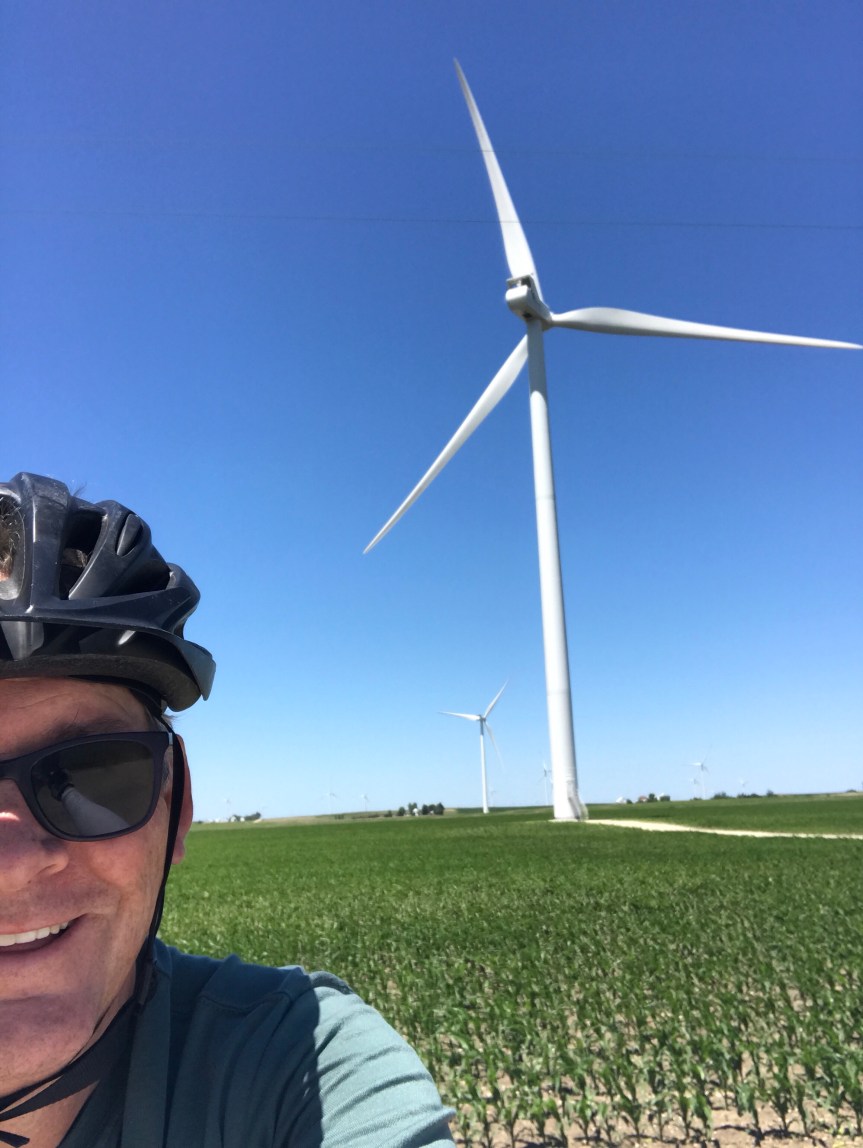
I once saw a turbine blade on display near the Energy Department. The thing looked to be as long as a football field. (How they drove into DC with it is beyond me.) Anyway, seeing these things from a distance is truly impressive but up close they are hypnotic. I nearly ran off the road I was so captivated by them.Another thing I noticed today is that the pool table is starting to have some gentle up slopes. I probably climbed 200 or 300 feet today, 30 feet here, 20 feet there. In Kempton I stopped for lunch at Tom’s. There is a mural that runs the length of the building. It’s a bit like to cover of Sgt. Pepper’s. I parked The Mule to the left of Dorothy from the Wizard of Oz. Is she signing something?
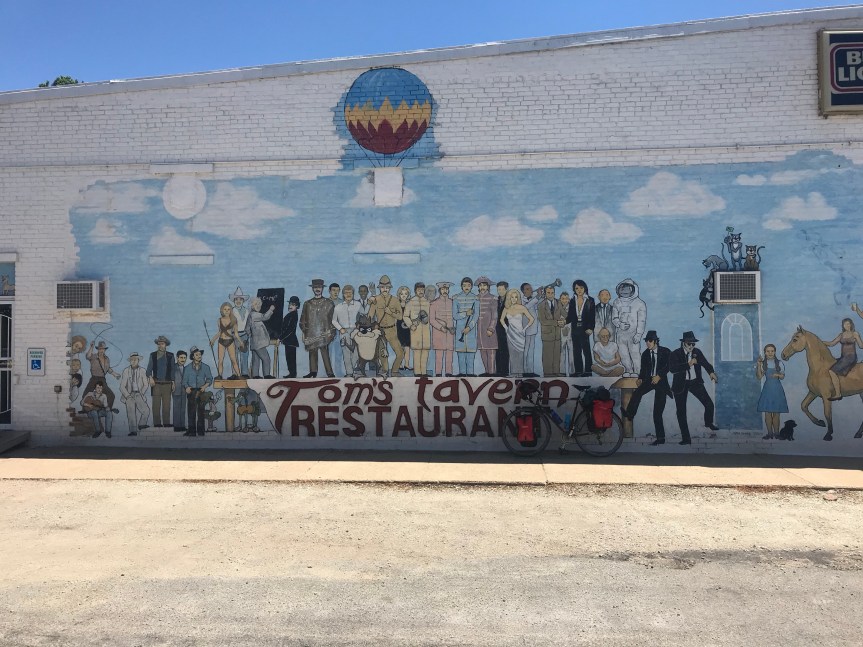
In Odell I crossed Route 66. There is now a bicycle route that follows the route from Chicago to Los Angeles. As I was taking a picture of the sign a woman jumped out of her car to get a picture of her own. My plan had me stopping at Cornell Illinois but there were no campgrounds or hotels there. There was plenty of daylight left and I was feeling fine after 67 miles so I continued on to the City of Wenona. They let bike tourists camp in the city park. It’s a very nice set up and the shower was the best. My thanks to the Wenona police officer who directed me to the park (and checked up on me later) and to Sheila who showed me around and gave me the secret code to the shower room.On days like this I have a hard time getting off the bike. I rode 92 miles. My total for the first two weeks of the tour is 1,030 miles.

Some Ride/Hike Ideas for 2016

About a year ago I was admonished by a friend for sounding wishy washy regarding my 2015 vacation plans. “Stop planning. All we have is today” was her way of saying don’t plan, DO!  Irony alert: in January 2014 she told me of her plans to obtain certification to teach in DC schools and to open a business. She followed through on none of it, eventually leaving town. Even so, she had a point.

I suck at advance planning. Somehow I managed to do a bike tour, a non-bike trip around the world, nearly a dozen day hikes, half a dozen bicycling events, and take in a bunch of Nationals games. So with that in mind I began thinking about things to do in 2016.

I anticipate one non-biking vacation (to Sweden and thereabouts) to visit my daughter.  (A return to Thailand in the dry season would be nice but I can’t face the 18 hours of flying right now. Maybe 2017.) That will leave plenty of vacation time. So here are some ideas I am tossing around in my head.

Hiking: there are still many, many hikes to do in the Shenandoah National Park. Also, I have barely scratched the surface of hiking in nearby Maryland and Pennsylvania along the Appalachian Trail. One possibility is to gear up and do some overnights. I have never done this and it would be an interesting extension of my day hikes (not to mention save on driving home after a day’s worth of hiking).

Biking Events: WABA swears that it’s going to offer a century ride this year.  If it works into my schedule, I’ll definitely do it. Then there are the usual events: Vasa, Cider, 50 States, Backroads, and Great Pumpkin. I’ve done all of these several times, but the Backroads course was moved to West Virginia this year. I was in Australia and missed it. I can’t wait to do the new version. Two more that I keep threatening to do are RAGBRAI and the Five Boro Ride in New York City. Both of them are cattle drives. Both offer logistical challenges. Some of what follows are a lot easier to do.

Bike Trails: There are all kinds of cool trails around here that I haven’t ridden. Here’s a list of Virginia trails:

  • The Virginia Capital Trail goes between Williamsburg and Richmond. This could be a fun 2-day deal or a long single day ride.
  • High Bridge State Park down near Farmville and Appomattox looks really cool with a long, high bridge.
  • The Virginia Creeper Trail is a bit of a drive from DC. It’s only 34 miles but could be a beast of an out and back ride.
  • The New River Trail is a 57-mile trail that looks really promising with 30 trestles and bridges and two tunnels. This is a two-day ride with camping I think.

In Pennsylvania the Pine Creek Rail Trail runs 63 miles through the Grand Canyon of the East. Looks like a good overnight camping round trip to me.

Bike Tours: Right now I have eight possibilities on my list. All in the Eastern U.S.

  • Skyline Drive and Blue Ridge Parkway: This is a monster tour, 578 miles from Front Royal, Virginia to Cherokee, North Carolina. How the hell I’d get back is anybody’s guess. It’s also super hilly so I figure I’d be lucky to average 45 miles per day, 13  days of riding. This could be beyond my physical abilities. (Never stopped me before.)
  • The Natchez Trace: This 444 mile road is truck free. Tack on another 90 miles or so and the route would go from Nashville to New Orleans. Logistics on this one is a bit pricey (two bike flights). Bike Friday to the rescue?
  • Figure 8 in Vermont, New Hampshire, and New York: Adventure Cycling has two routes that form a figure 8. One loops around Lake Champlain, the other does a lap of the Adirondack Park. This one would be logistically pretty easy as I have family in the Albany area where the Adirondack route begins. The total distance exceeds 700 miles. The riding in Vermont and upstate New York is incredibly nice. Also weather up yonder is pretty much perfect for cycling in June – August.
  • La Route Verte: There are over 5,000 kilometers of marked bike routes in Quebec. The possibilities are endless. Then there is the interesting prospect of conversing in my horrid, mostly forgotten high school French. The idea of cycling to Quebec City, which I have never seen, or around Montreal is pretty intriguing. Getting there is a bit of a haul, but c’est la vie.
  • A New Kind of Rail Trail – North: Amtrak now has roll on bike service on the East Coast. Theoretically (relying on Amtrak is always an iffy proposition) I could take my bike on a trail and ride to Brunswick Maine, then ride up to Acadia National Park and ride all or part way home.
  • A New Kind of Rail Trail – South: Alternatively, I could take the train to Florida, ride to Key West, ferry to Tampa and ride across the state to Amtrak in Miami. Or just ride home.
  • Around Lake Michigan: This one starts in Monroeville, Indiana, one of the most bike touring friendly small towns in the US. It heads north through lower Michigan into the Upper Peninsula. Then across to Wisconsin and returns by crossing Lake Michigan on a ferry.  It’s 1,100 miles. Logistics would be simplified by using my in-laws house in north central IN as an alternative starting point.

In the increasingly likely (yet still somewhat improbable) possibility that I retire there is this:

  • The Trans Am/Western Express/Northern Tier Cross Country Ride: There remains a faint possibility that I might retire this year. If so, adios, amigos! I don’t know which route I’d take but the possibilities are numerous. The Trans Am is the classic route from Yorktown to the Oregon coast through Yellowstone. The Western Express shortens the Trans Am by taking a b-line across Utah and Nevada for California. The Northern Tier goes close to the US-Canada border.

Once I find out when the WABA Century and the Sweden trip will happen, I’ll pick two of the tours and as many events and hikes as my aging bones can handle.